


The top, if correct, would mean significant impacts for Louisiana. But just 12 hours later, the next run takes whatever MIGHT form over to Tampa Bay with zero impacts for us. Now look at this afternoon's model run.


Alex forms off the Yucatan and heads over western Cuba and skirts southern Florida moving well off the East Coast. So what are we to believe? None of the above. These are just long range model GUIDANCE and history has shown models don't preform very well out beyond 7 days. So what the heck are they picking up on?


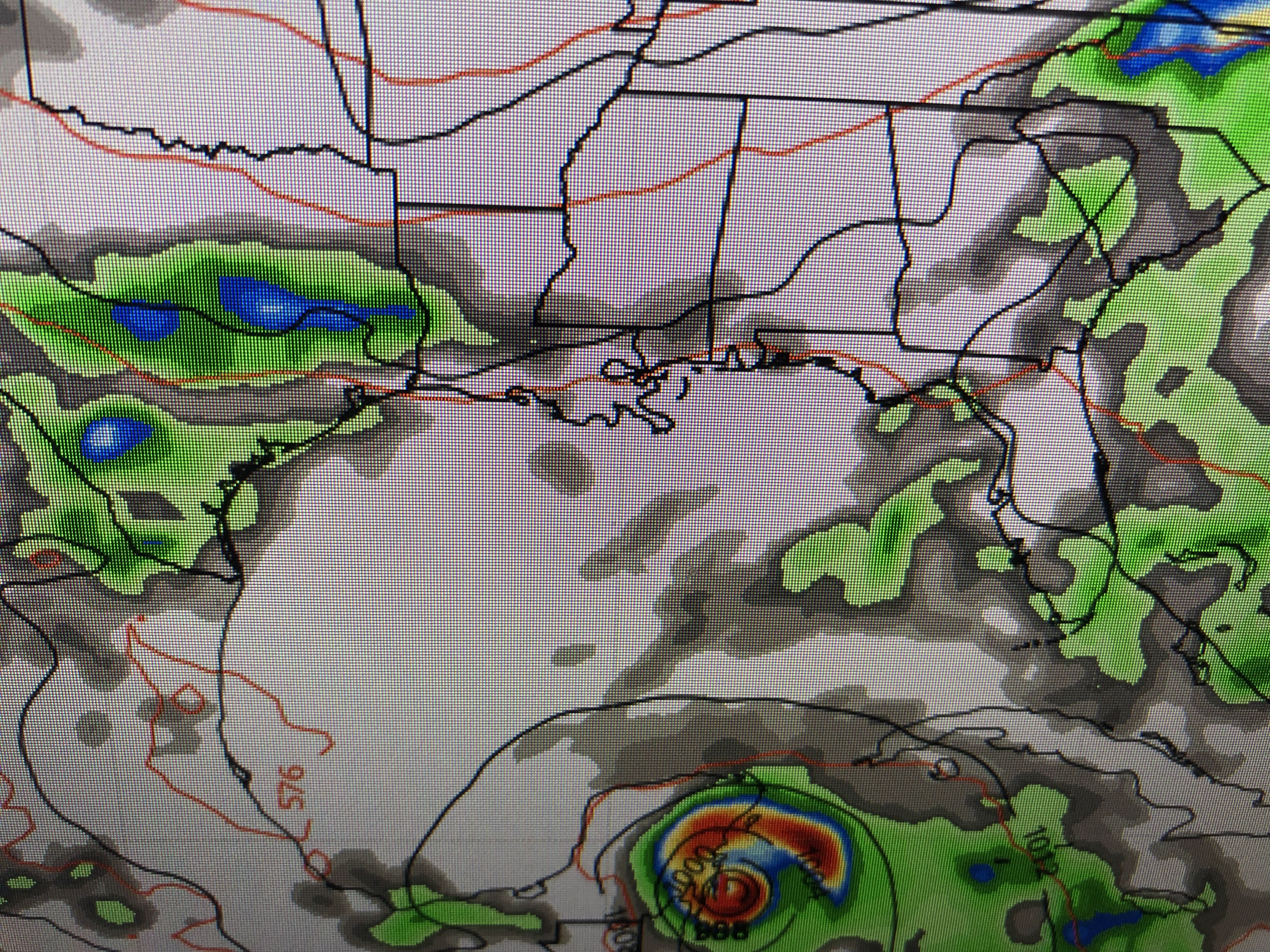
The Gulf Satellite view has nothing going on with the next view showing strong westerly wind shear across the Caribbean. Way out in the Atlantic there appears to be a Tropical Wave approaching the Islands well east of Barbados. Could this be the energy models are seeing? Maybe, but Zack Fradella had this graphic on his morning weather program. Note the last 6 Mays have seen early season named storms. But look at the LOCATION. Again, history tells us early storms stay to our east and are weaker. So let's not get nervous over something that might never happen and/or never affect us.


Very few storms around this afternoon, unlike yesterday. I don't expect much rain for the next several days so my focus will remain on the Tropics.


Enjoy your Sunday and stay tuned!

No comments:
Post a Comment