


None of the computer models have anything happening in the Tropics for the next 10-14 days, which is typical for July. We all know Mid August through September is our "Prime Time". Let's enjoy the quiet for now.
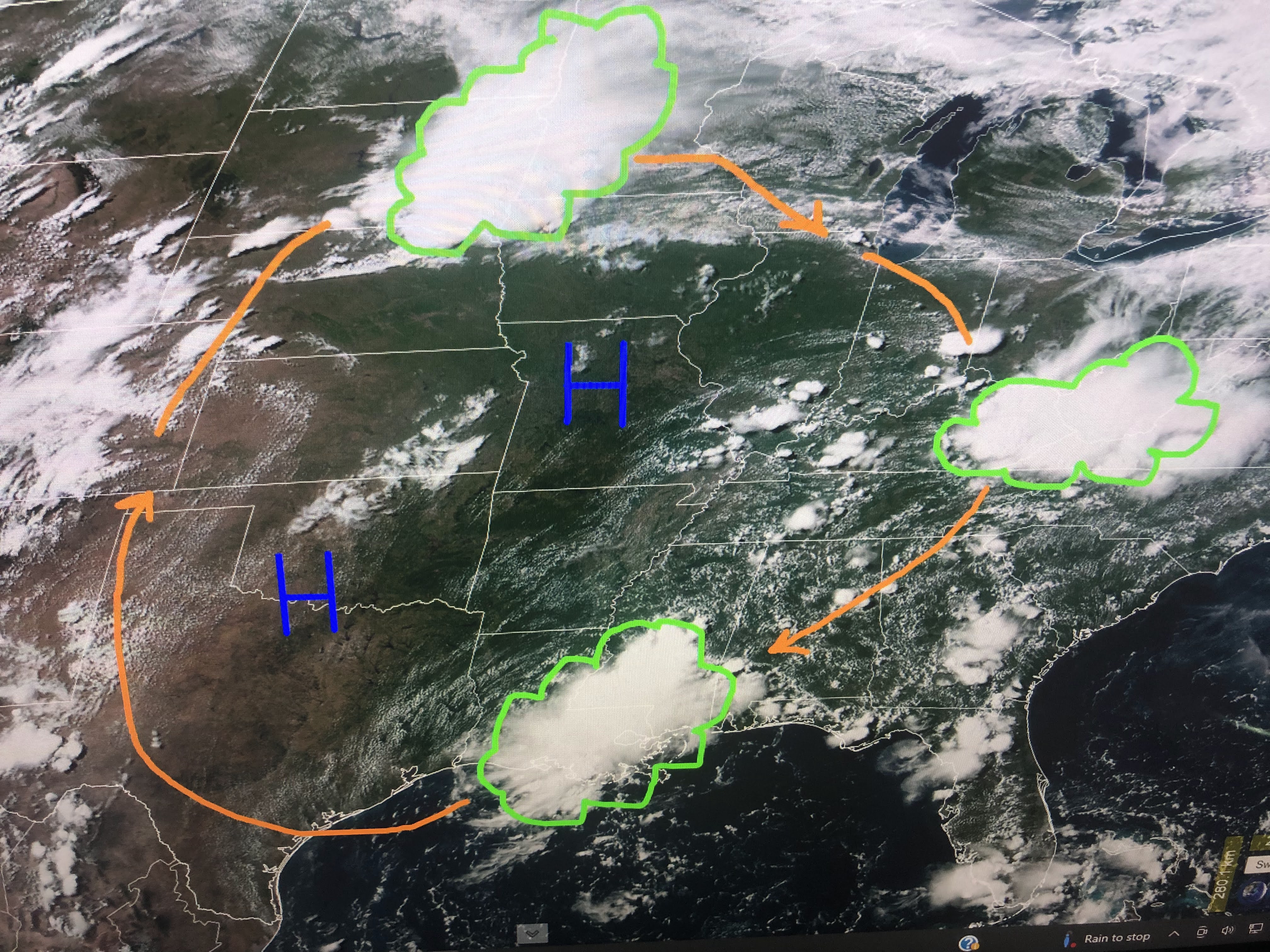


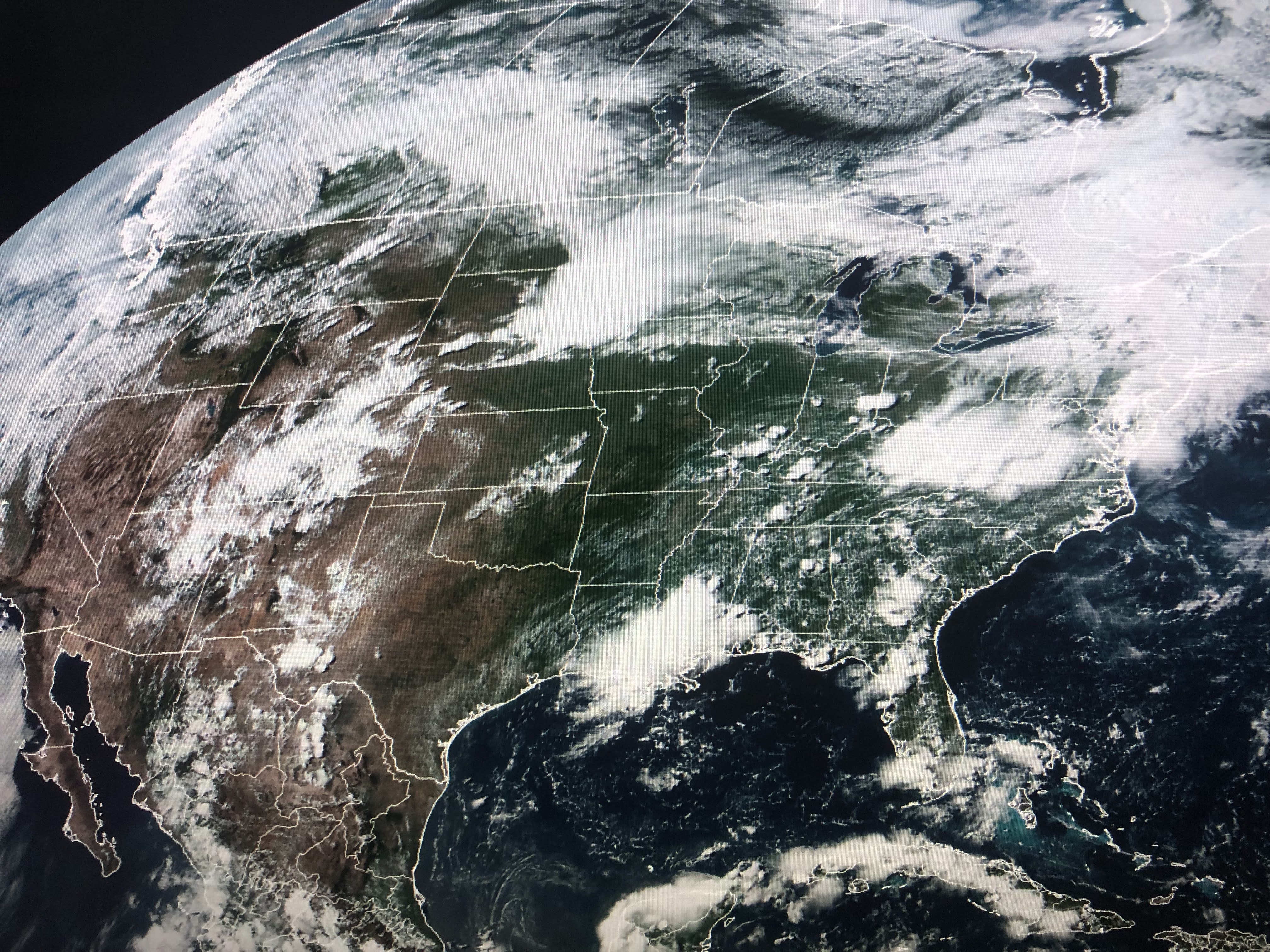
Once fronts stop coming, the trigger for our daily storms are 1) daytime heating and/or 2) Upper air disturbances. Satellite loops clearly show an upper high centered from Texas into Illinois with clusters of storms rotating around it. Back in the day we called this a "ring of fire" pattern. Now days they call them "ridge riders". Whatever, what's over us today should move away and tomorrow should see fewer storms and more sunshine.


Some folks received 1-2" of rain, but we all saw relief from the heat. If I'm not mistaken, this is the 5th day in a row below normal/average compared to only 2 during the whole month of June. Rain makes a difference.


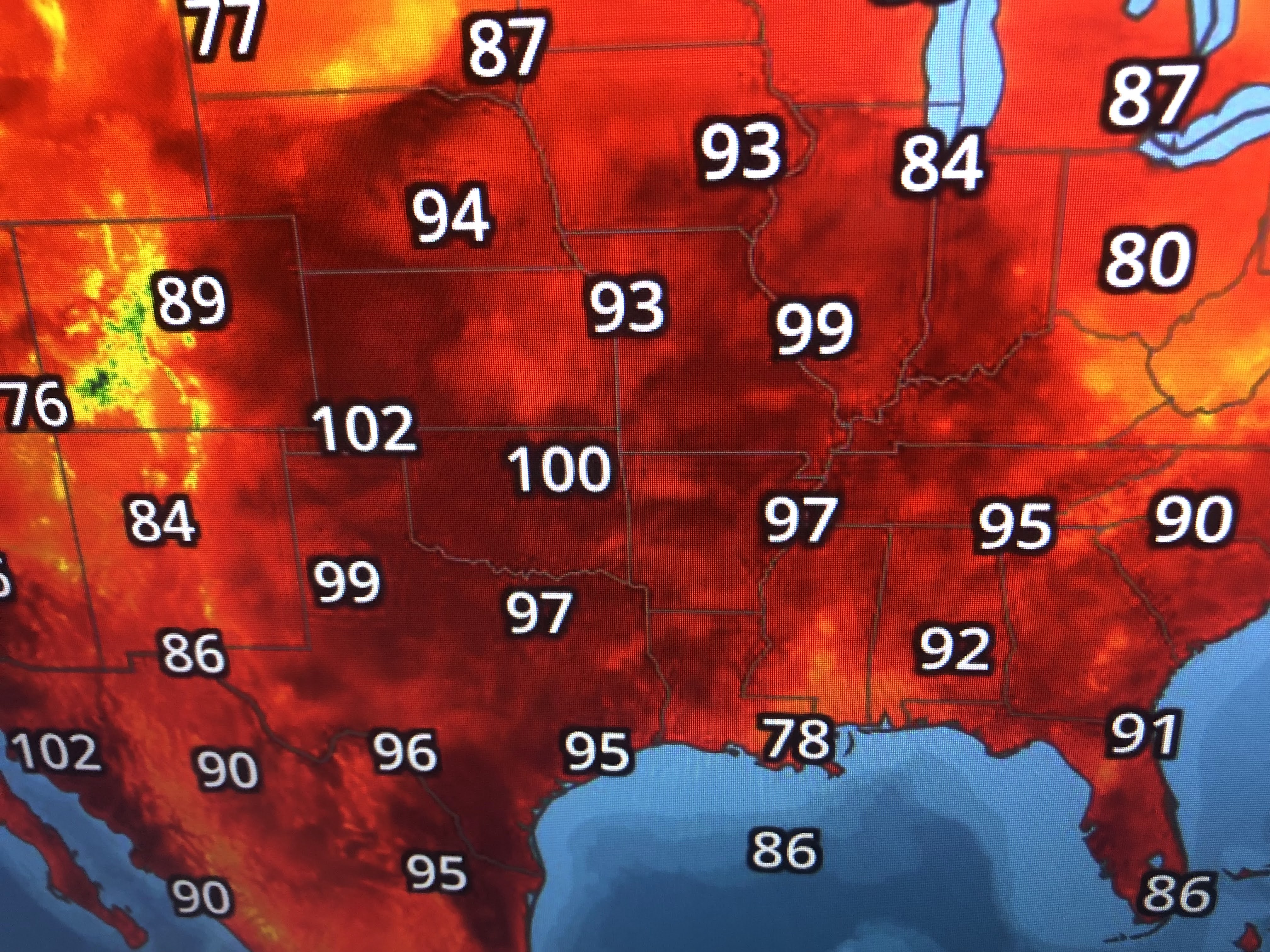

It's not showing up yet, but models are hinting that an unusual July cold front will reach us late next Sunday into Monday. Note how much of the country is dealing with heat & humidity with dew points into the 70s up to Minneapolis. If the front reaches us, it would increase storms here Sunday & Monday and make us less hot.


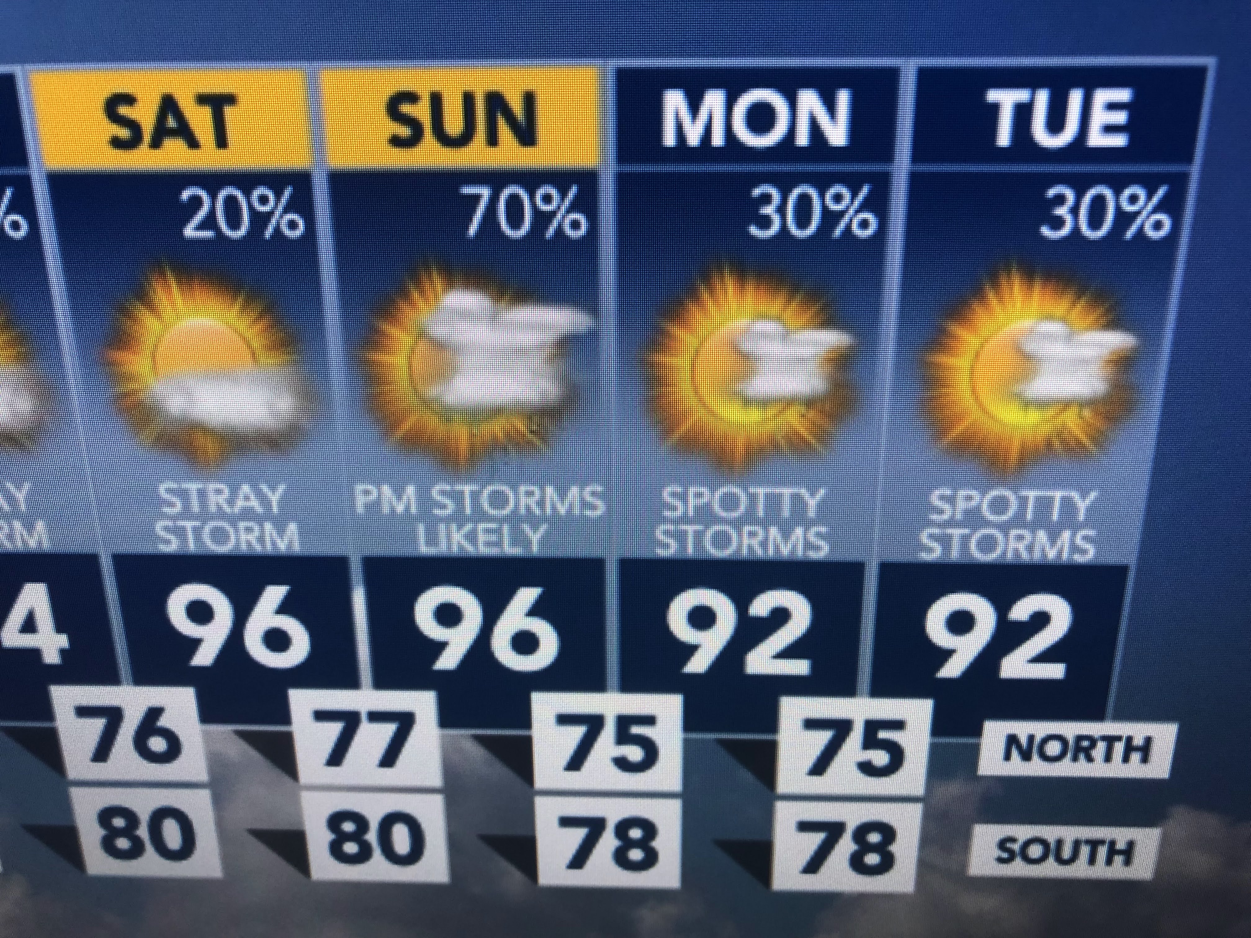
Don't count on it. We can count on the usual heat and humidity with a spotty storm for the next 3 days. Today's rain & cloud cover felt really good. Stay tuned!

No comments:
Post a Comment