


The EYEWALL of Ida was going to miss Metro NOLA, but that last minute wobble brought the heart of the storm into St. Charles & Jefferson. It made areas west of Morgan City not as hard hit, but it clobbered areas east of the center line track. I say this to give some of you hope if your city is in Ian's bullseye. Let go over what we know. NHC is watching a new area way out in the Atlantic, but it's Ian that is center stage.


Geez, I just heard a national reporter say, "for most, this is not their first hurricane". True, but for most, this will be their worst hurricane seeing impacts they have never seen before. He continues to get better organized and should have the classic donut hole look of a major hurricane by tomorrow.


NHC has shifted their latest track slightly to the east bringing the EYEWALL on to Florida's west coast. Worse yet, models are slowing forward movement meaning folks will be in for many hours of chaos.


IF this track proves reality, the Tampa Bay area will get the worst of the storm. Storm surge of 6-10' will spill water over the sea wall on Tampa Bay. Many parts of Pinellas County will be flooded from St. Pete to Clearwater to Dunedin. Davis Island & inter-bay Tampa will see water where none has been "in our lifetime". So what could change? This track has no wobbles, but it might keep shifting eastward in response to a deepening upper trough dragging down a cold front from the north. IF the track could shift south of Tampa, that would be huge as the worst side of the storm is to the right/east. Don't think this current center line is the final track.


You can see the colder air plunging down over the Great Lakes. It's still warm/hot down south, but that will change. Look at the 30 & 40 dew points coming our way. As the circulation of Ian begins entraining that drier air, that along with increasing upper wind shear will weaken him. Which will win out? Ian moving northward, the cold front moving southward? It will be interesting to see who "wins".


The current surface map has the front stalled just to our north, but it appears it is just to our south on radar. McComb's dew point is down to 48! Now that's good feeling air!
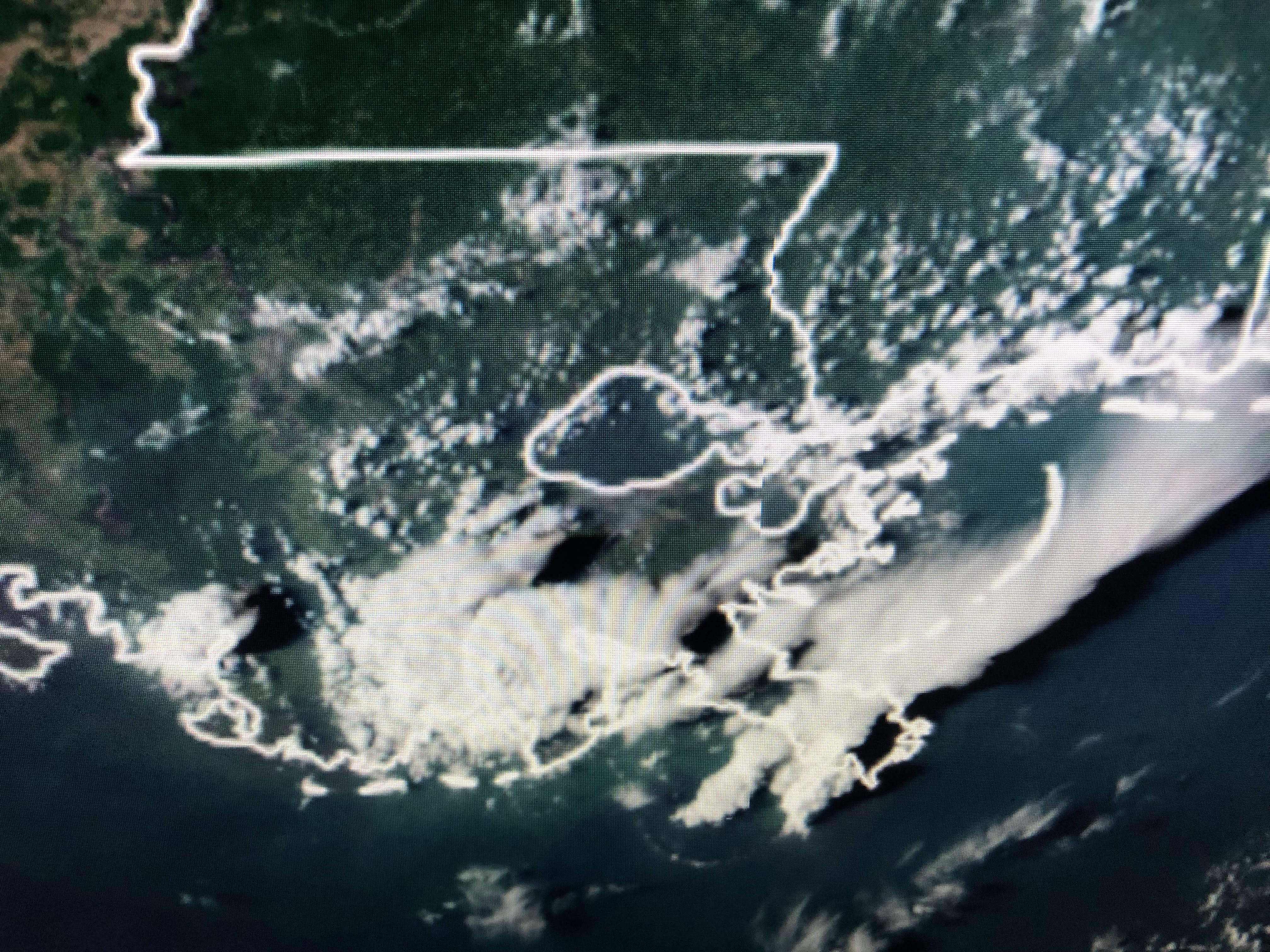


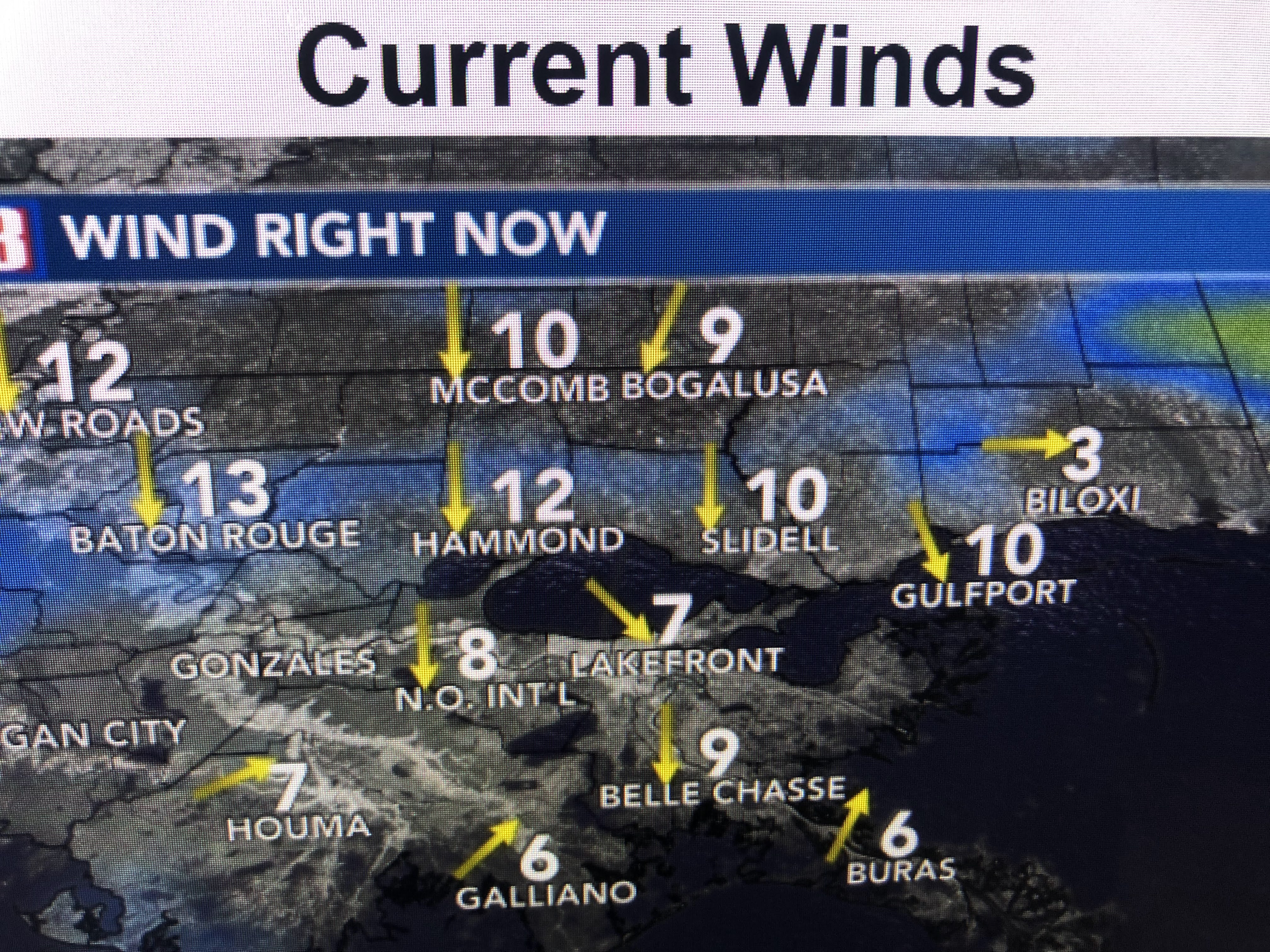

Some big storms have fired off just to our south. Winds have turned around to the north, but we're not feeling the cooler air yet.


You'll notice the difference when you go out tomorrow morning, especially across the Lake. Since it will be breezy the next several days, after the sun sets, you may need to pull out the sweaters! Yippee! Stay tuned!

No comments:
Post a Comment