


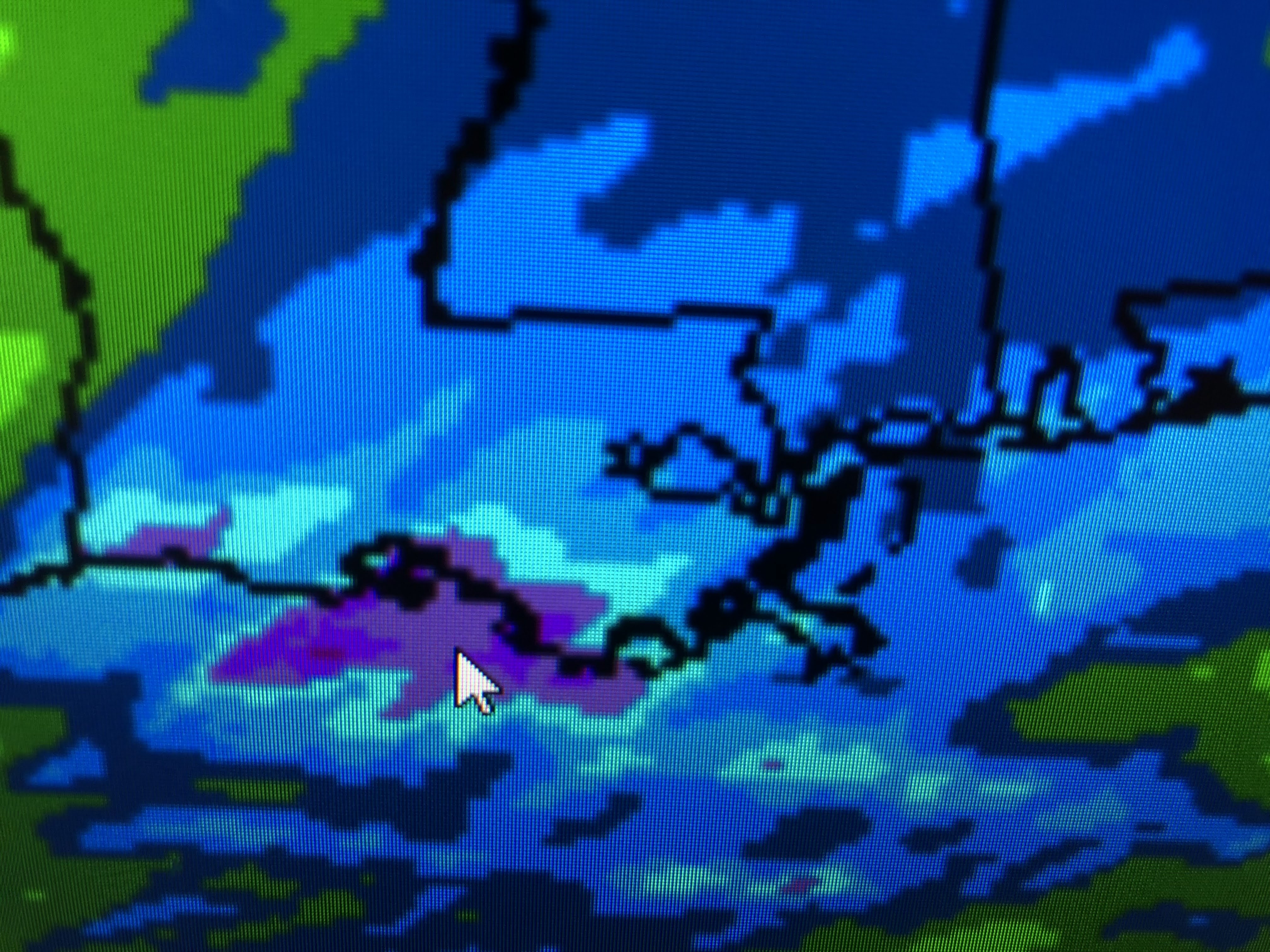
There is a slight risk for a strong storm here overnight. Computer models seem to be overplaying the heavy rainfall as the disturbance is moving quickly and low level moisture/high dew points remain over the Gulf. However, most of us should get at least 1-2".


I like the idea for the heaviest rains to stay along the coast. We need the rain and the ground should easily soak it up with only minor street flooding.


Bruce showed the extensive early snow cover up north and that is where the flow will be coming from this week. We stay chilly with several minor rain chances after tonight.


The good news is all the rain will be gone by daybreak and morning drive should be dry. 55-60 highs are below normal/average for mid November, but if you're dressed for it and if the sun can break out, Tuesday PM & Wednesday will be nice. Note the North Shore will have to deal with freezing temps. late this week. Stay tuned!

No comments:
Post a Comment