

I think it was Coach Mora who said about the fans..."they think they know, but they don't know and they'll never know" because most fans have never played the game. I agree. But I do know when a team commits 10 penalties and has only 10 first downs, and when a team keeps getting bullied by team after team and when a team continues to be undisciplined week after week, then it comes down to COACHING and bad front office moves. (no 1st round pick next year). There I said it. I feel better but let's get back to weather.


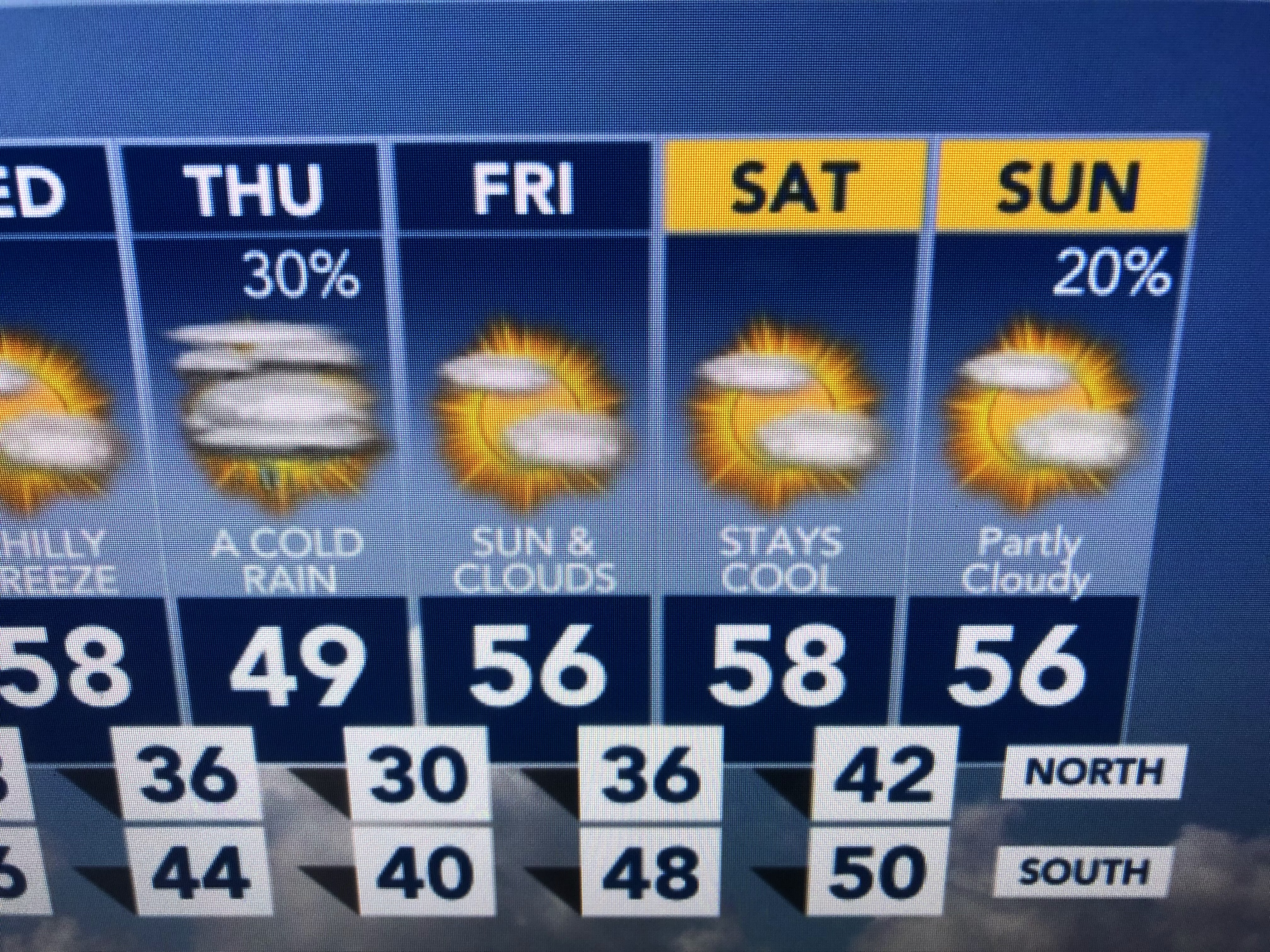
The main storm track this week will continue from the Pacific NW down over the Rockies and across the Gulf South. That will keep most of the nation colder than average/normal. The best rain chance comes Monday night into midday on Tuesday.


The heaviest (1-2") rainfall will stay along the I-10 corridor as this feature will be a fast mover.


There is a brief warmup ahead of our next front and we could jump into the warm air sector Monday night. Note how low the dew points are currently.


With clear skies and light winds, there could be some frost tomorrow far north of the Lake.


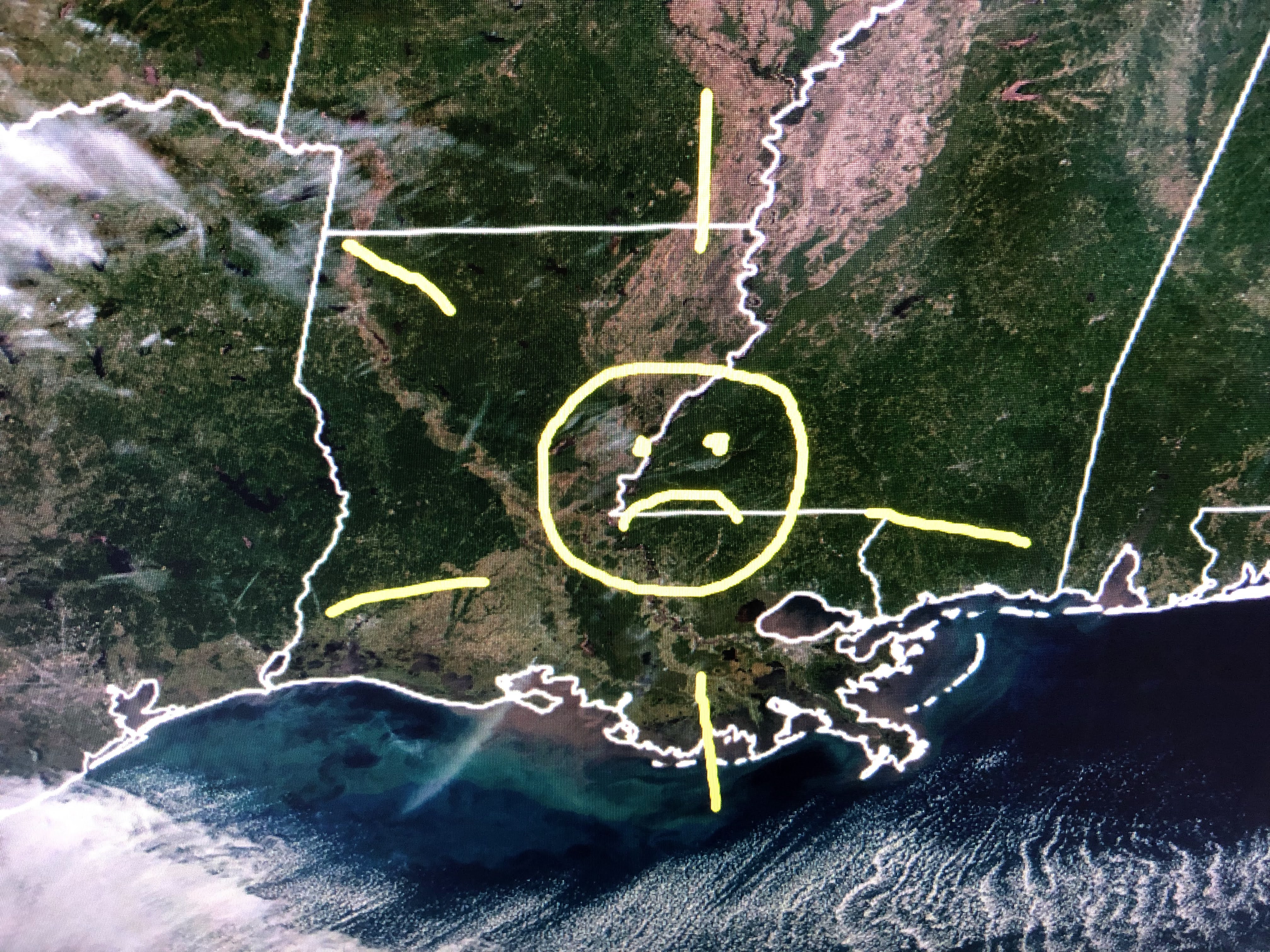
Finally, I'll close with these satellite views. The top shows the cold air streamers that form offshore as the chill moves over the warmer Gulf waters. The middle & bottom show why we are getting colder. The yellow arrows point out how the Arctic now is in constant darkness while the Southern hemisphere gets the higher, more direct light from the sun. it'll be that way for the next several months giving us Winter while giving them Summer. Cheer up Gang. The sun will rise tomorrow. Stay tuned!

No comments:
Post a Comment