


The confidence is high regarding the forecast for the next two days. After that, we have some timing issues as it may take until Friday for the Rockies upper trough swings through.


That SW upper flow will slow down the cold front with some overrunning precipitation behind it lingering into early Friday.


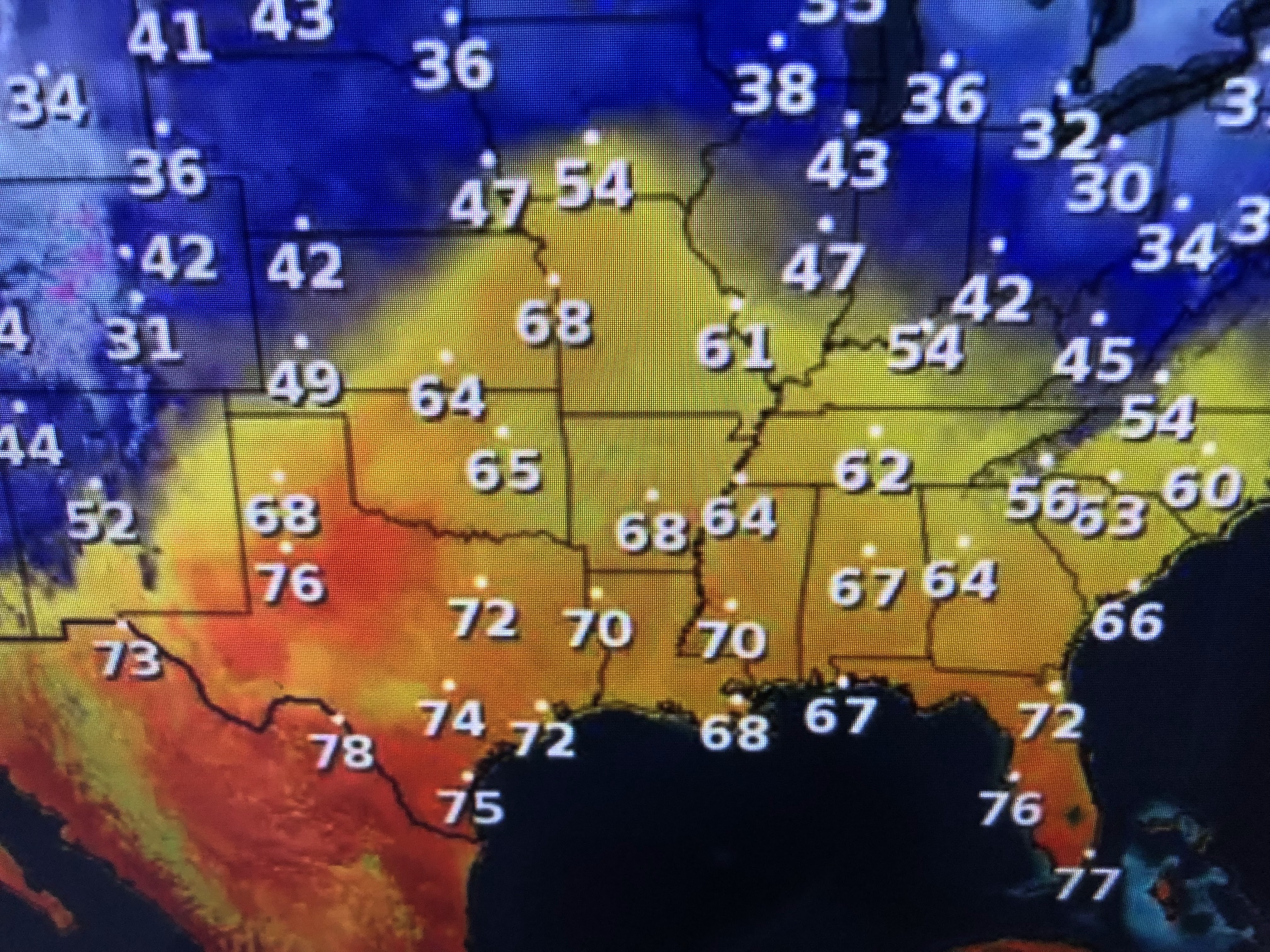


You can see the 70s over most of Texas with the higher dew points (50s & 60s) surging out of the Gulf. SPC has a slight risk for some severe storms along the front. Hannah Gard outlined the timing of that threat IF the computer model is correct.


Tuesday could see a few showers as we get into the warm air sector. On Wednesday, most of the rain will hold off until late in the day with a line of storms possible well after dark. The cold comes in surges with the real chill arriving after noon on Friday.


Any showers should be gone before any of the weekend Mardi Gras festivities begin, including Family Gras on Friday & Saturday in Metairie. For sure, it will be windy & very cold, but there will be no rain. There will be freezes on the North Shore Saturday & Sunday and the South Shore away from Lake P. We'll update that as we get closer. I'll be out fishing with Captain Hylton tomorrow so my next post will be Wednesday PM. Stay tuned!

No comments:
Post a Comment