


SPC has highlighted a large area for Friday's severe potential with the bullseye (level 4) to our north. From the model runs I've seen, the severe area might be a little farther to the north with many of us over south LA/MS getting very little rain.


Just pay attention to your FOX 8 Weather App in case any warnings are needed late tomorrow into early on Saturday. Rain chances actually will be higher on Sunday as the weak front stalls over us.


As it has been for most of the Winter-Spring seasons, the upper trough keeps the West cold & wet with the eastern states, especially the Southeast enjoying mild to warm temps.

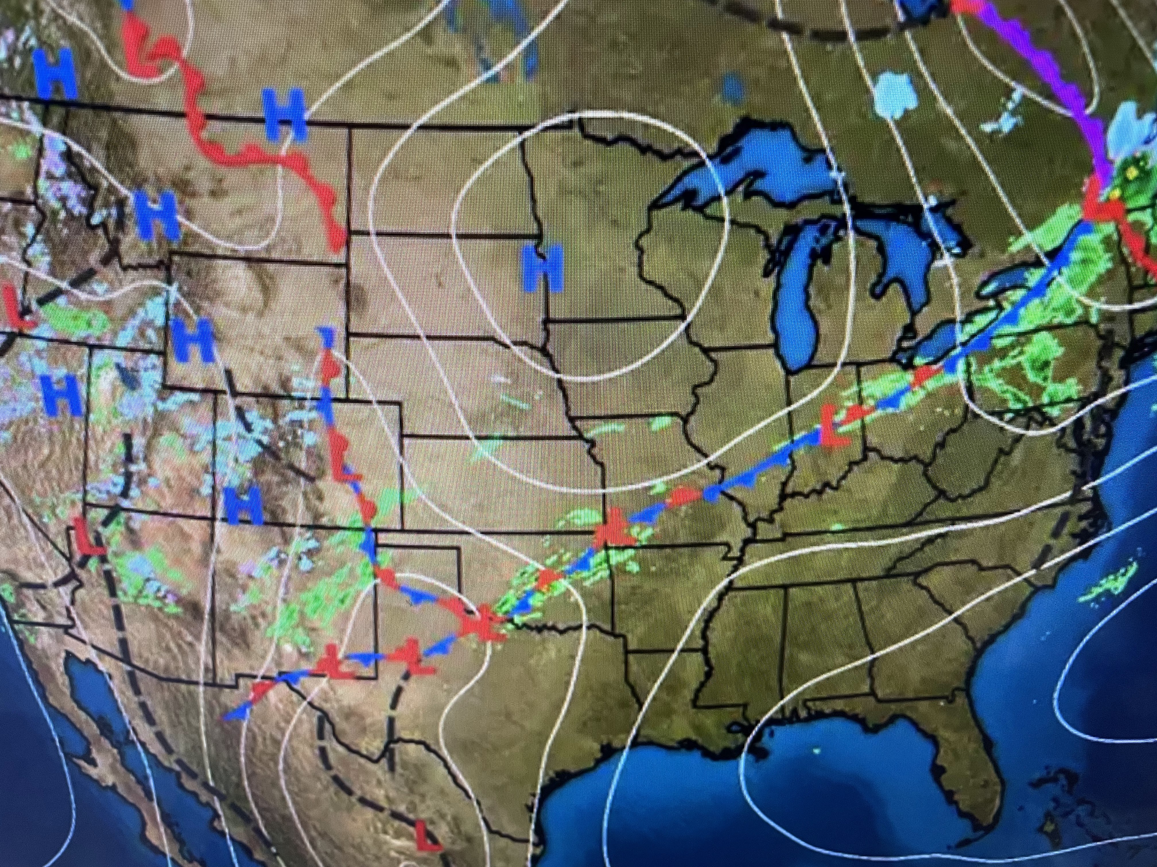


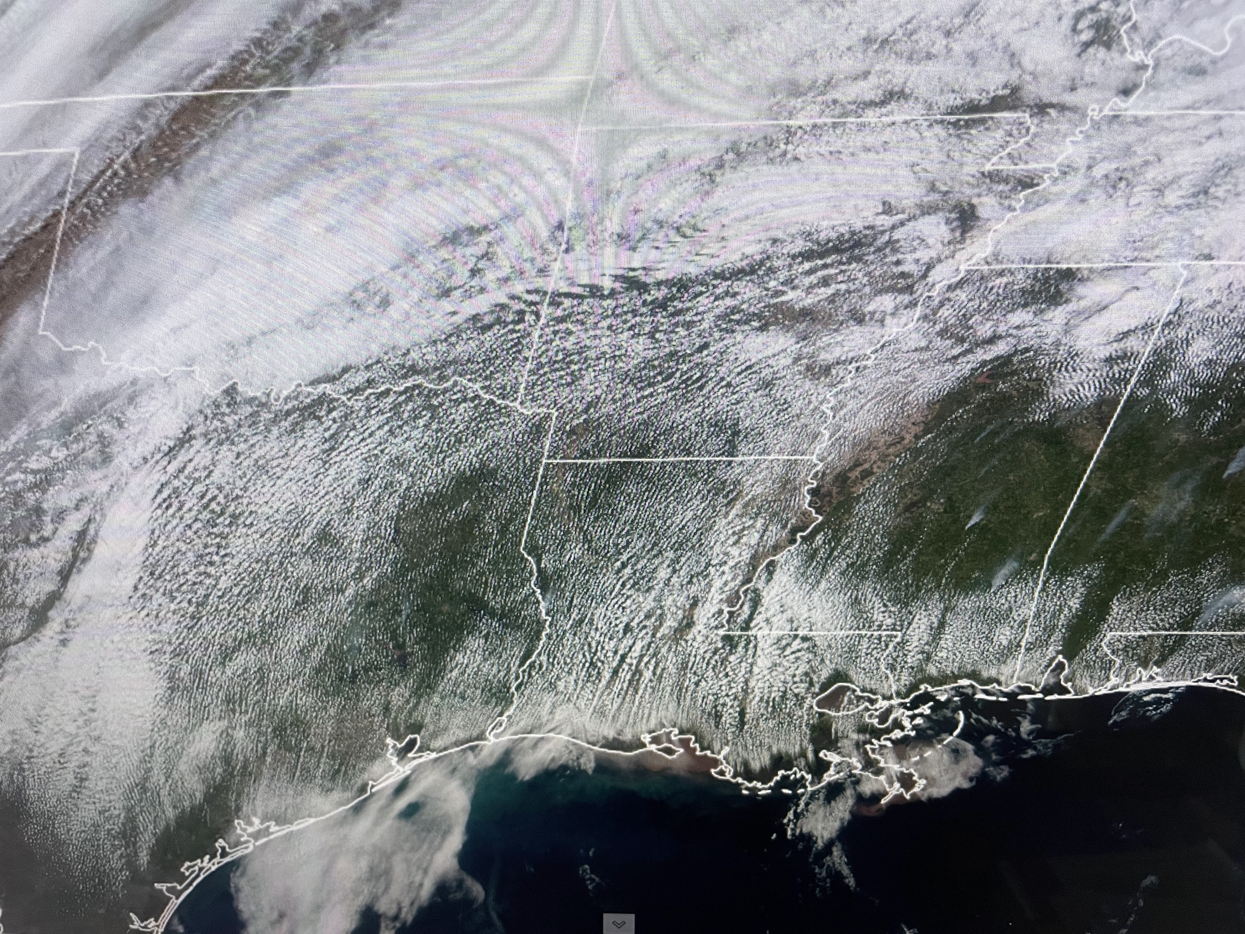
You can clearly find where the front is located as temps north of it are in the 40s while it's 80+ south. Even the dew points (bottom view) show the difference in air masses with 30s north of the front and 60s south. That's plenty of fuel to fire off big storms tomorrow.


I know many of you are looking/hoping for colder weather before real summer arrives. It will be a little cooler next week, but that's only because a front is likely to stall near us keeping lingering rain chances around. April typically sees several cold fronts, especially during the first 2-3 weeks. We are not done with sweaters & jackets. We are done with the freeze threat and I might even try planting another tomato plant (remember Bubba?) next week. Just to play it safe, pay attention to the weather Friday PM until we know for sure the severe threat will not be here. Stay tuned!

No comments:
Post a Comment