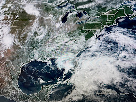
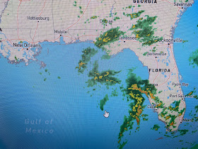
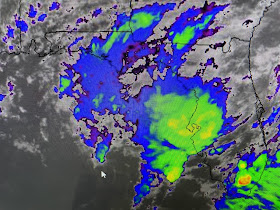
On the visible (daylight) view, I find 2 surface low level swirls, one off the Carolina coast 7 the other over the Eastern Gulf. I've drawn in the upper trough that is producing very strong winds that are preventing T-Storms from developing around the surface center. In addition, the upper trough is driving down drier air on the western side.
Right now, there are no storms forming around the center. I've drawn in yellow what I believe might happen with the current center. It may drift back towards/closer to us tomorrow before turning back to the south and then into Florida. We could see some increase in showers on Thursday before we dry out again for Friday & Saturday.
This currently is and should continue to be a very lopsided system with us staying on the Drier side. Florida will be on the wet side.
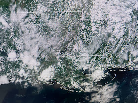
Showers have again been below normal/average today as our highs flirt with 90.
Rain chances go up a little for Thursday before going down again for this weekend, especially if something does form over the eastern Gulf. So the question is, will Arlene be named? Or will this system be like the Memorial Weekend system off the Carolinas last week? Regardless, it won't give us any impacts aside from some higher tides & coastal wind gusts.


No comments:
Post a Comment