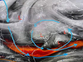
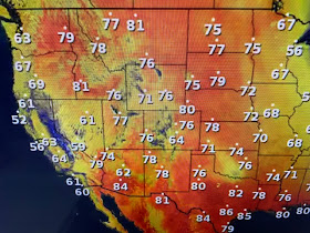
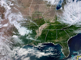
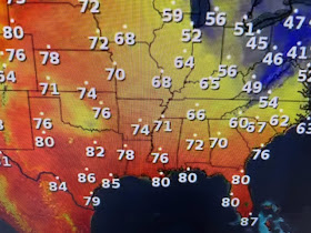
Those little lows are called "vortices" that rotate around the main area of low pressure. Note how cold it is under that low. Now let's flip to the West Coast low where ahead of it under the upper high, temps have soared into the 80s up in Canada.
In the short term, Thursday will be another dry day with low humidity and plenty of sunshine. As surface winds return off the Gulf for this weekend, you'll notice a different feel to the air as dew points bounce back into the 60s.
We reached the mid 80s today, but I don't think we'll see our first 90 this week as the upper high never settles over us.
I came to NOLA back on April 1st in 1978. One month later, we had our first "hundred year flood" on May 3rd that brought the city to a standstill. Being from the northern states, I had never experienced a foot of rain in 24 hours. Welcome to NOLA! I think we had 2 more hundred year floods in the 80s & several in the 90s! Stay tuned!


No comments:
Post a Comment