

There are many local outlets(book stores/ hospitals/city halls) including most Rouses that you can go to & pick up your free booklet. Preparedness is a lot like religion. You can make it as complicated or as simple as you want. This Storm Guide will help you weather this year's Hurricane Season. While the Tropical Atlantic has gone quiet, the Eastern Pacific finally has their first named storm(Adrian).


Dr. Knabb on TWC says this is the second latest 1st named storm in that part of the world. With an El Nino getting stronger, it usually means the EPAC region is more active while the Atlantic basin goes less. So we really want these storms to form in the Pacific. Back in the Atlantic,

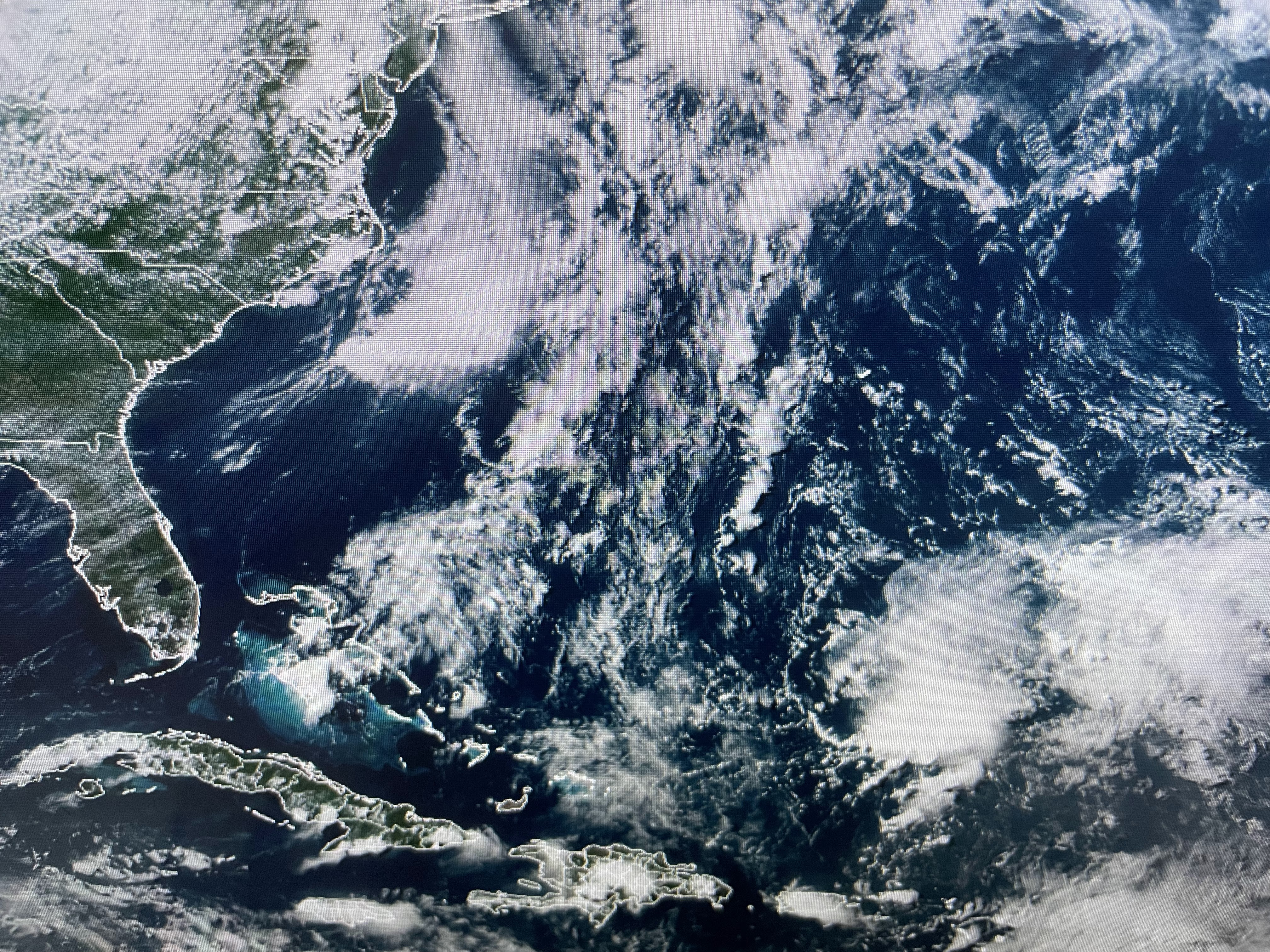
NHC still says the remains of Cindy(I can't find any) might get reorganized north of Bermuda later this week. Whatever, she won't be a problem for the Gulf. Our problem continues to be the extreme heat caused by the stalled blocking upper air pattern.


The upper high is predicted to shift over Louisiana by Thursday and Friday resulting in highs flirting with 100 degrees.


This will finally begin breaking down as we head into the weekend which should allow for more daily, cooling T-Storms.

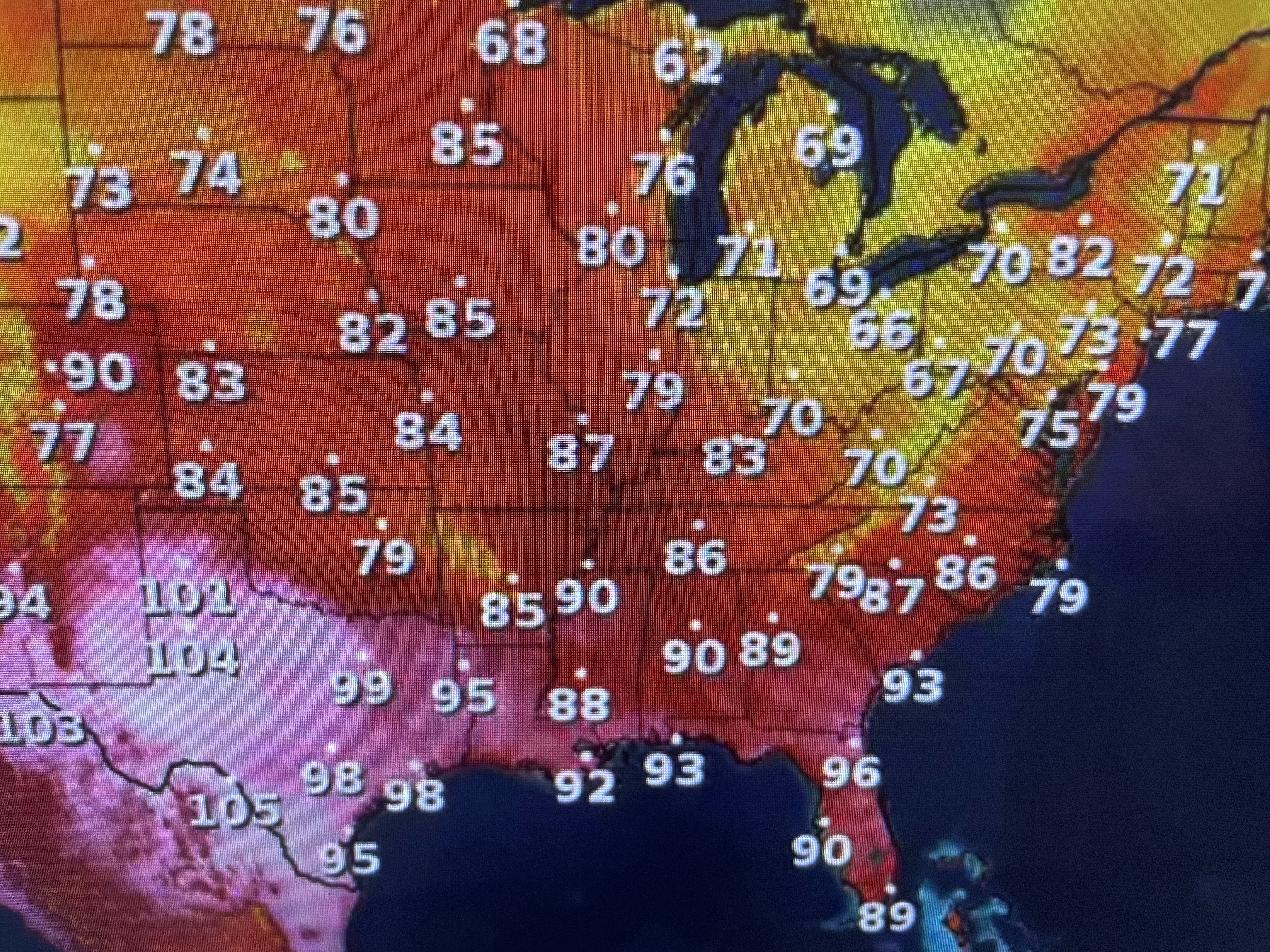

Not everybody is hot. In fact, under the upper low over the Great lakes and Northeast, some folks need jackets. Down over the South, there is a moisture boundary between the high dew points (75-80) & drier air north of the front. Nope, that front won't make it down to us.


There are clusters of storms to our north sagging slowly to the SE. If they can hold together, we could see some welcome cooling relief after dark. Otherwise, we keep baking Finally,


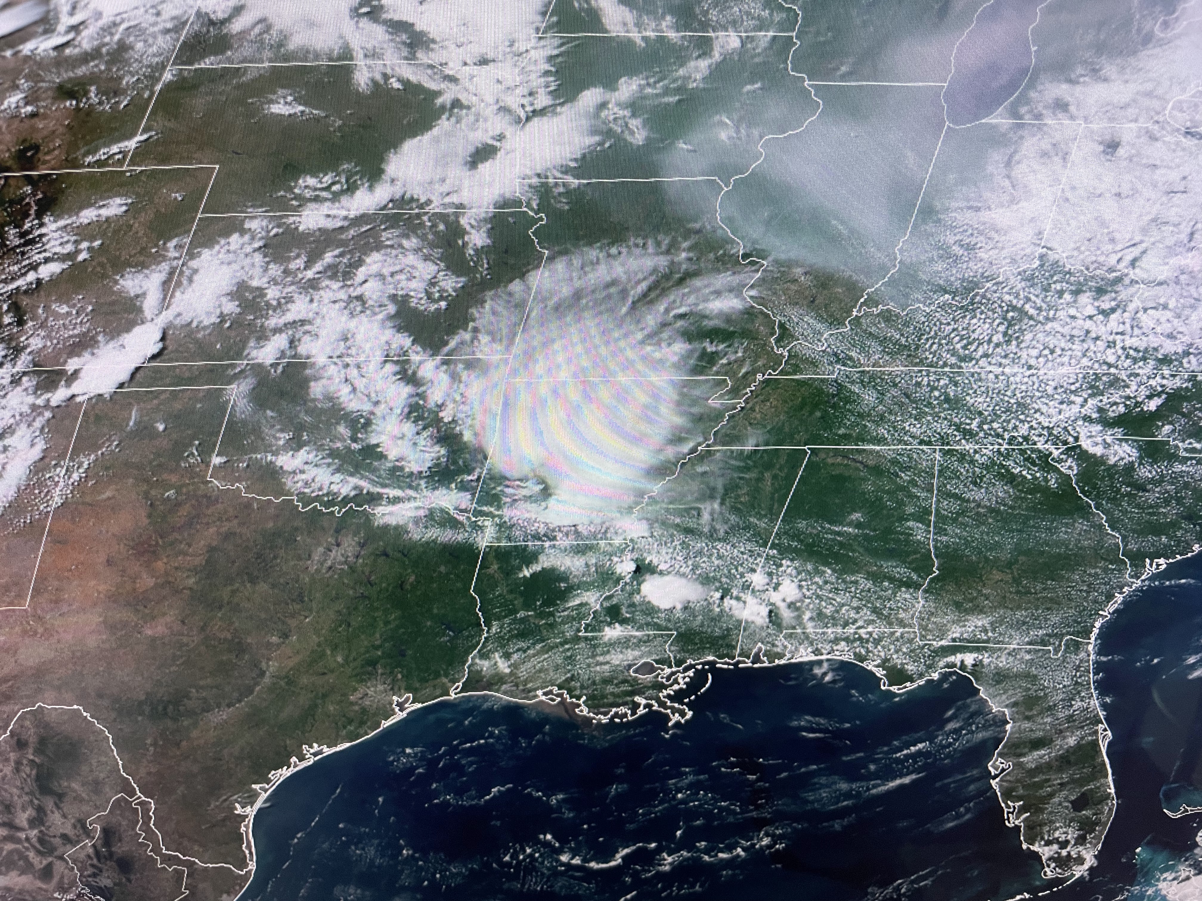
I always like to close with some neat satellite pictures or other different photos. The top is the smoke plume that is still streaming out of the fires over eastern Canada. It is making for bad air quality over many states. The bottom is last night's sunset taking from my backyard. Enjoy. Stay tuned!

No comments:
Post a Comment