


The upper air pattern is essentially an "Omega block" that has a low over the Northwest and over the Great lakes with an upper ridge in between. Block means the pattern will be slow moving if moving at all. Zack Fradella showed us what the computer models predict on this morning's newscasts.

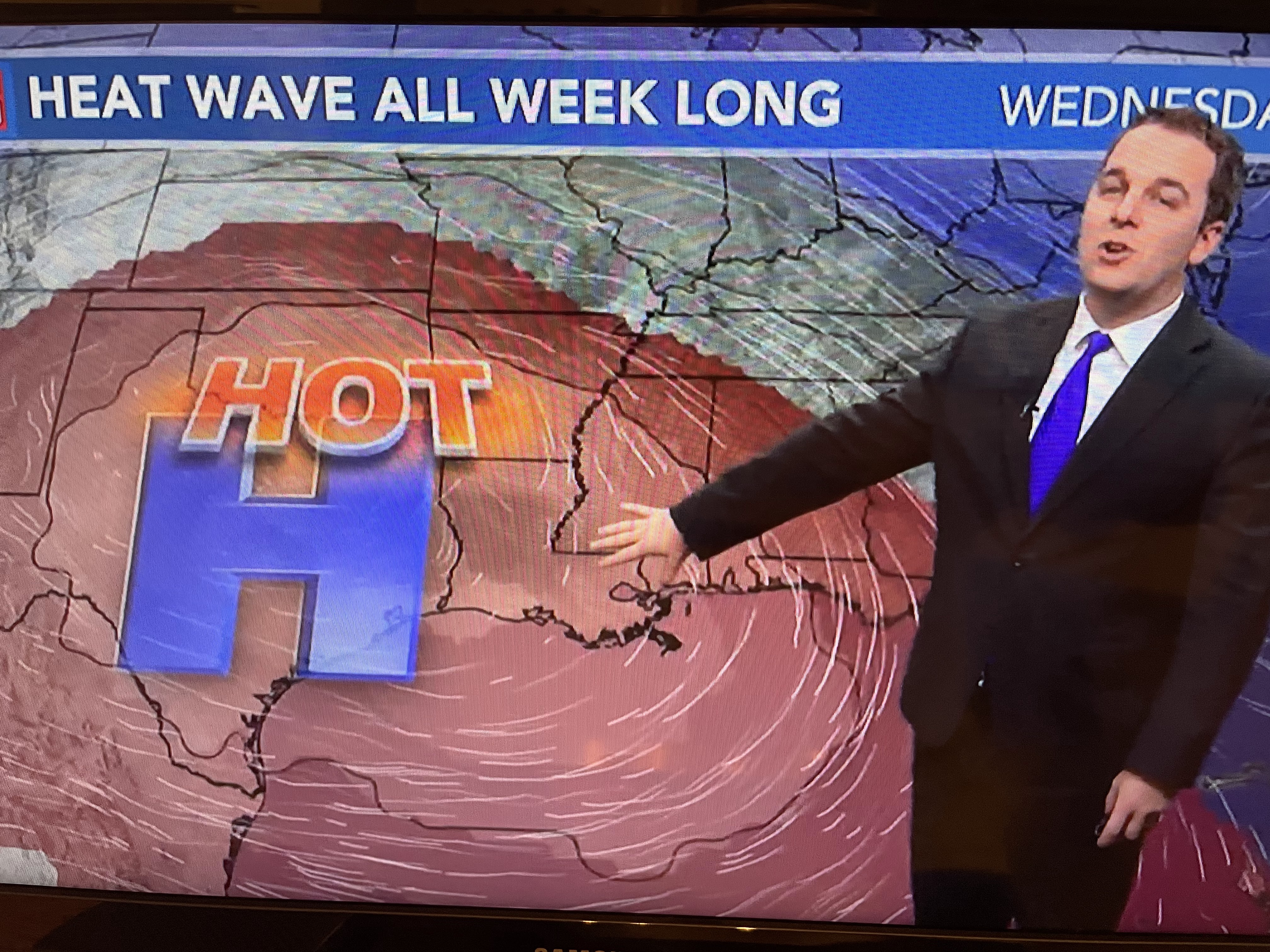

The upper high/heat dome means sinking air that compresses & gets hotter. The model says the center will park right over us by Thursday & Friday. Consequently, NWS has issued the heat warning for tomorrow that will last the rest of this week.


Nicondra Norwood had this graphic on her 4 PM program. It showed temps 100+ have happened before in the past 10-15 years. Note 3 of those years occurred in June! So where do you go for relief? Go North or Northeast.


Under the Upper Low are clouds and showers that are keeping folks almost chilly. Northern Michigan & Wisconsin are in the 50s & 60s!


We actually were lucky to get the midday clouds & showers as the brutal heat is just to our west.


I'm already tired of talking about the heat, except I want you to take it seriously. When air temps flirt with 100 (near records) & the high humidity/dew points create heat temps/feels like 110+ degrees. you need to use common sense if you have to be outside.


We were lucky today. The rest of the week doesn't look as promising. Finally, the Tropics...


What's left of Bret is about to move into central America and could actually re-emerge in the Pacific by this weekend.


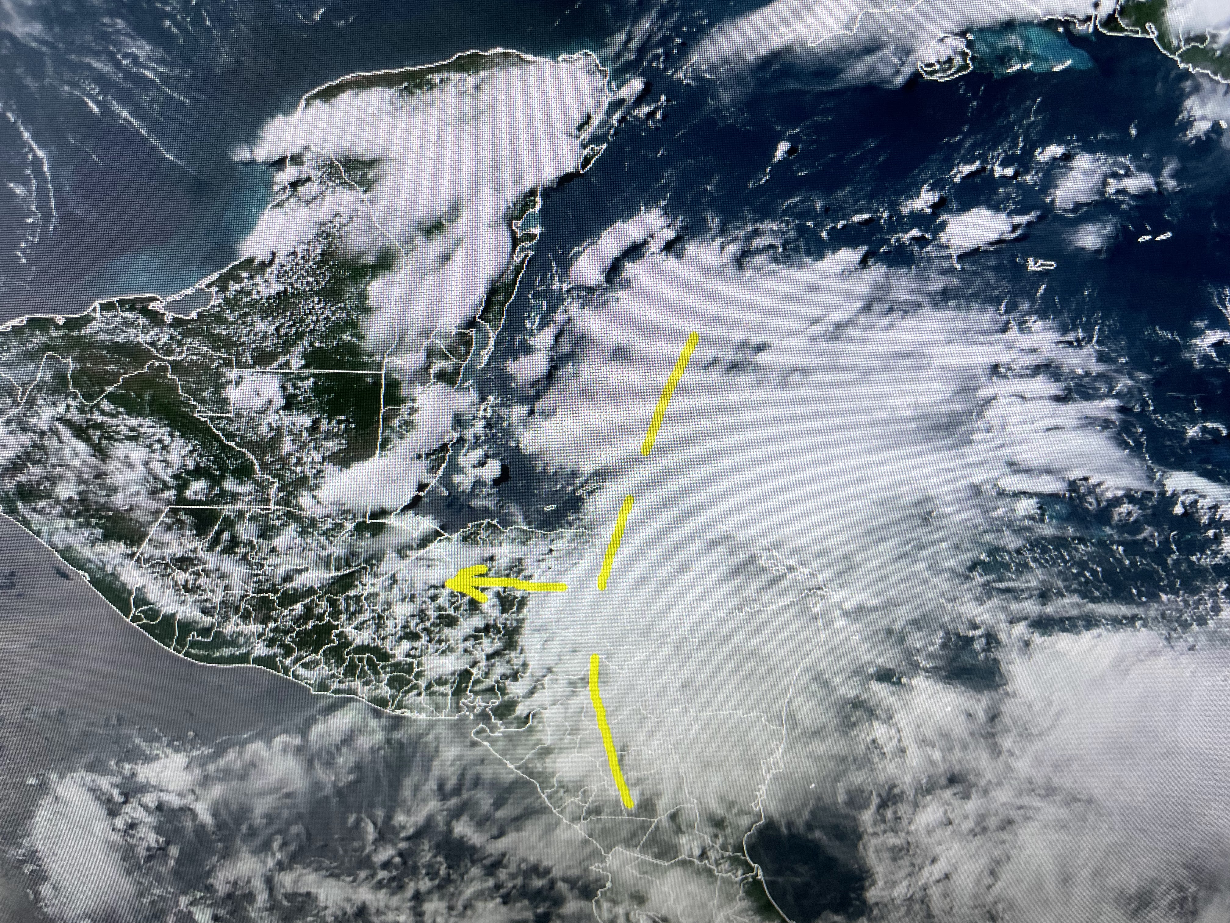
Cindy is still spinning NE of Puerto Rico, but all of the T-Storms have been blown well east of the exposed center (yellow arrow). No model indicates development in the Caribbean or Gulf for the next 7-10 days.

In fact, during an El Nino year, the Atlantic becomes less active while the Eastern pacific (EPAC) gets very active. I like that.

As we are 4-6 weeks away from the heart of the Hurricane season, I'll be letting you know how you can get a hard copy Storm Guide for 2023. Stay tuned!

No comments:
Post a Comment