The yellow arrow points out Cindy's center that has become "exposed" as the shear takes the T-Storms off to the NE. Cindy's track should stay far enough east of Bermuda to not present any problems to the island. Bret is down over the central Caribbean.
NHC has issued the last advisory on Bret. So let's focus on what's coming our way.
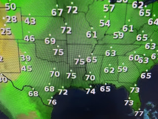
We remain on the outer edge of the "ring of fire" today, but as Hannah Gard shoed us this morning, computer models are building the upper heat dome over Mexico & Texas back over us next week. By Thursday & Friday it's parked right over us.
That means our rain chances go to near zero allowing highs to flirt with records/100s by late week.
The old frontal boundary is allowing some storms to trigger this PM.
If your lucky to get a under a storm you cool off some. Otherwise, it's June heat. Stay tuned!


No comments:
Post a Comment