


Tropical Storm Franklin has formed over the eastern Caribbean and is expected to grow into a hurricane next week. Fortunately, he is expected to take a path away from the U.S., but Haiti & the Dominican Republic could be drenched with heavy rains. Soooo, we're back to the Gulf where Gert is trying to form.


Unlike the IR Color view of Franklin, the Gulf system has yet to see the reds/oranges cluster together. Models are not bullish on development, but it sure looks like something is tying to organize. NHC has scheduled a recon aircraft for Monday PM. Finally, we all have seen or heard about Hilary bringing rains to California.
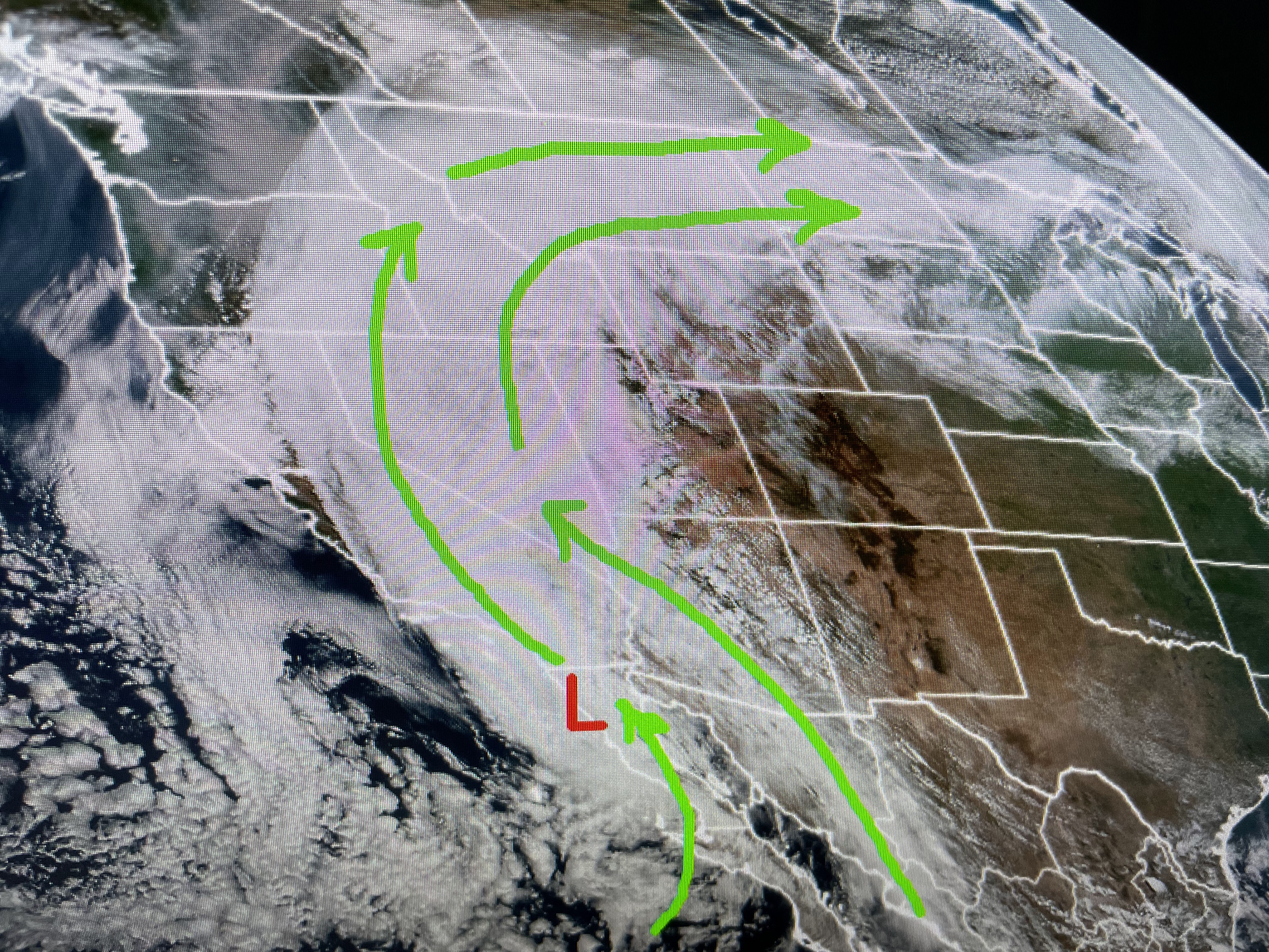

It almost looks like a winter time atmospheric river of moisture from California streaming into Montana. Hilary is no longer a wind threat, but the heavy rain issues continue. This are welcomed rains for a good part of the western states.


As the tropical wave/Gert passes to our south on Monday, that's the only day for any cooling shower relief. The deep Gulf moisture has surged all the way into Michigan making many up north feel like us. Does misery love company?


A couple of coastal showers have formed, but most will stay south of NOLA. We're back in the oven for the rest of this week as more record highs will fall. What will it take to break the upper heat dome? Nah, not going there. Heat vs Hurricane? Not even close. Stay tuned for Gert tomorrow.

No comments:
Post a Comment