


Satellite views confirm no showers from Houston to Panama City. The only storms are north of the coast moving to the SE, not our way.


The upper heat dome remains locked in place with a storm track (green arrows) showing the "ring of fire" pattern. Notice the surge of 70+ dew points (very humid) all the way into Kansas, Missouri, Tennessee to South Carolina. That's the boundary where heavy, flooding rains have been occurring. When will that pattern change?


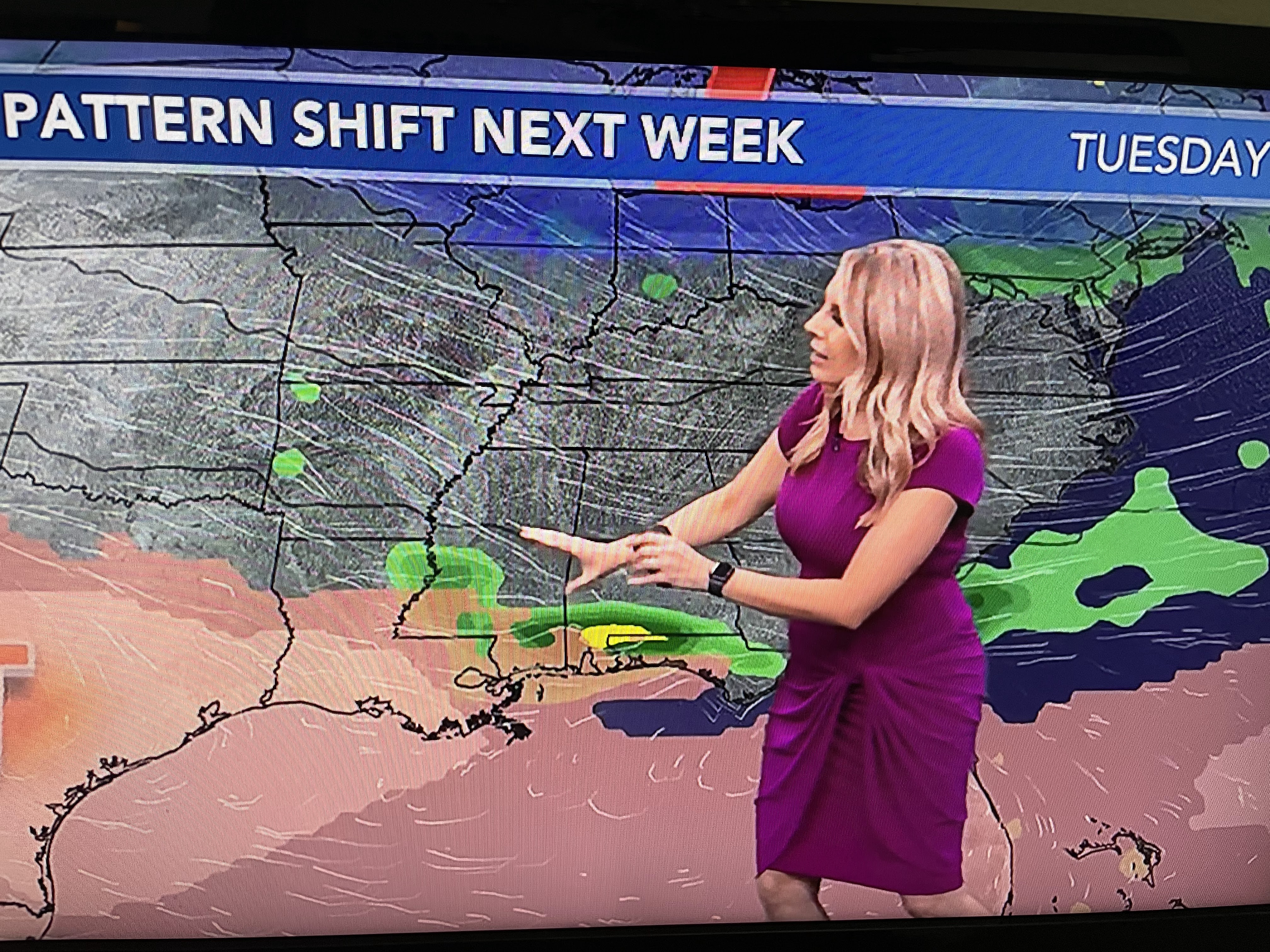
Amber Wheeler on FOX 8 at noon showed changes coming for next week. It will be a slow process.


So instead of whining about the daily heat, here's some good news. Despite what all the experts are saying, (very active season) the Tropics are staying quiet .


Weak waves are coming off of Africa, but no model develops anything for the next 7-10 days. So my question to you is this. Would you rather have the blocking upper heat dome/high over us? Or do you want the high to weaken/move (as it will) and allow Tropical threats to come our way? I know, it's a tough call. Stay tuned!

No comments:
Post a Comment