
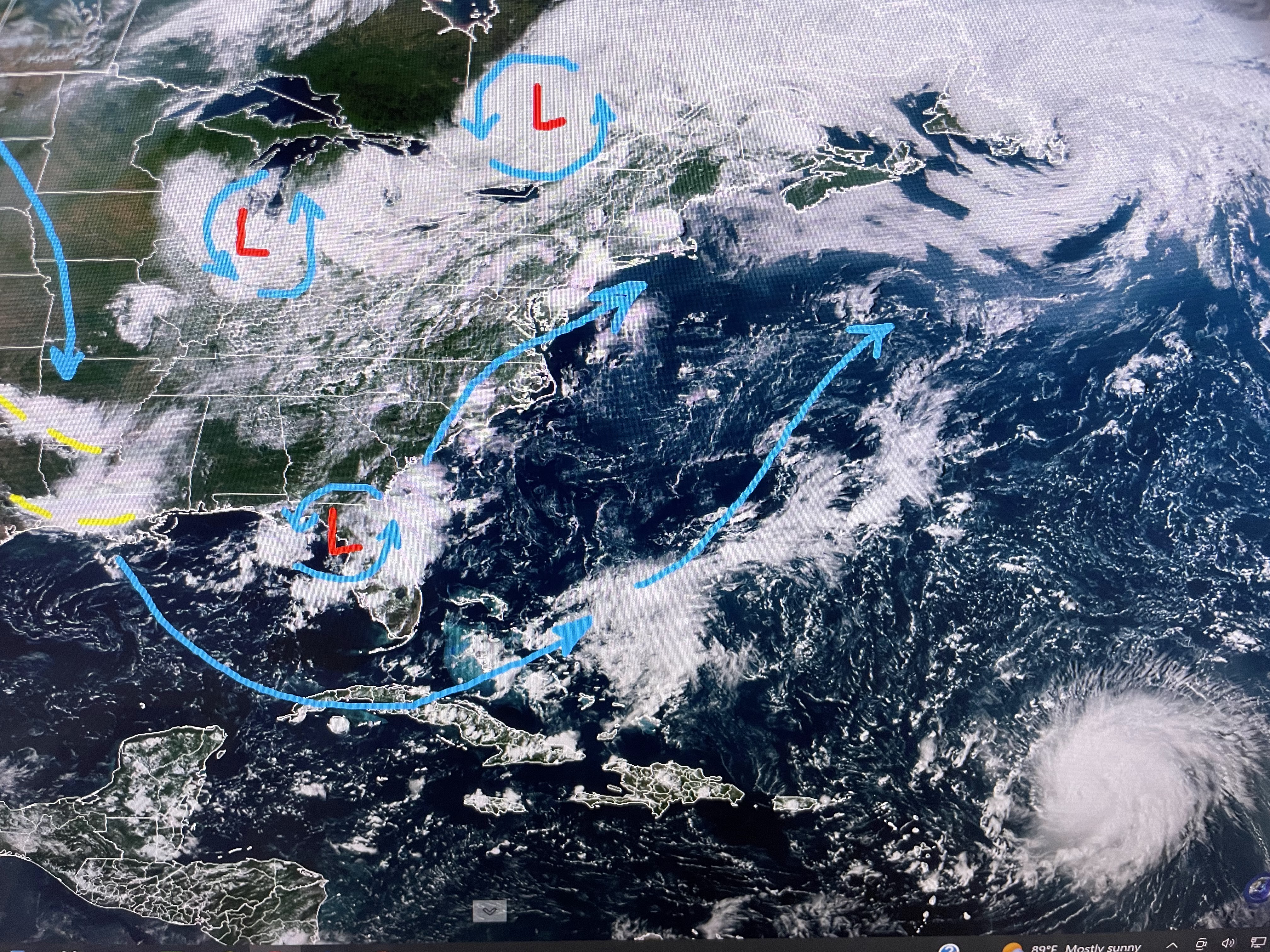

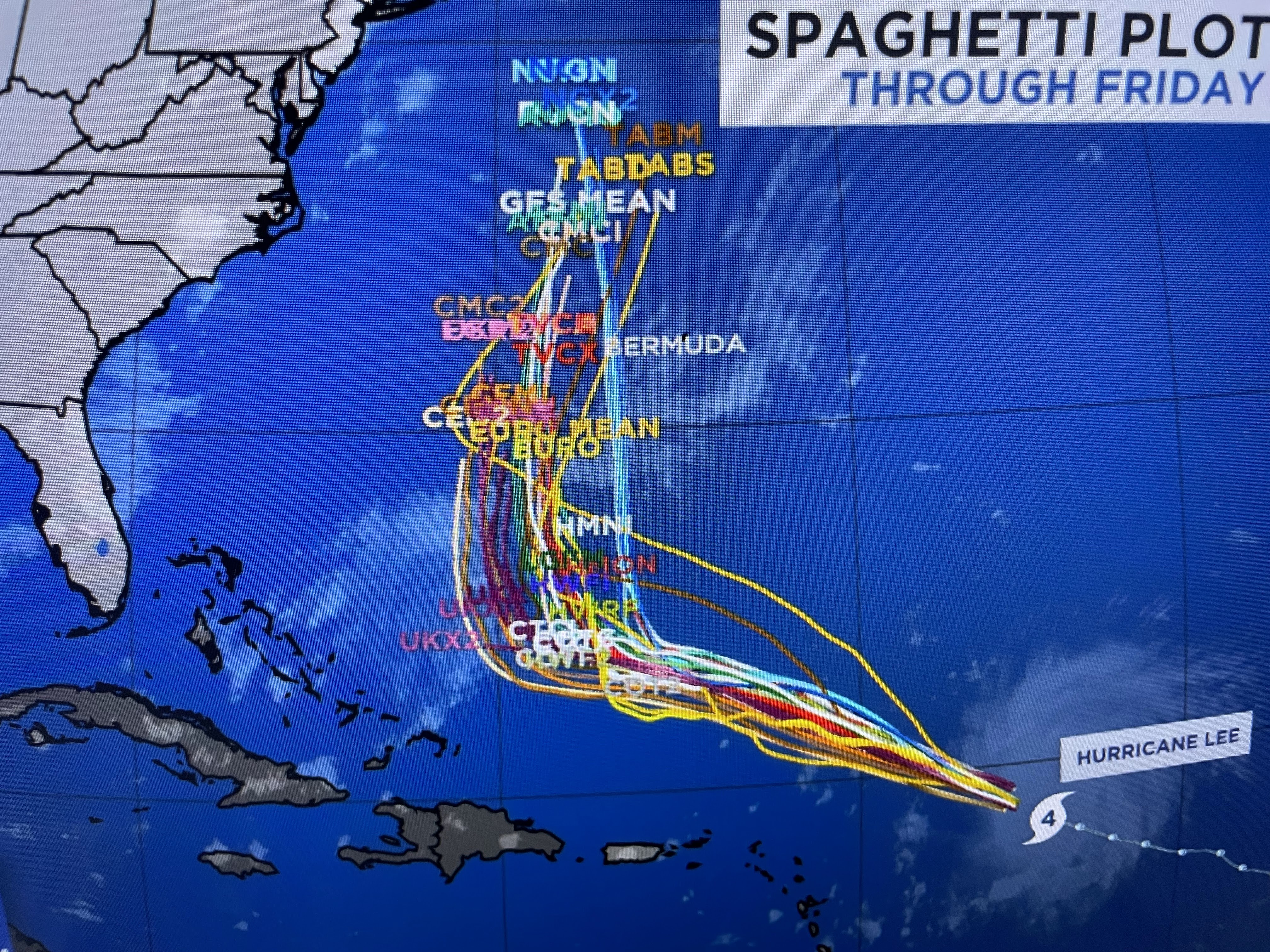

I've drawn the current upper wind flow on the satellite view, but this trough will lift out before Lee gets close. However, computer guidance indicates another impulse will dig down across the Great Lakes and East coast later next week turning Lee to the north. All the computer models/spaghetti plots show that. Here's the latest NHC track forecast.


There are other disturbances out in the Atlantic, but Lee is the only one to follow.
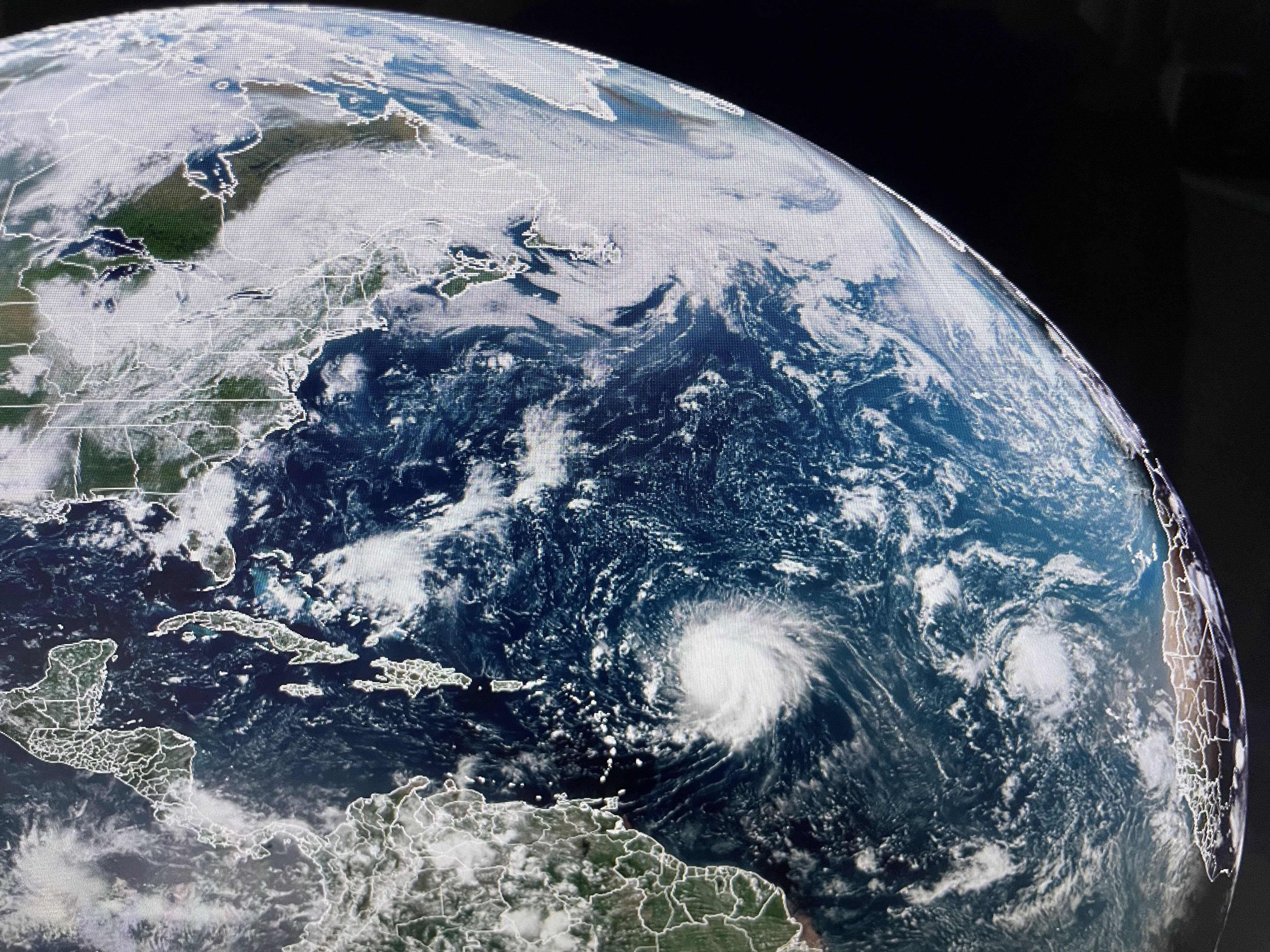


His satellite presentation is not as well defined as last night, but he could regain some structure/intensity again tonight. We will have to watch this storm for another 7-10 days.


Looking ahead, it is getting colder up north with sweaters and jackets required over the Great Lakes. However, there are no real cold fronts for at least another week. Note the lower dew points just to our north. We could get into drier air this weekend


So rather than whining about the lingering heat, let's be grateful that we have no tropical threats (according to computer models) for the next 10-14 days. That gets us closer to October! Finally,


If you have been watching any network media this summer (especially TWC), all they talk about is the extreme heat globally and across the United States.. Look at the above maps. The blue is below normal/average, the white near normal with the shades of oranges-reds above normal/average Note how the "extreme heat" is confined to 6 southern states with much of the nation below normal. Just wanted you to know. Enjoy your weekend & Go Green Wave, Tigers and Saints. Stay tuned!

No comments:
Post a Comment