


The NHC centerline track keeps Lee north of the Virgin islands & Puerto Rico, however, they get very close to the south side cone of error. Since it is expected to be so strong, any deviation of the track to the south would bring greater danger to them. Beyond that, most models turn the storm away from Florida & the Carolinas, but the GFS indicates it could threaten Long Island to Cape Cod.


I would not place much faith in the GFS forecast at 10-12 days as it is notoriously wrong beyond 5-7 days. However, since Lee is expected to be a major hurricane (classic doughnut hole look) , everyone along the East coast needs to pay attention next week.


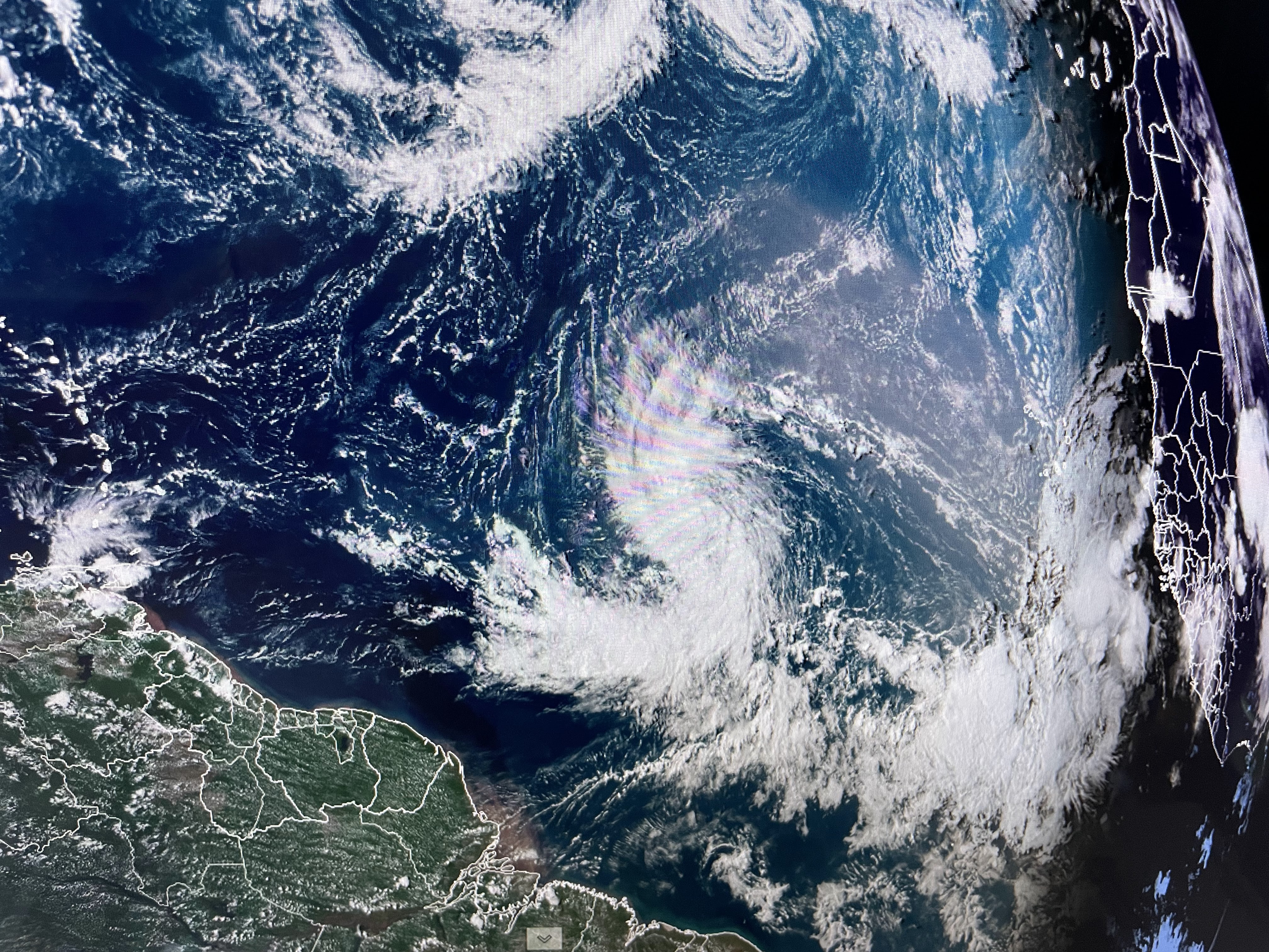
there are other robust waves coming off of Africa so I expect we'll be tracking multiple named storms next week. The Caribbean is quiet with a cluster of storms over the eastern Gulf. NHC doesn't seem concerned right now. All focus should be on soon to be Hurricane Lee.


The upper heat dome has settled back to our west as an upper east coast trough will bring cooler weather to the Great Lakes and Northeast. Hopefully we'll see a front sneak through over the coming weekend? For now, I'm excited to see 60s & 70s spreading eastward out of the Rockies.


Unlike yesterday, today's storms stayed to our west with 90+ heat returning.


I know it doesn't show it yet on the seven day outlook, but I'm hoping next week might get a little cooler than the 90s. Fall is coming! Stay tuned!

No comments:
Post a Comment