


It could have been worse (behind the tree), but I played it where it landed and fired off a dart back down the fairway. The analogy to weather is simple. We have to deal (play with) with whatever Mother Nature gives us. The past three months we have been lying in above normal/average temperatures despite heading towards October. We all are asking where's the cooler air? Let me show you.


Alaska & northern Canada are chilling into the 30s, but not so for southern Canada. Despite having a weak upper trough over the Great Lakes & East Coast, there's no cold air near us.


There is a surge of tropical moisture over the eastern Gulf & Florida, but we're staying mainly hot & mostly dry.


Unlike yesterday, all storms are staying to our west. Without rain, we're back to 90+.


I just don't see a real cold front coming in the next 7-10+ days. Without fronts or tropical disturbances, we stay mostly dry. There is a lot of disturbed weather/T-Storms over the western Caribbean & eastern Gulf/Florida.


That is more about a weak upper low interacting with a tropical wave. Since there is an upper High/Ridge over the surface system, that is favorable for development. However, no model does that for the next 7-10 days.


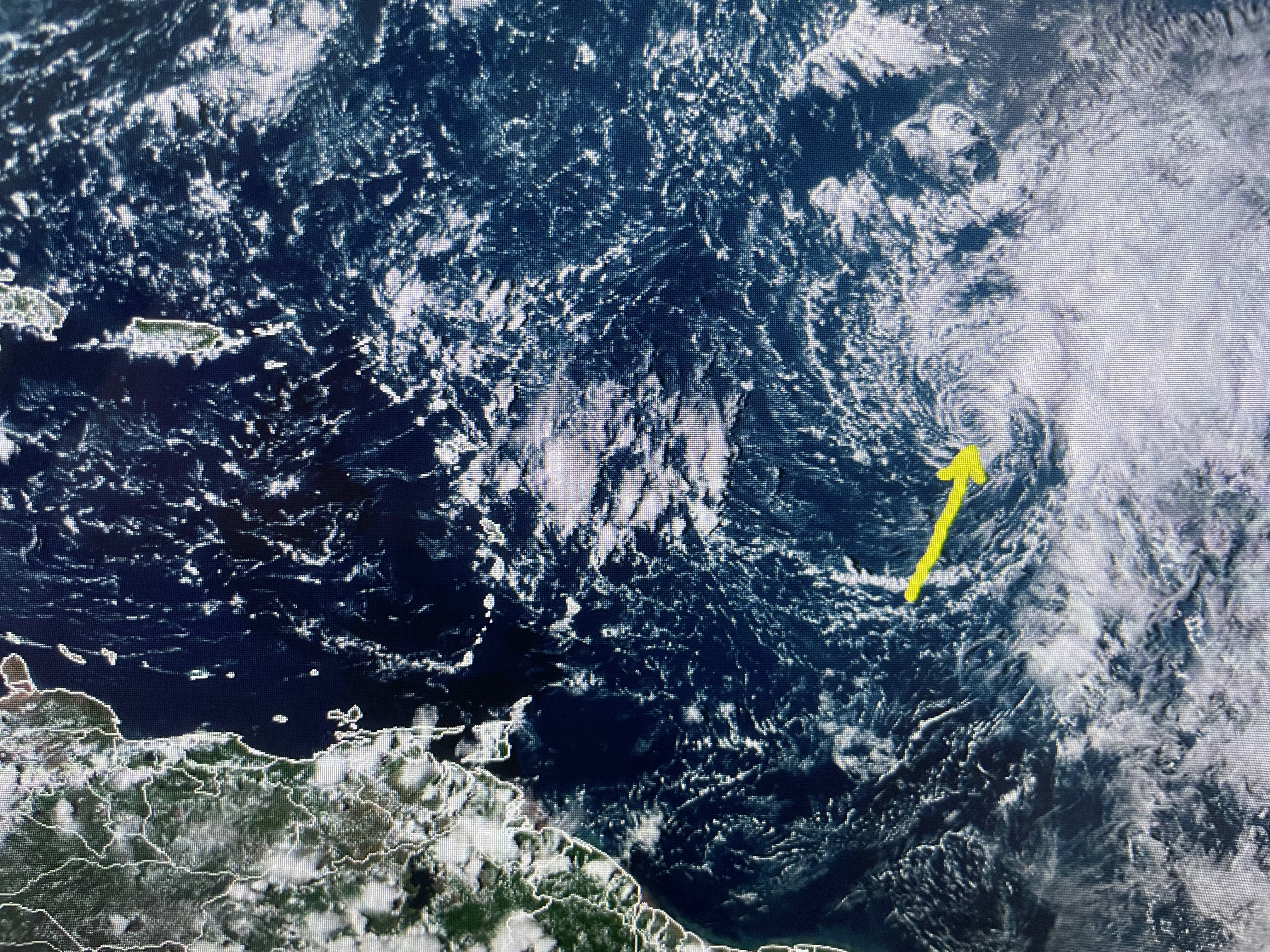
The only named system (Philippe) is struggling out in the Atlantic where westerly wind shear has exposed his center (yellow arrow). If we are to get a tropical threat during the next 3-4 weeks, it'll have to be close in as disturbances that form out in the Atlantic have been on a pattern of recurving to the north before reaching the U.S. Whatever, we'll play it as it lies! Fore! Stay tuned!

No comments:
Post a Comment