


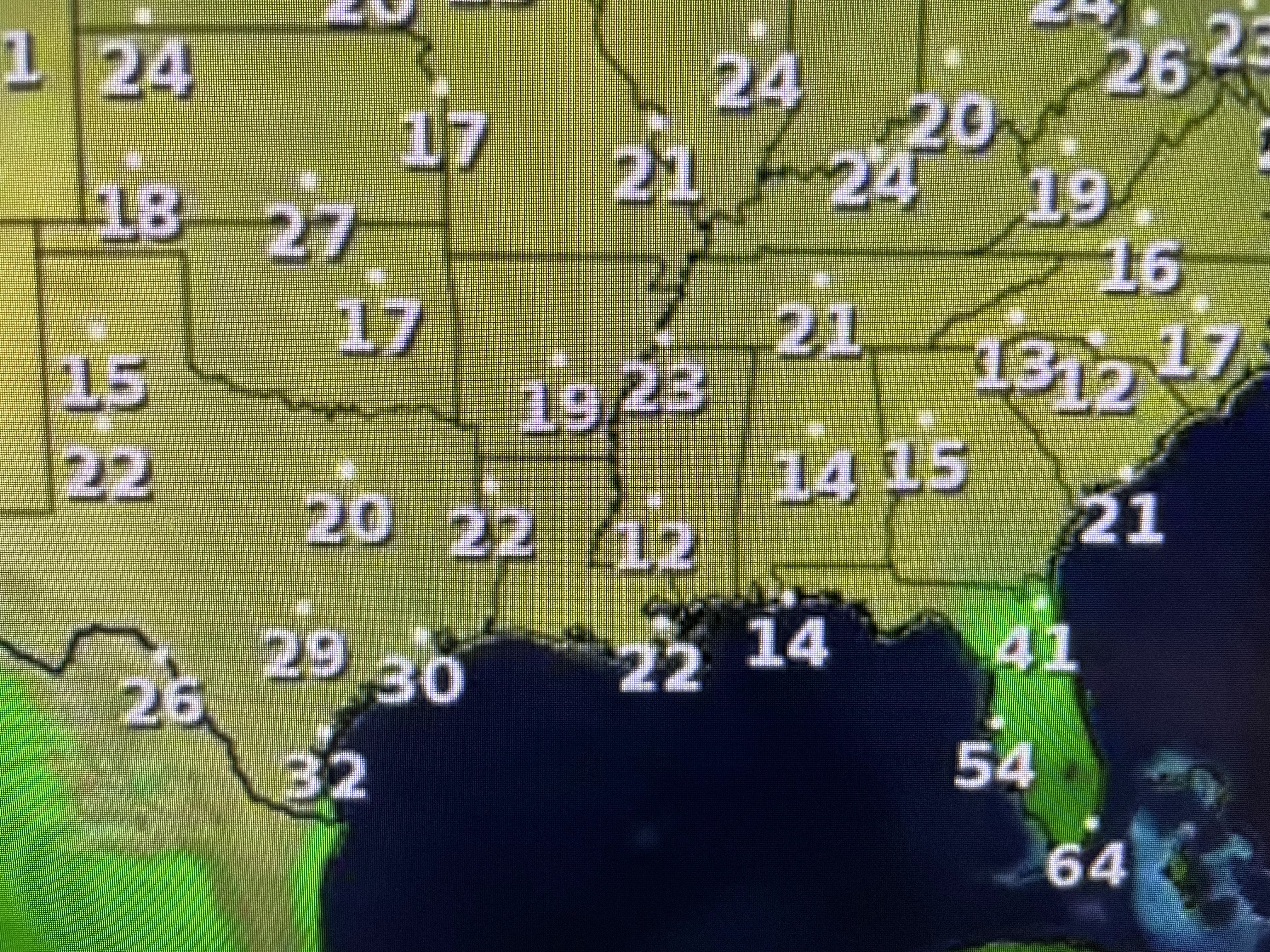
Currently, both sides of the Lake are about the same, but after dark, the North Shore will see temps plummet. Those brisk northerly winds coming across the 60+ degree waters of Lake P. will keep the South Shore generally in the 40s. Thursday begins a warming trend that will last into next week.


Today's flow across the nation has seen a returned back to a more zonal (west to east) flow. That will keep the Canadian chill up across the northern tier of states during the next 7=10 days.


NHC is still hinting that something might form down over the Caribbean later this week, but it can't come into the Gulf. Look how the cold air has push well offshore. That flow is carrying all the smoke plumes offshore for now.


As the return flow sets up for next week, we'll have to monitor those fires as daily fog chances will increase by Monday. Otherwise, put on a sweater or jacket and enjoy this Fall chill. Stay tuned!

No comments:
Post a Comment