

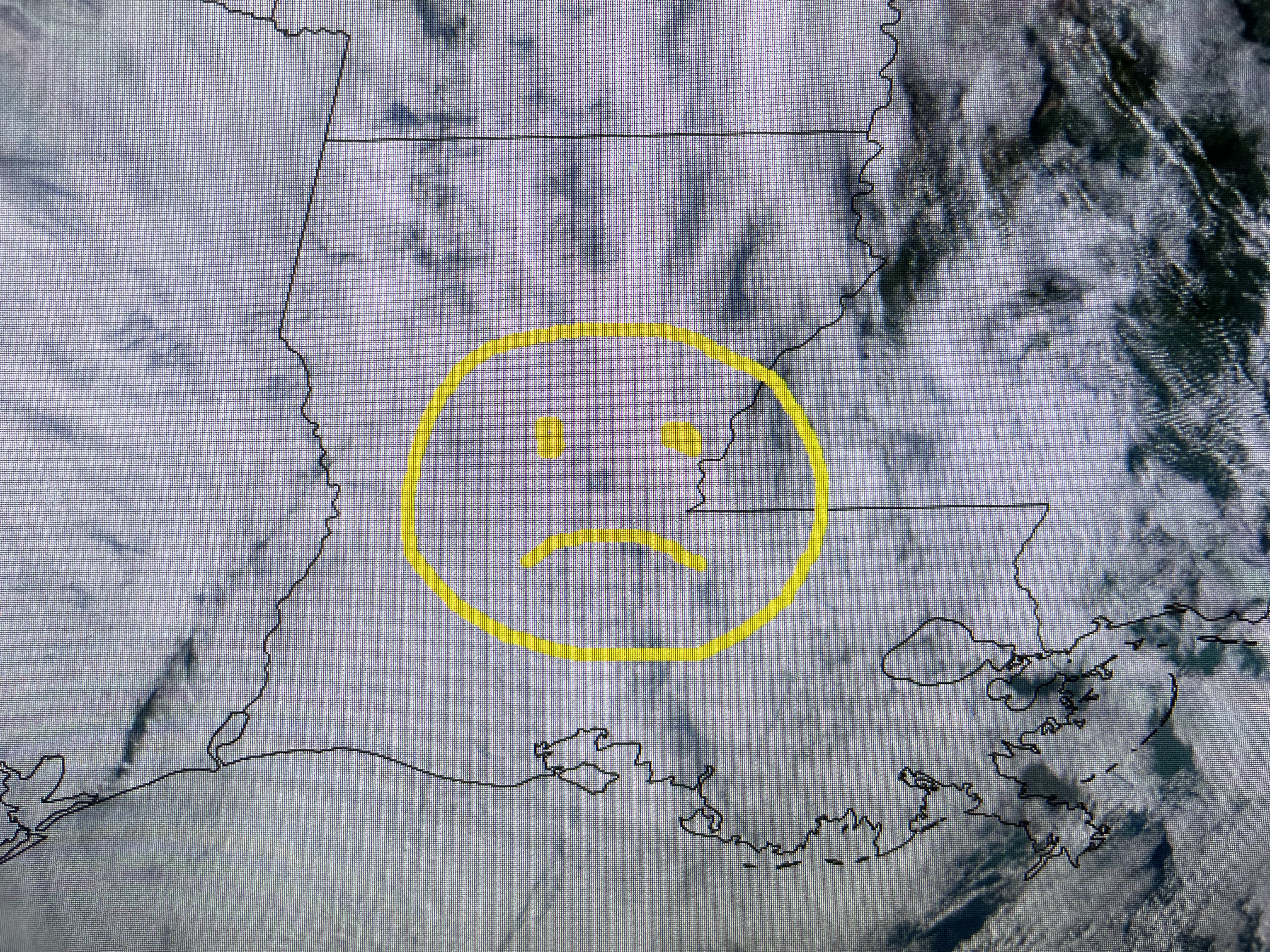
The top view was 3 PM yesterday with the bottom being from today. We have this low level cloud deck that is trapped across much of the South and might linger into parts of Friday. But we do have weather to talk about as south Florida overnight & this morning was hammered by near hurricane force wind gusts and 6-10" of rain. Watching The Weather Channel this morning and a fella said "I can't believe it wasn't a Tropical Storm". On radar, it sure looked like a tropical storm.


There was an obvious circulation (In fact multiple swirls) on radar, but why wasn't it named a Tropical Storm? 1) It was a "cold core" system as an upper trough was approaching from the west. That same trough brought us welcomed rains, but the surface low with it never developed over the cooler northern Gulf waters.

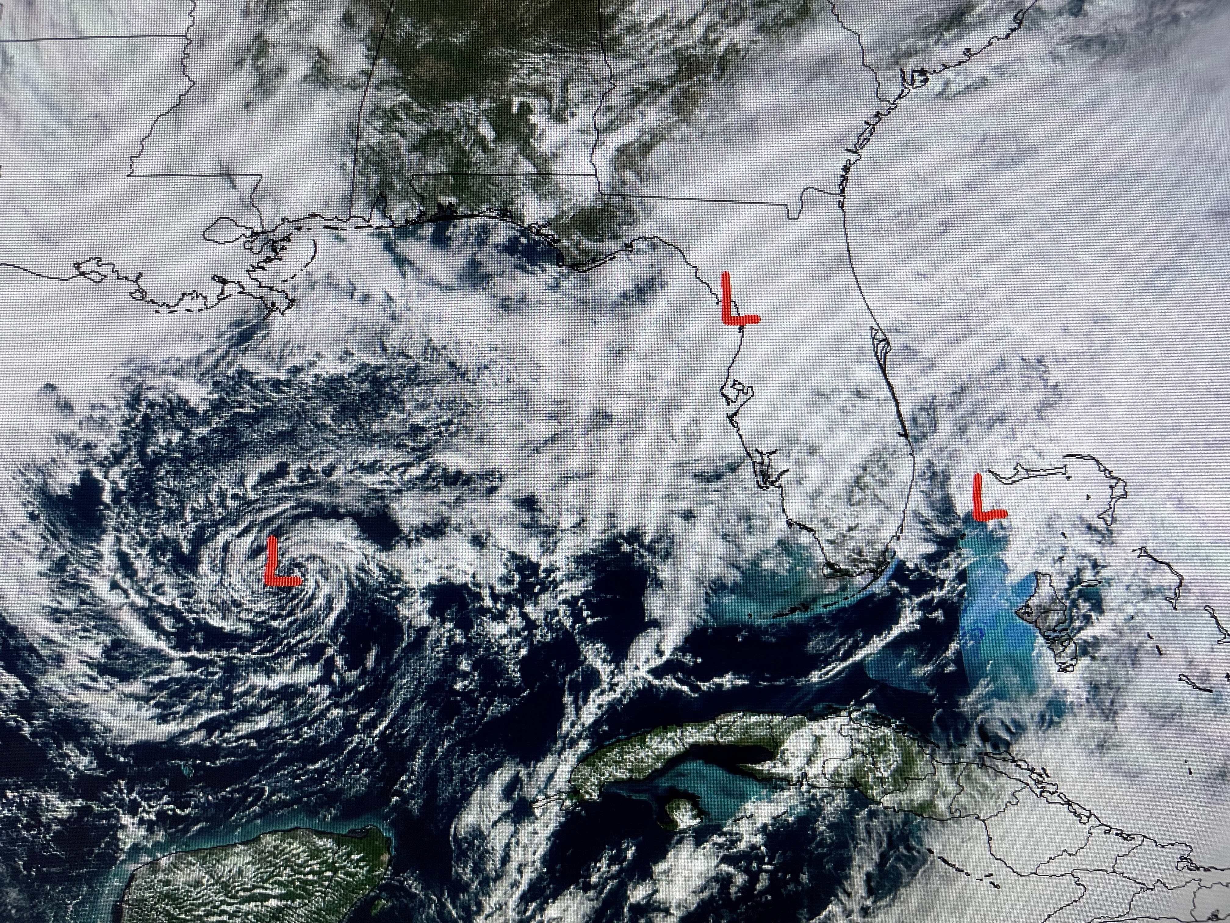


Another swirl was over Tampa Bay bringing needed rainfall to central & north Florida. So the impacts were like a tropical system, but it was caused by a cold core upper trough. That's what happens during the Winter over the Northeast. Bottom line, impacts are impacts whether cold or warm core. We do have a disturbance over the much warmer waters of the central Caribbean.that NHC expects to become Vince by tomorrow. I'm seeing a mid level swirl near Jamaica with a cluster of storms farther to the SW.


Despite the warm waters, upper winds do not appear favorable for much development. For now, NHC is calling this PTC (Potential Tropical Cyclone) # 22. The official track keeps it well east of the U.S. So what's the other big story? How about a cold Thanksgiving? there's plenty of cold over Canada.


But the current upper flow will not allow that chill to come southward until next week. I grabbed the bottom 2 graphics from Zack this morning indicating the western upper trough shifts over to the East coast bringing us a much cooler air mass. Just watched Nicondra and her newer graphics have the front stalling along our coast, which might keep us with a shower chance on Thanksgiving.


Since most of us will be inside on Thanksgiving, it should be no big deal.


In the short term, I just want to see some sunshine! Hopefully that'll happen during the day on Friday? Note, we reached the upper 60s without sunshine today. If we see any sun tomorrow, we should jump back to the mid 70s. The colder air is beginning to show up over the Northern Rockies & Plains. It's coming back Gang! Stay tuned!

No comments:
Post a Comment