


Clouds have increased and widespread showers are breaking out along and ahead of a slow moving cold front. That front will stall just to our south this weekend giving us the potential for 2-3" of rain during the next 7 days.


The main jet stream is over the northern tier of states, but the southern stream (sub-tropical jet) has become active as expected during an El Nino Winter. You can clearly see the 20-30 degree temperature contrast either side of the cold front. Of special; note is the near 70 dew points surging over Texas & western Louisiana. With deeper low level moisture colliding with the shallow colder air, conditions are se up for several days of over running rainfall.


Much of the extended period will depend on whether a surface low develops early next and brings the heavier rainfall over us as Amber Wheeler showed at 4 PM.

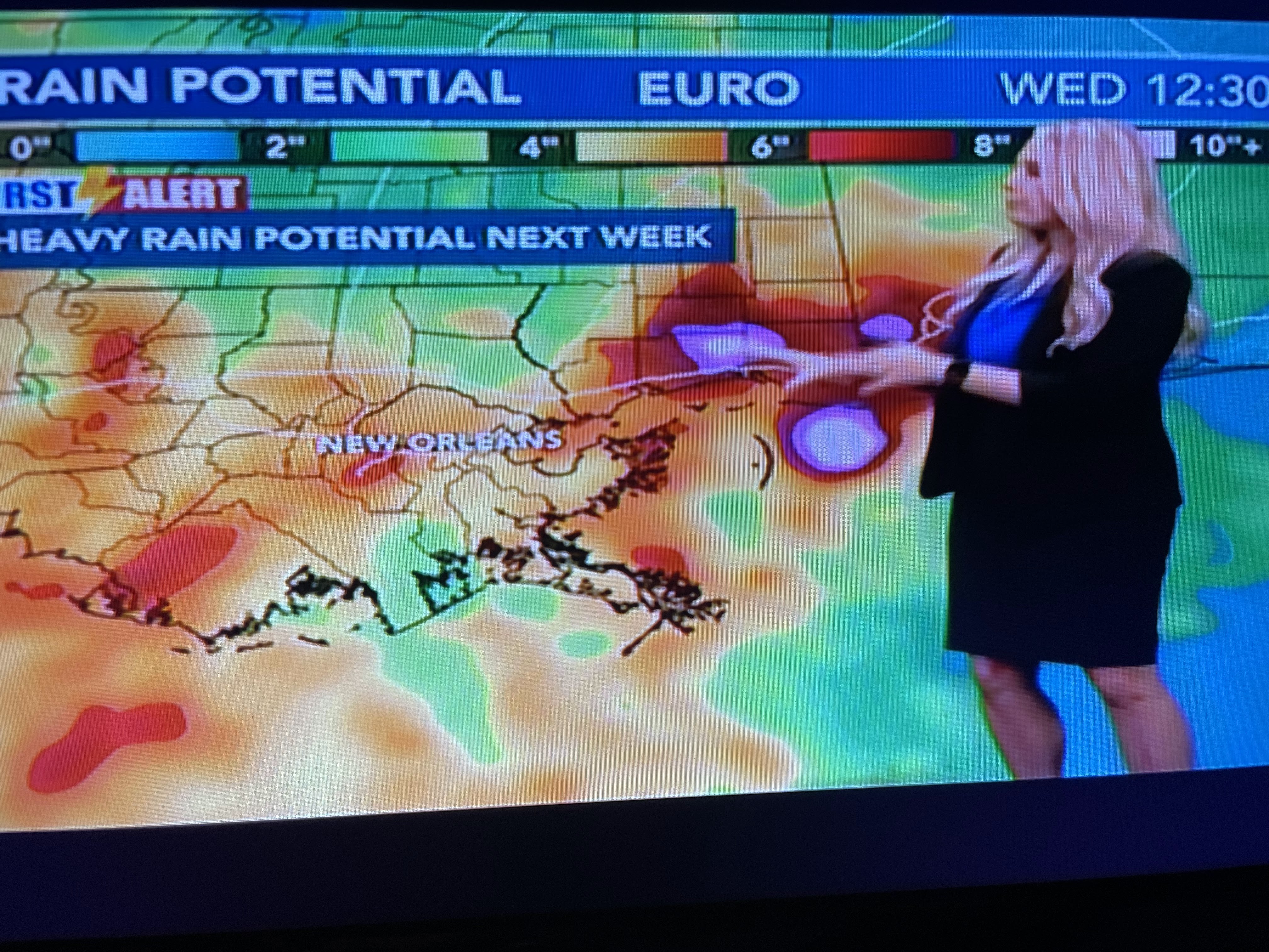

The European is indicating as much as 4-5" of rain over the next 7 days. That might be too aggressive. I'd be happy if we get 1-2" with another round coming Thanksgiving week. Whatever, the next week will not see much sun and noticeably cooler temperatures. After all, we're in Fall. Stay tuned!

No comments:
Post a Comment