


So let the rains begin and, if you believe in the models, we're going to see the most rainfall in over six months.


It won't be all at once with some coming this weekend, and as Amber Wheeler showed us at 4 PM, the heaviest will be with a Gulf low next Monday & Tuesday. That's when our highest rain chances arrive.


When is the last time you've seen 100% chance for rain? The next 7 days look cooler, but not cold as the main jet stream stays to our north and we remain under a Southwest (wet) upper flow.


The forecasting challenge will be the timing of the rain surges. One is coming this evening.


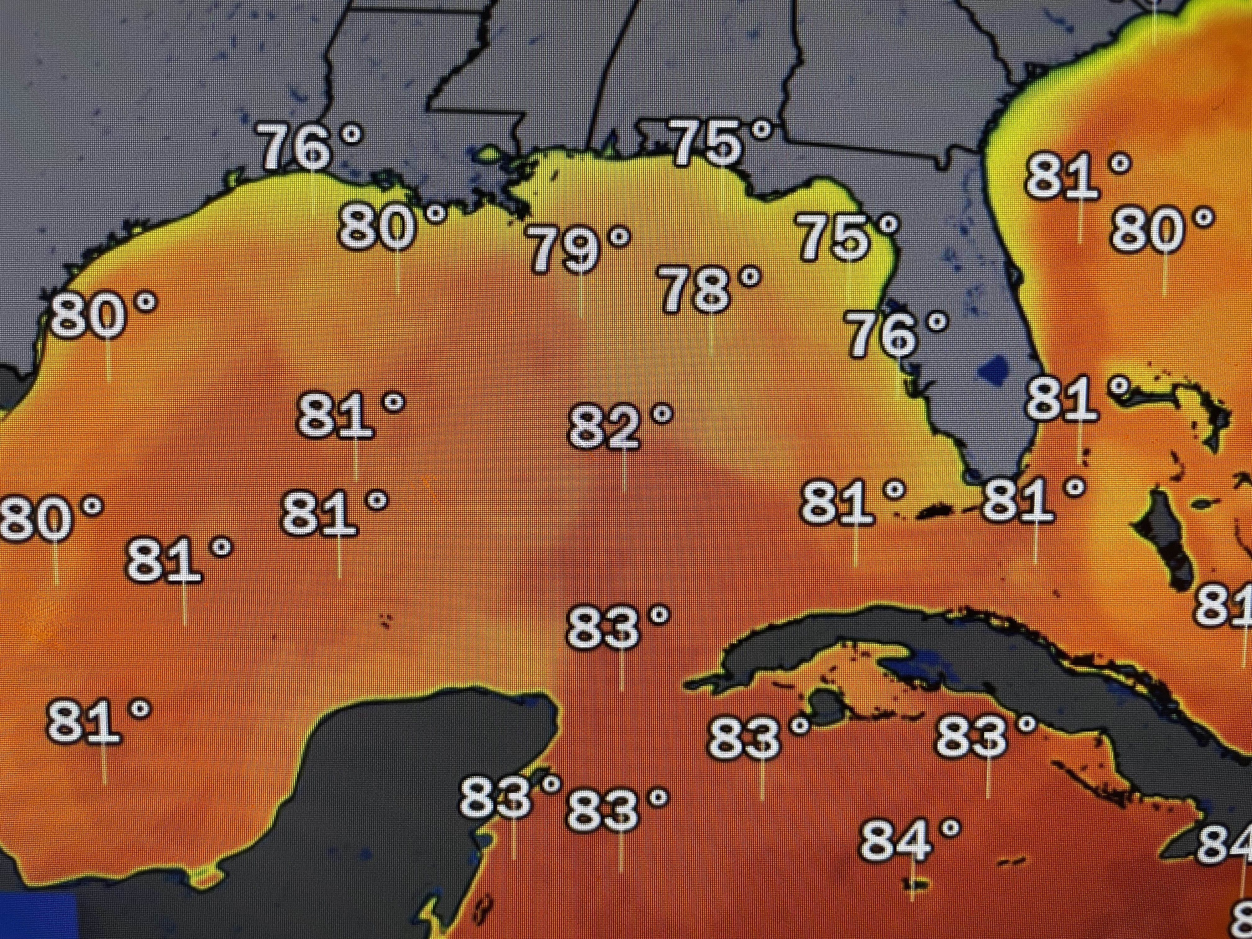
That system should pull away during the morning hours on Saturday so much of the day should be dry into Sunday. The real heavy rains hold off until Monday & Tuesday. NHC is still trying to get in one more named storm for next week. Water temperatures over the northern Gulf have cooled into the 70s and that SW upper flow will keep anything away from us.


Satellite views have nothing there yet, but computer models (especially the GFS) is forming a hurricane heading towards eastern Cuba.


The top graphic is valid for NEXT Friday with the bottom next Sunday. Note how whatever forms (Vince?) goes to the Northeast away from the Southeast U.S. Coasts. Finally...

Today is the Marine Corps 248th Birthday. Semper Fi! Saturday is the official Veterans Day that our nation designates to say THANK YOU to all who keep us safe. I salute all Veterans for your service. Stay tuned!

No comments:
Post a Comment