

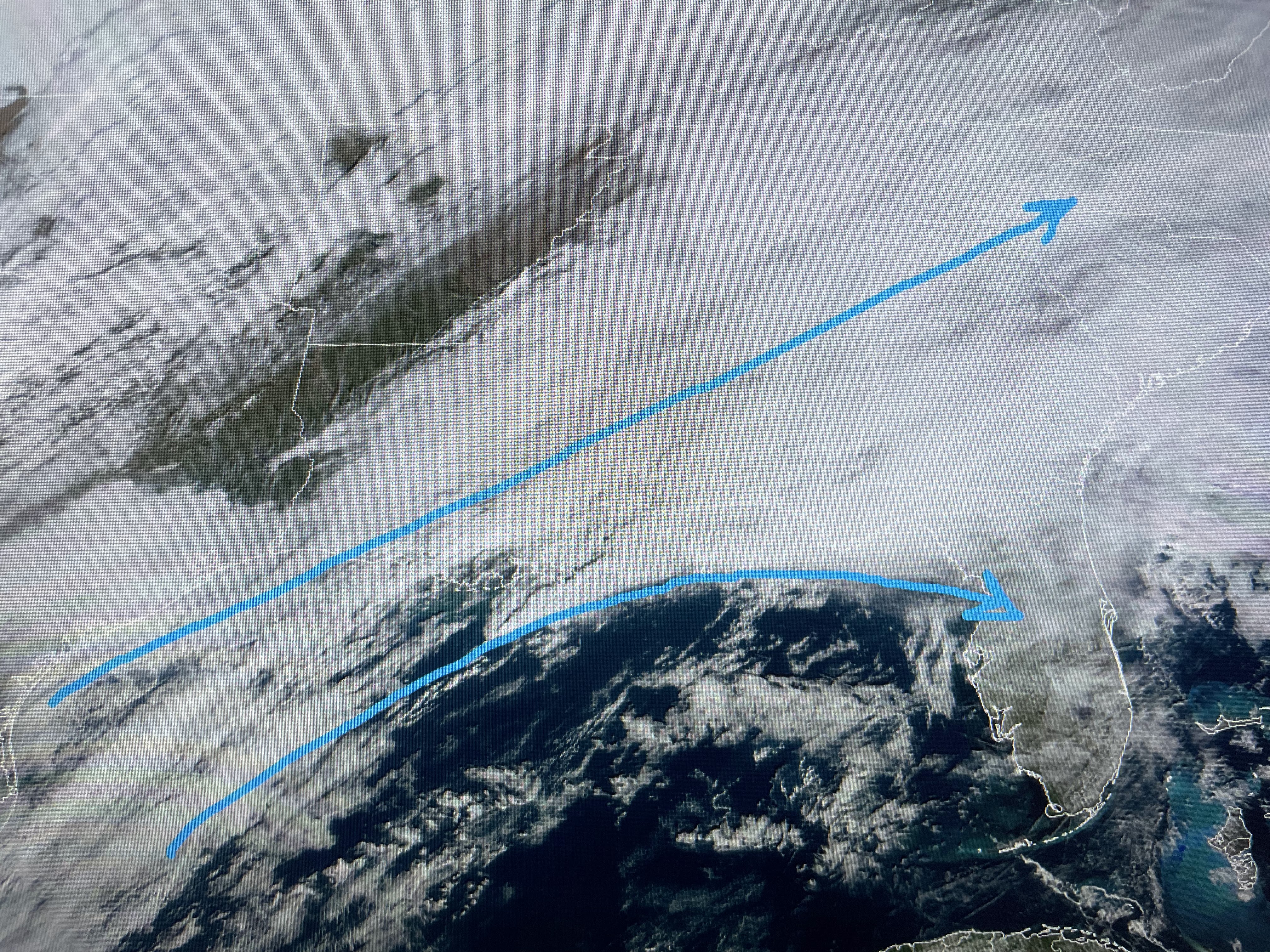


There is still one more upper disturbance back over Oklahoma & Texas, but once the trough gets to our east, we'll see drier air flow in for several days.

A cold front will stagger through overnight, but there is no real cold air behind it.


The core of the cold will stay to our north, but you'll notice a different feel to the air next week as humidity will be lower. You'll need sweaters & coats again.

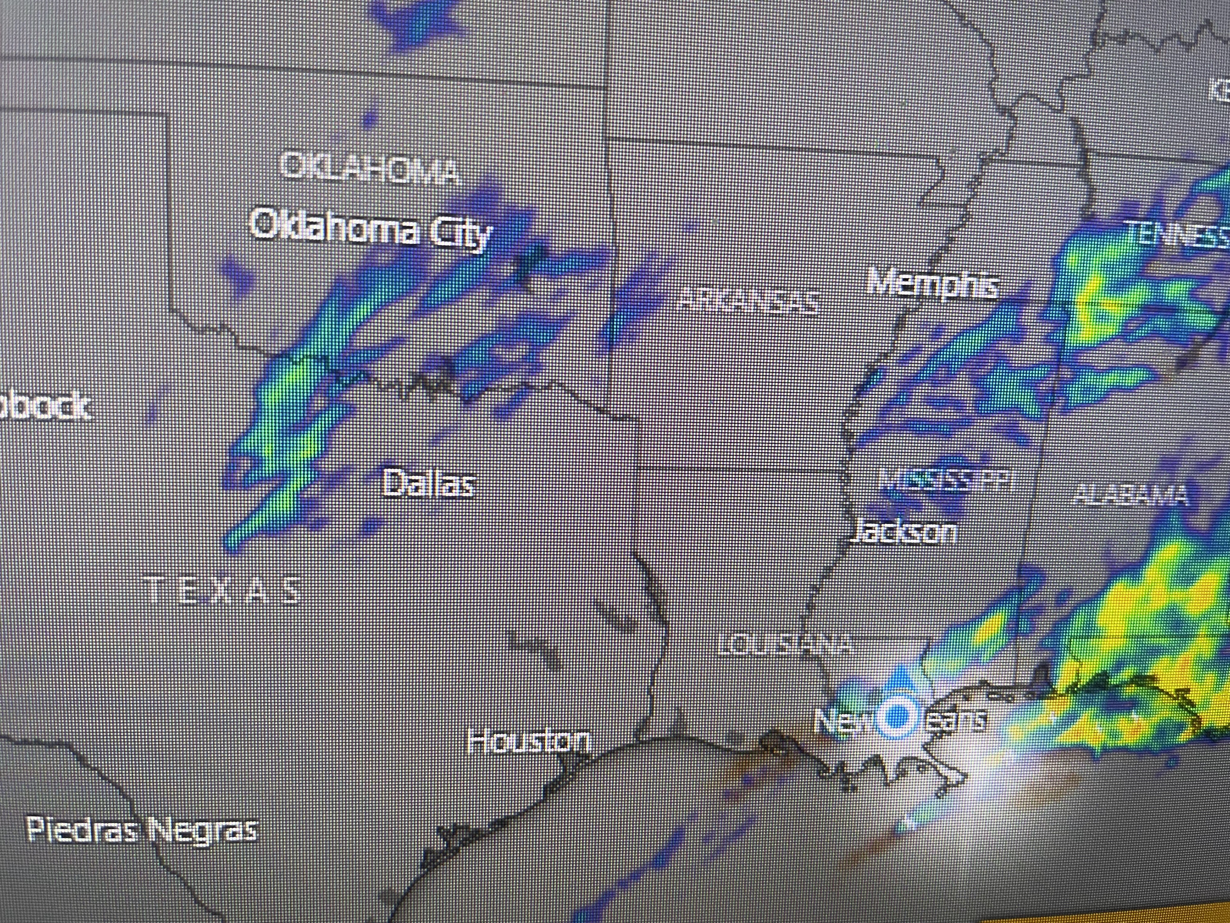
Finally, here's some graphics from Hannah Gard's morning programs. Yesterday's rainfall broke a record at MSY with another 2+" today. The rains since midnight were heaviest from City Park eastward, especially along the Mississippi Coast.


So, once the current line of storms is by us, much of this afternoon will just be cloudy, muggy with a Spring-like feel and an isolated shower. Hopefully, by Sunday afternoon we see some peeks of sunshine? Also, hopefully our Saints will perk up and tame the Lions? Saints 31 Lions 27. Who Dat! Next post tomorrow. Stay tuned!

No comments:
Post a Comment