


As this system moves up into New England, some colder air will filter down behind it for early this week. However, the really cold air (20-30 below) remains well up in Canada.

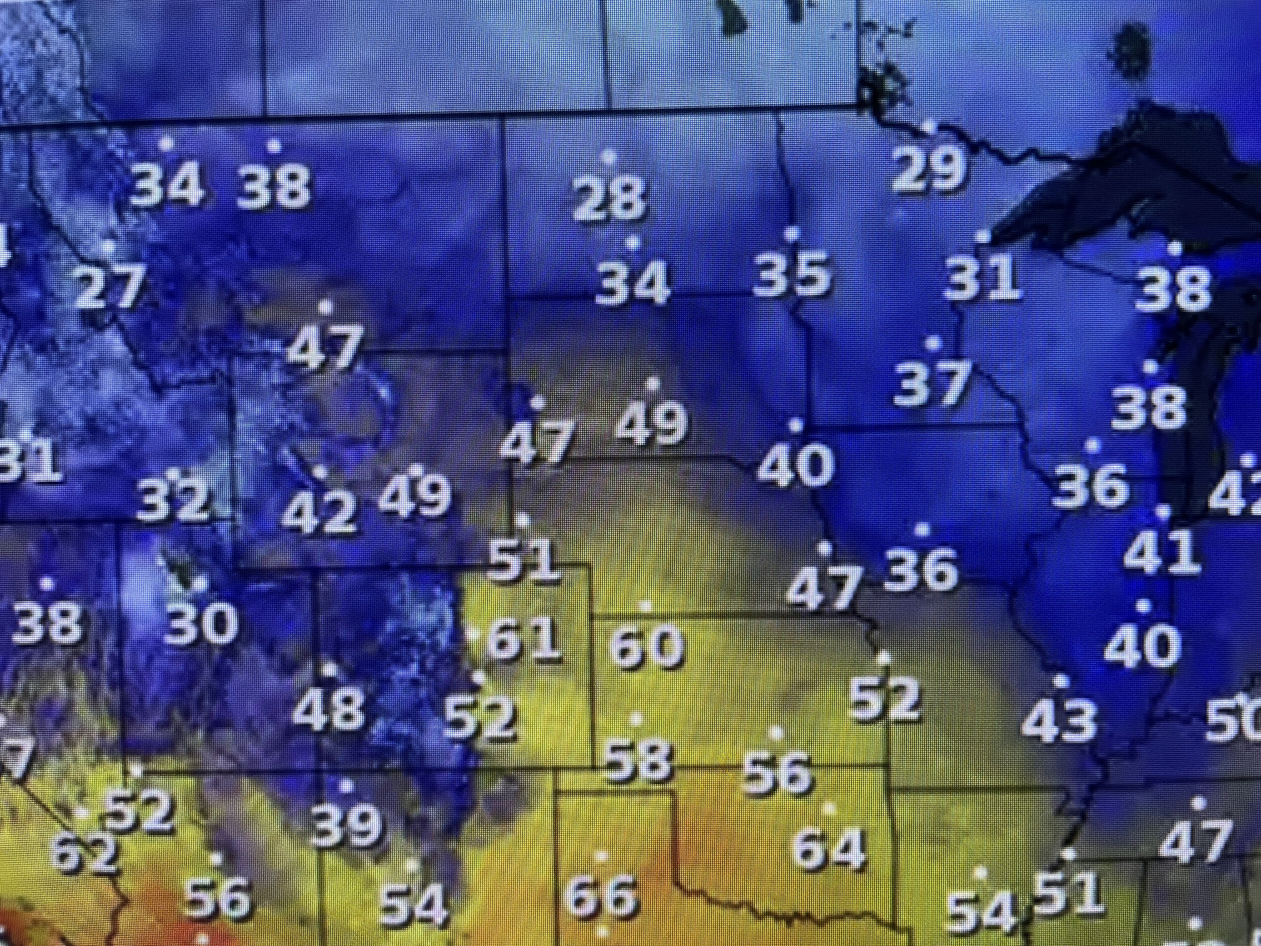

The super cold (40-50 below) continues to be over Russia & Siberia. There are signs that a pattern shift is coming over the next 10-14 days that will bring the lower 48 a much colder January.


What I'll be watching for is the eastern upper trough to become a "polar vortex" over the Great Lakes. IF that happens, then we have to be on guard for hard freezes across the South. That won't happen here until sometime next year.

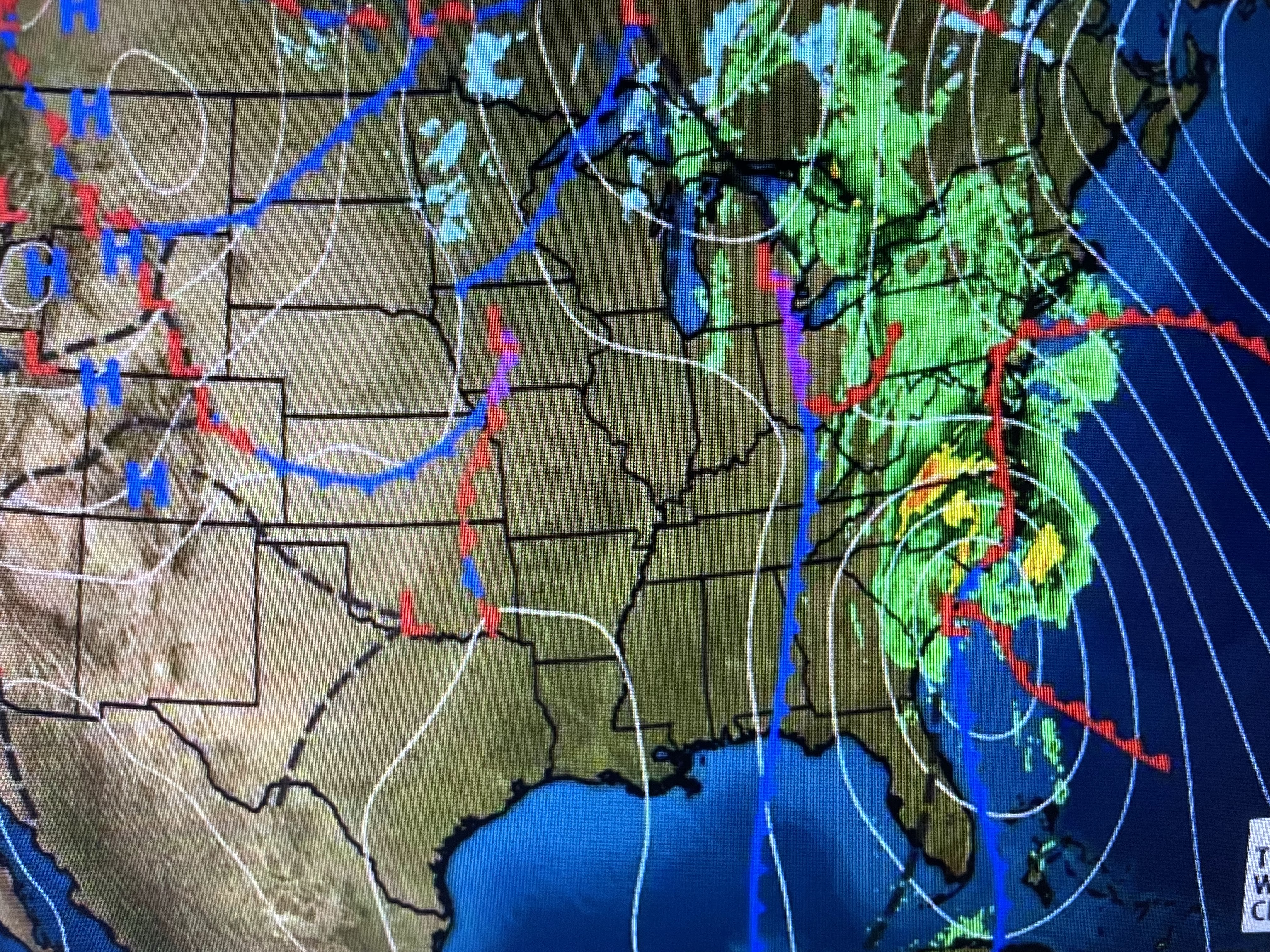

In the short tern, the next couple of days should be dry and comfortably cool as a new surge of colder air arrives here for tomorrow night. Our coldest mornings will be Tuesday & Wednesday when the far North Shore will approach freezing.


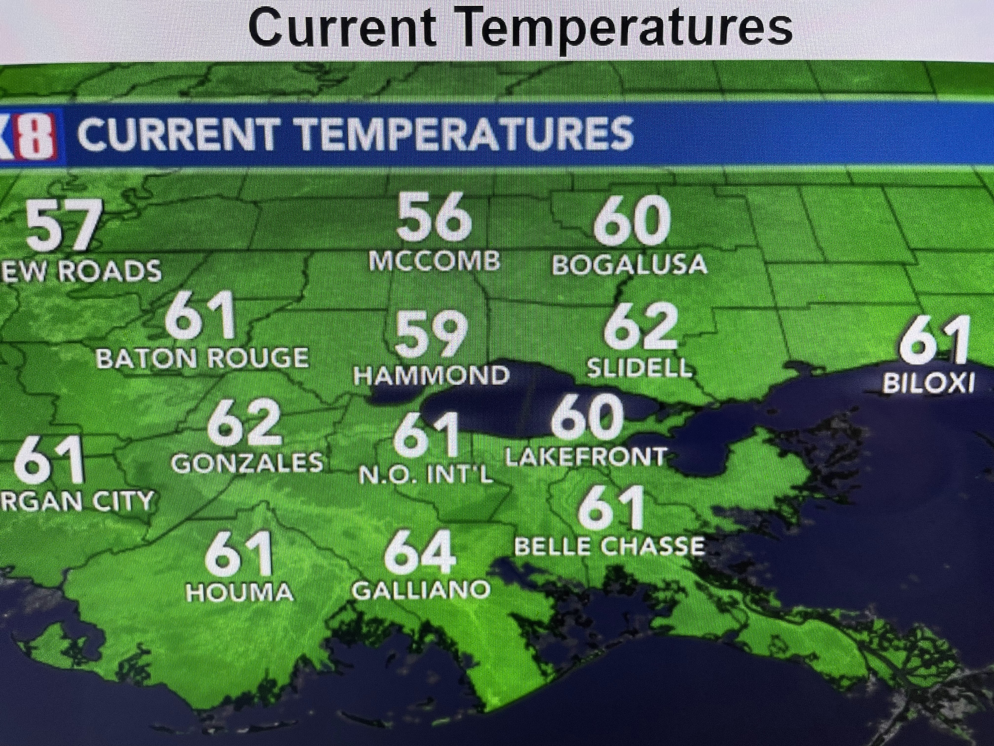
Seems like we are in a pattern where it's dry during the week with rain coming over the weekend. Our next system is heading into California today giving them a rainy Sunday. Not here as skies have cleared and temps topped 60+


So enjoy the sunshine tomorrow & a nice victory over the Giants. Who Dat! Let's remember it was the Giants and I'm not booking Super Bowl tickets just yet! Stay tuned!

No comments:
Post a Comment