


A strong cold front is pushing into our state and we'll be back to December reality tomorrow with a 30-35 degree temperature drop. Heavy coats will be required due to the strong northerly winds.


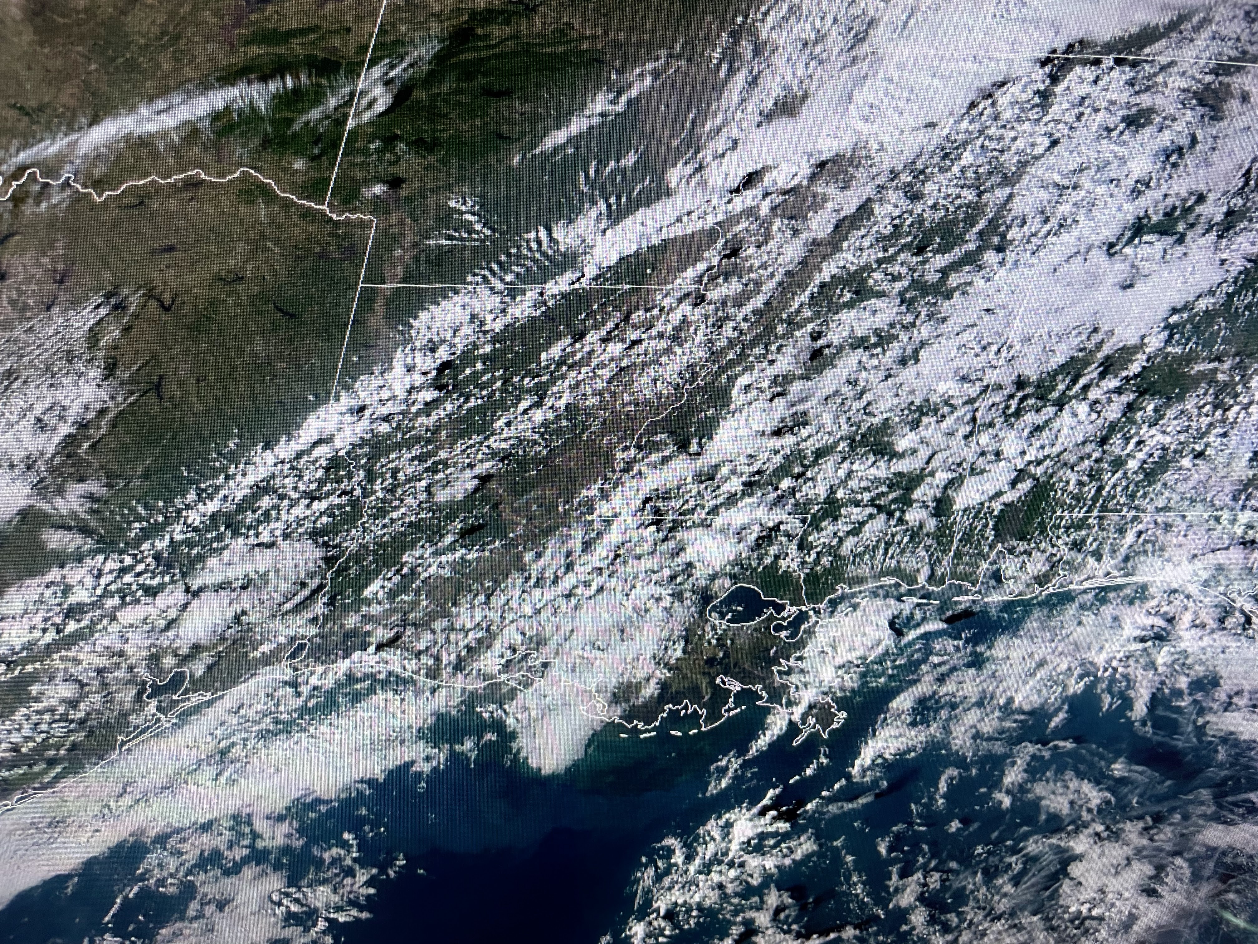
T-Storms are breaking out along the frontal boundary, but SPC has the severe threat bullseye well to our north. That's where they place all the Tornado Watches.


That doesn't mean the severe threat is zero for us. rather, it means our severe risk is very low. Perhaps we'll see some wind gusts to 40+ with the line around midnight so have your FOX 8 weather app ready to wake you up if any warnings are issued. Here's why the main severe threat is farther to the north.


I've drawn in orange where the upper jet stream is splitting enhancing low level lift. A limiting factor for us is the low level moisture (dew points) has stayed in the 60s and not 70+ like last weekend. So the bottom line is we'll see some brief heavy downpours later tonight with possible thunder, but let's hope for no severe storms.


The heavy rain potential is also very low and many us us will receive less than an inch.

The cooldown will be sharp with a light freeze for the North Shore Monday & Tuesday mornings. Hey, it's Christmas time and we'll finally feel like the season. Saints 34 Panthers 17. Who Dat! Stay tuned!

No comments:
Post a Comment