
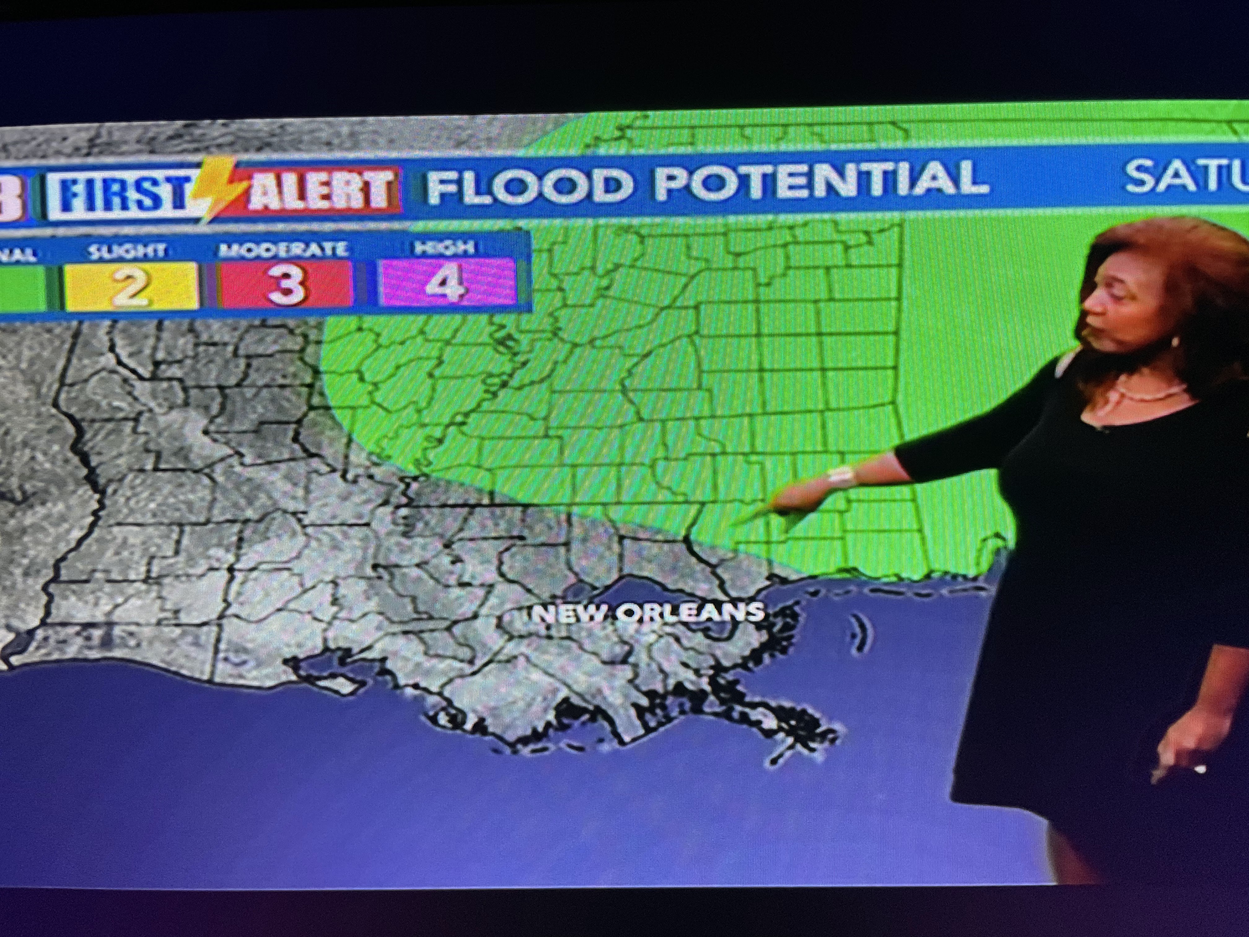


These upper air graphics will show you why the front will not stall & why any severe threat should be farther to our north.


The top upper air graphic is valid for Saturday evening with the main energy/low pressure centered over Wisconsin. The next graphic is valid for Sunday morning with the upper energy racing and opening up over the Great Lakes. But notice the sharp trough approaching from the west down by us. That trough races by us by Sunday PM resulting is driving a strong cold front through us. That fast movement will limit rain totals and SPC's severe threat on Saturday is more for north Louisiana into central Mississippi. It doesn't mean we can't get some wind gusts to 40-50+ mph, but the severe threat here is quite low. Here's the current set up.


The upper trough is over the Rockies with snow breaking out across Colorado. That low will race to the east/northeast on Saturday dragging a cold front on the back side.


Note Dallas is near 80 and dew points are surging into the 60s ahead of the front. Here's the timing.

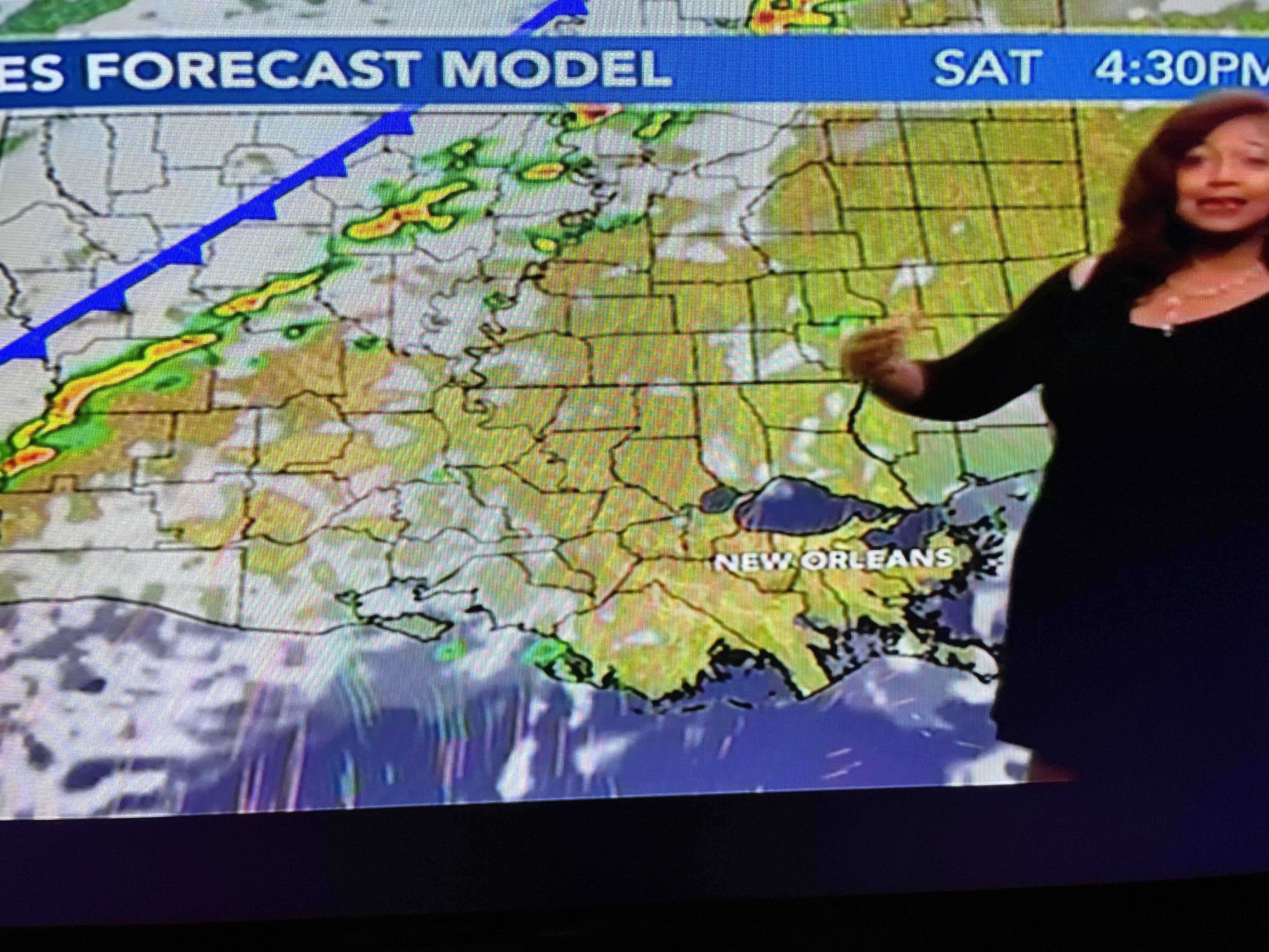


Most of Saturday will be warm & Spring-like with temps near 80+. The rain threat arrives around midnight and is gone before daybreak Sunday. But look at how much colder it will be.


This is not a whopper of a cold front as the core of the cold will stay to our north and east. But with the warm weather tomorrow, I'm going to get my yard ready for the coming cold. I'll drain all my hoses & put up the faucet covers to protect my pipes from freezing. I'm also going to identify which potted plants I want to try & save this winter.


Satellite views did find a couple of taller cloud tops around Natchez and we have seen a couple of brief showers today. The main threat for rain comes after dark on Saturday. Enjoy your weekend and be ready for the roller coaster temperature ride. Stay tuned!

No comments:
Post a Comment