


Look at all the 50 & 60+ degree warmth over the eastern states. Heck, even International Falls & Bangor are above freezing. Until the upper pattern changes, expect the East to stay warm & the West chilly. It's plenty cold over northern Canada, but that chill won't come into the U.S. until the upper trough forms along the eastern states. Even then, the core of the cold stays well to our north.


That's down the road. Let's focus on this weekend. Note where the split in the upper flow is occurring. Right over the eastern Gulf where models keep telling us a strong surface low will form.


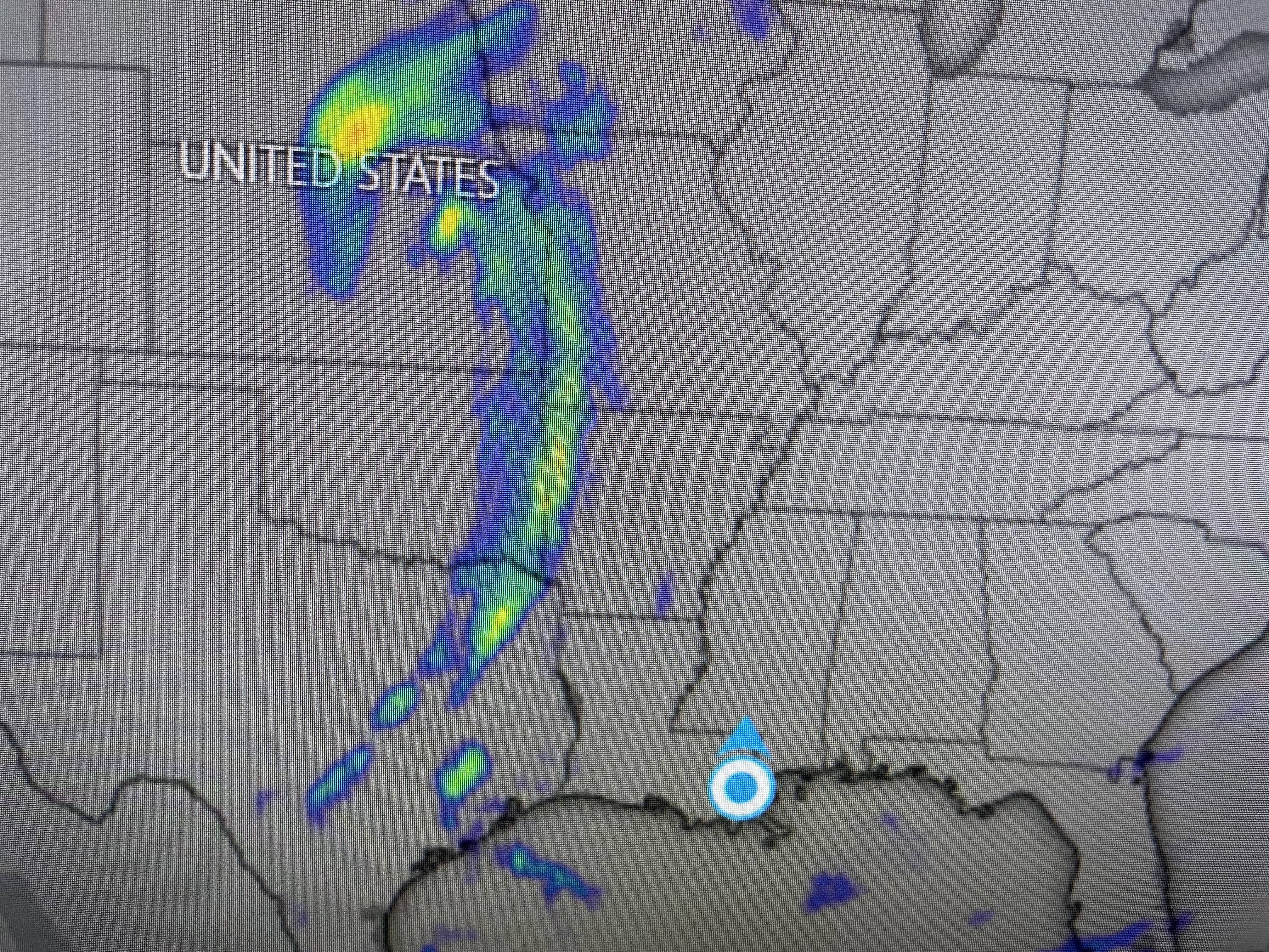
Rain is surging into the SE Gulf while a cold front is triggering some showers to our west. Here's the computer guidance on the timing. So far, a well defined surface low in the Gulf isn't there yet.


The top graphic is valid for Saturday midday with the next two valid for Saturday evening & Sunday morning. IF you believe in the model, the surface low doesn't really get cranking until late Sunday as it heads up the East coast. This forecast position is farther to the east compared to yesterday.

Consequently, the Weather Prediction Center has shifted the heaviest rainfall farther to the east with much of Florida receiving 3-5"+. Our rain will not come from the Gulf low, but it will be the showers ahead of the weak cold front.


Today saw a lot of sunshine allowing our temps to reach the mid to upper 60s. Those 50s next Tuesday happen behind a secondary surge of colder air following the big storm going up the East coast this weekend. As I mentioned yesterday, I don't see any freezes coming to the South Shore through Christmas Day. Usually, when the weather is mild (above normal/average) in December, it flip flops and turns cold and snowy in January. I'm just trying to give you snow geeks some hope! White Christmas? Head out West. Stay tuned!

No comments:
Post a Comment