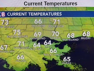
Yesterday's weak frontal boundary has about washed out leaving behind low level moisture and light winds that should result in another foggy start on Sunday. NWS has a dense fog advisory for after midnight tonight into Sunday morning.
You can see how the Spring-like warmth is surging across the Plains with 80+ degrees into Oklahoma & Kansas. IF we can break through the early low clouds tomorrow, our highs will bounce into the mid to upper 70s.
Since the southern sub-tropical jet stream is expected to remain active, look for several disturbances to work around the stalled upper trough off the West coast. That will bring us rain chances again late Monday into Tuesday and again on Friday.
After a good soaking Thursday night into Friday, we really don't need any more rain for awhile. However, The Weather Prediction Center (WPC) has 1-3" expected over us for Monday-Tuesday (top graphic) with another 1-3" on Friday bringing total rainfall for us between 3-5+" (bottom graphic).
I do see several cold fronts coming after March 10th through the 20th, but none of them should bring down a freeze threat. Time to plant those tomatoes! Stay tuned!


No comments:
Post a Comment