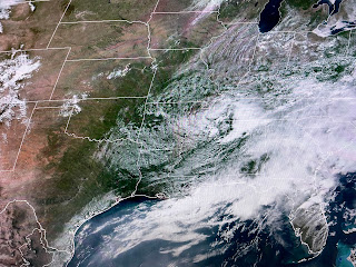
Notice how it heats up back over Texas. Get ready to flirt with 90+ as we dry out. Storms linger just along our coast. It is not a great beach weekend!
So why will we finally dry out this coming week. Look at the upper air pattern.
The next upper low over las Vegas is far weaker and will head more to the north across the Central Plains. The bottom graphic is the SPC's severe outlook for Sunday. That's where it will stay for several days as the storm track shifts farther to our north.
We're approaching the time of the year where the 7 day becomes less useful. We know every day will be hot & humid. The only day to day difference will be the rain chances, and that's had to forecast once fronts stop coming. Finally,
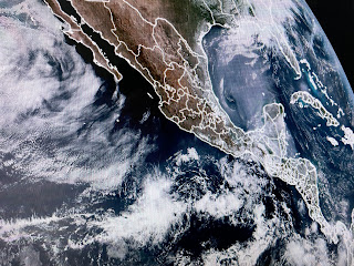
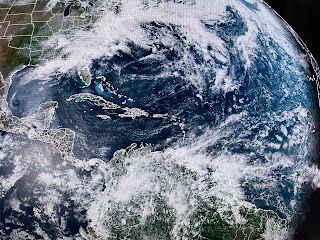
The eastern Pacific (EPAC) hurricane season started May 15th. Despite NHC trying to get something going, all is quite. Same with the Atlantic with the only thing to point out is the smoke plume coming off the yucatan into the western Gulf. For now, that smoke is remaining offshore. Enjoy the coming heat. You know the local weathercasters will tell you how hot it feels Stay tuned!


No comments:
Post a Comment