The next graphic is for today followed by Sunday morning, Tuesday morning, Thursday morning with the last being valid for the following Sunday. Can you see that the upper high gets flattened by the eastern trough. Here's what that means for our forecast.
We stay dry through Monday, but rain chances begin returning next week as the colder air aloft should allow some daytime heating storms to form. But not in the short term.
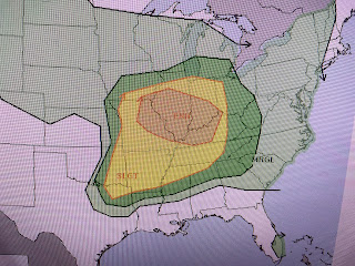
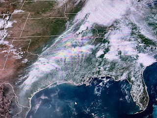
That cold front over TX/OK/KS will stall and become the boundary for another active day for severe storms on Saturday. SPC's Saturday outlook is sounding the alarm with a level 4 severe risk that shifts into the Ohio Valley on Sunday.
Fortunately for us, all the action will remain away to our west and north as it is today.
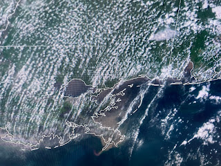
The bottom view points out the dry line (yellow arrows) that is often the trigger for strong storms.
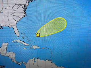
So since out weather will stay the same for another 2-3 days, let's look at the Tropics. That little swirl bearing South America is still there. NHC doesn't even mention it. The feature east of the Bahamas is given a low (10%) chance to develop. Since it's moving farther away from any land, it would be a shame to waste a name on it.
So I'm going to have my afternoon cocktail (vodka tonic, lemon twist, splash of cranberry juice), sit on my back patio, watch my bird feeders and enjoy this life. You enjoy your weekend and stay tuned!


No comments:
Post a Comment