


Yesterday Dallas' dew point had dropped to 51. Today it's back above 70+. For today, the severe threat is well to our north as outlined by SPC with a level 4 risk from Missouri into Tennessee. Numerous tornado watches (redboxes) & Severe T-Storm Watches (blue box) have been issued.


SPC shifts the threat farther to the south for Thursday bringing a level 2 (yellow) severe risk to the North Shore. For right now, all of the current storms are heading to the east.


But the bottom graphic is the 5 day rainfall forecast with a 3-5" path stretching from Texas into LA/MS. We will need to pay attention late Thursday into early Friday as storms near us. Here's the NWS frontal forecast beginning with Thursday PM followed by Friday morning.


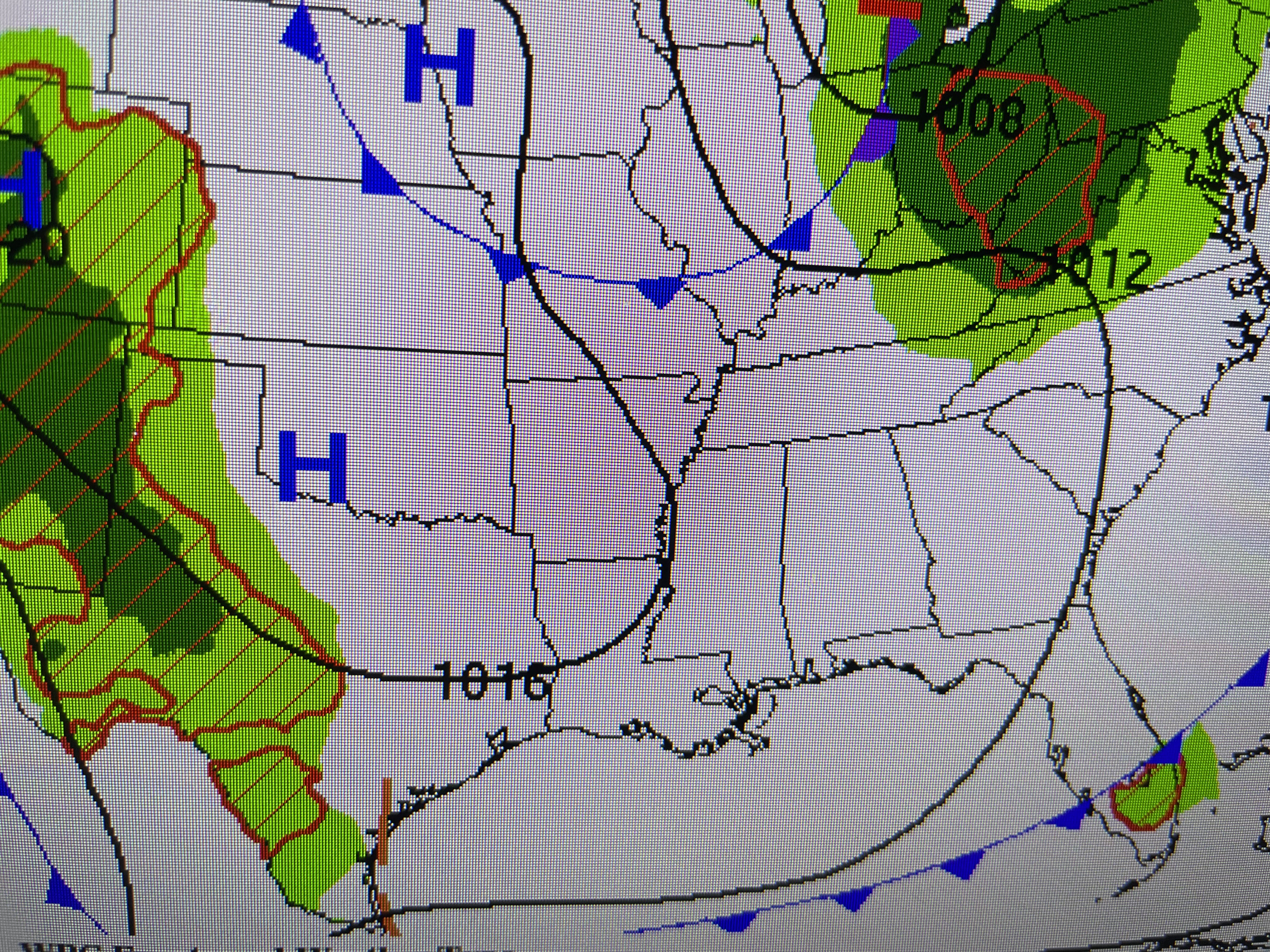

NWS does keep the front moving and that would minimize the heavy rain threat. The bottom 2 views are valid for Saturday morning followed by Sunday AM.

Since I'm posting early, this is the FOX 8 7 day from noon time. Check with their 4 & 5 PM programs to see the latest. My guess is they will update the Thursday & Friday rain chances, especially for the North Shore. Another round comes late Sunday into Monday. Stay tuned!

No comments:
Post a Comment