
We should not be surprised to see a major hurricane develop over what the experts told us was record warm water temps in the MDR (Main Development Region). What is a surprise is how rapidly Beryl has increased from a Cat. One hurricane last night to a Cat. 4 today. I am posting early since I don't expect NHC to have any major changes on their 4 PM update. Let's look at the Tropics.


The red circle is Beryl as she approaches the Windward Islands. I grabbed these pics from Hannah Gard's morning programs.


We have seen major hurricanes in June before, but not very often. The second graphic shows the average date for such storms is September 1st so we're way ahead of normal/average.


Beryl is a classic looking major hurricane with a well defined eye & eyewall. She will graze Barbados but have major impacts on St. Vincent, the Grenadines & Grenada before blasting into the Caribbean at 20-25 mph.


A couple of things to note. 1) Beryl has rapidly intensified due to warm water, little wind shear & she's in an area where the MJO is favorable for rising air. The farther she goes to the west, wind shear will increase and the MJO will turn unfavorable (sinking air). That is why NHC weakens her back to a Cat. one before reaching the Yucatan. 2)The centerline track takes Beryl near Jamaica and over the Cayman Islands while still a Cat. 3, which means they will receive significant damages. So does that mean there is no danger from Beryl to the United States? Not exactly.

The current upper air pattern has the heat dome centered over Texas while the remains of 94 L pulls westward into Mexico. This heat dome is forecasted to shift to the east protecting us from Beryl. However, as the dome shifts farther to the east late next week, what's left of Beryl coming across the Yucatan could turn around the ridge and head toward south Texas. The Canadian model shows just that for July 8th. However, the Euro and GFS don't agree.


The top is the Canadian followed by the European & the bottom is the GFS, all for July 8th. Can you totally believe models that far out? Absolutely not. We need to pay attention to the centerline track the next couple of days to see which way NHC is trending. We want them to trend on the south side of the track. Any trend to the north could bring Beryl into the Gulf late next week. By then, she will be a much weaken storm. In the short term...


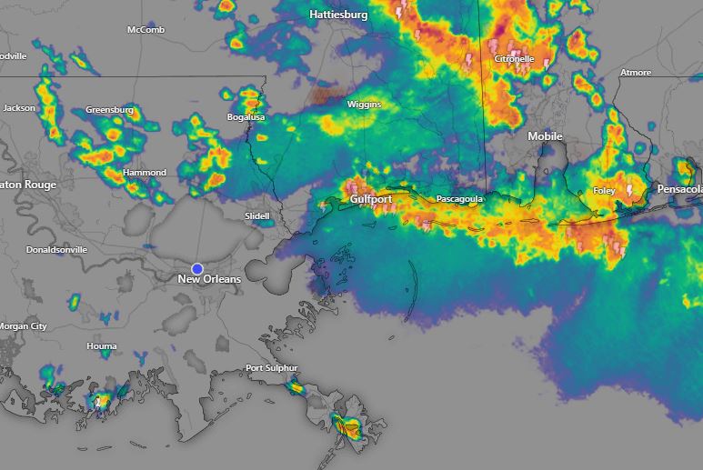
A strong cold front has pushed through the Great Lakes into the Ohio Valley. No, it's not coming here. Look at the 60s & 70s north of the front with dew points in the 40s & 50s. Burr! Must feel nice?


Oh it would be nice to see those storms keep moving to the South Shore. We need heat relief!!! Stay tuned!

No comments:
Post a Comment