


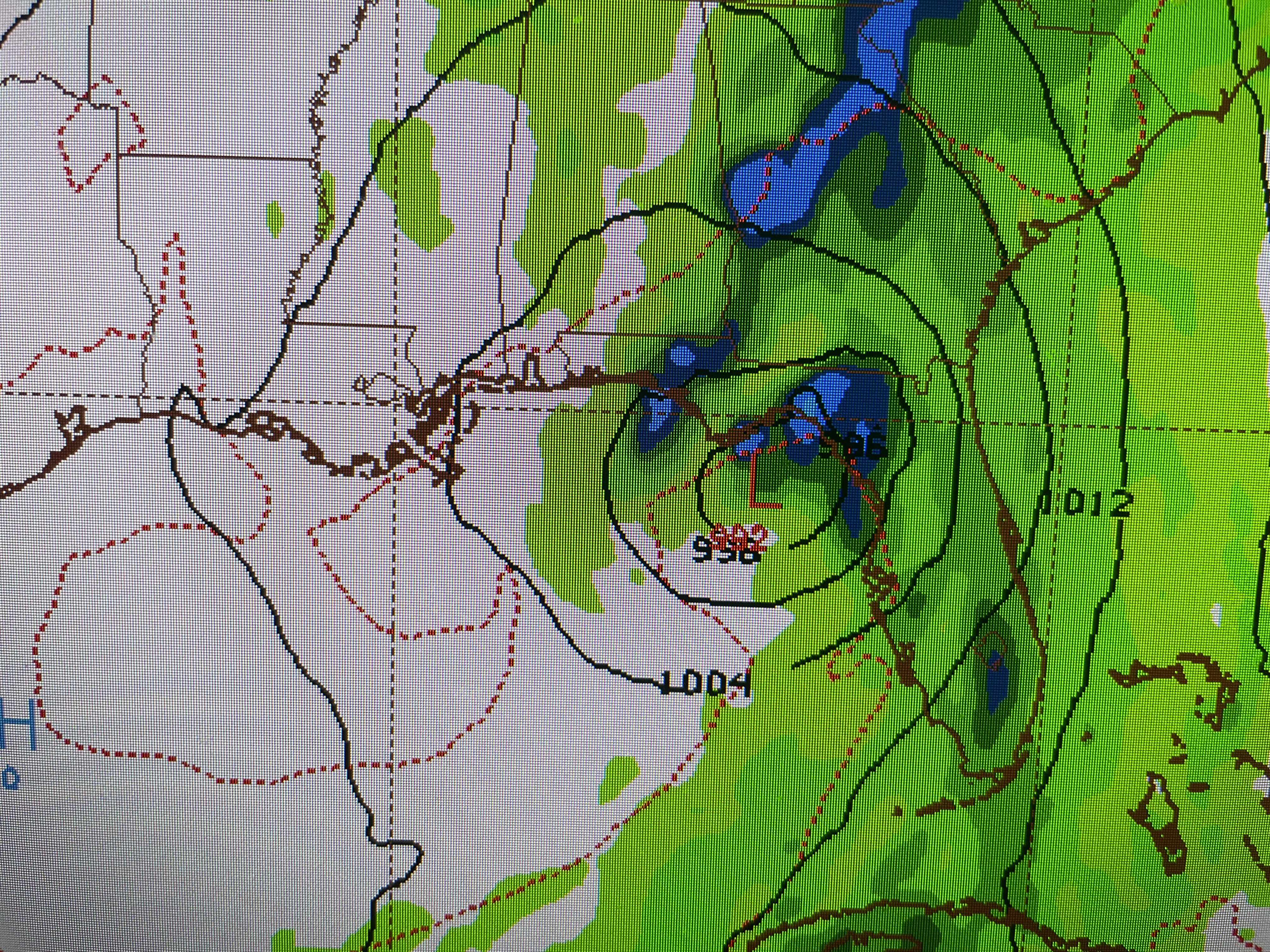
The top view is valid for next Wednesday evening followed by Thursday morning then Thursday evening. As you can see, IF the model proves reality, the threat will not be for us. Right now, there is nothing showing organization on satellite views.


Of greater concern is a line of T-Storms approaching from the NW that has prompted SPC to issue a severe T-Storm Watch for much of our state.


This line is expected to weaken before reaching us. However, let's pay attention during the evening hours in case it doesn't.


Not only is there heavy rainfall with this line, but lots of lightning too.
.jpg)

Winds have been cranking ahead of this disturbance and it made for a very tough fishing trip.


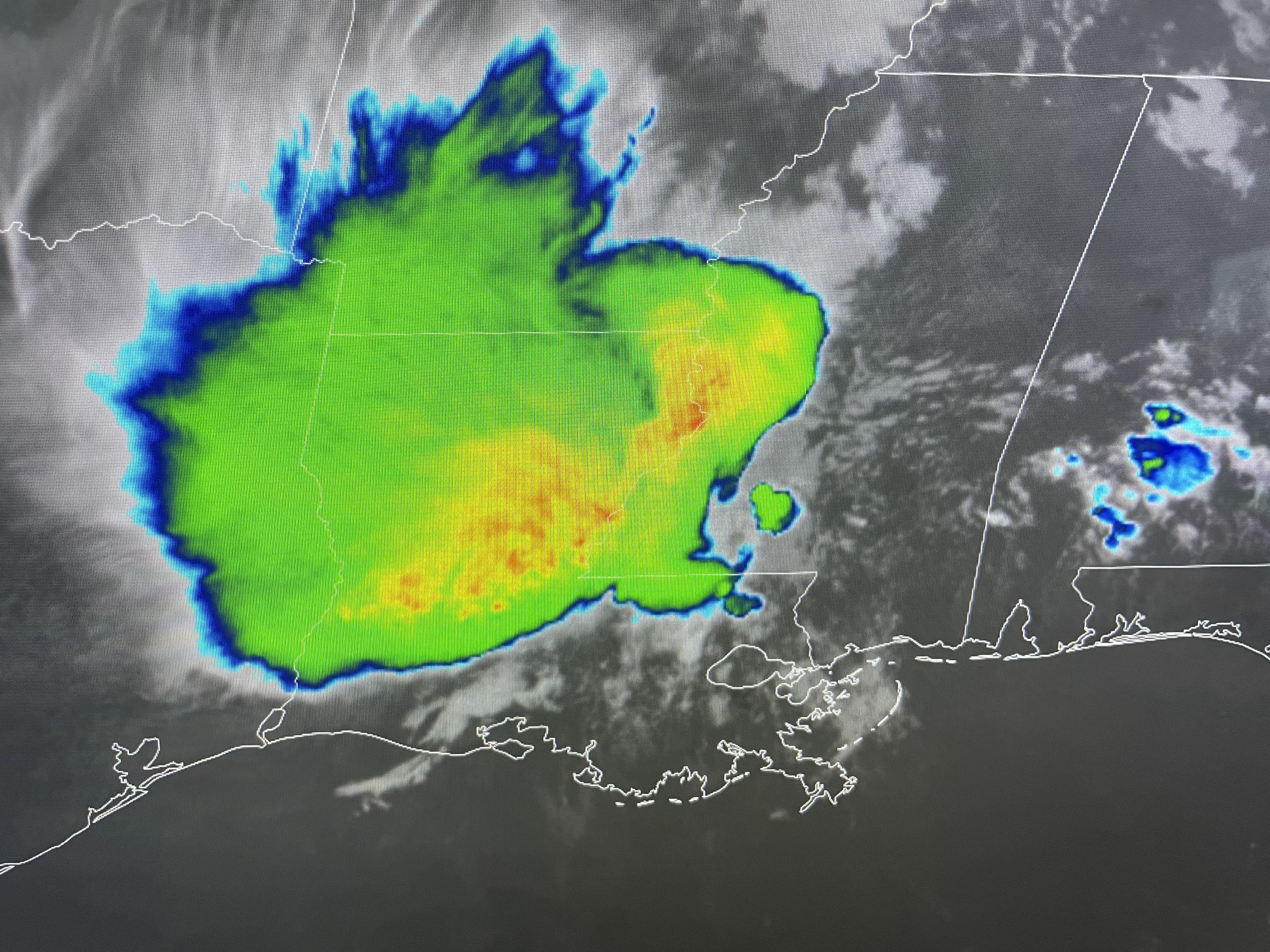
These upper disturbances are rotating around that upper heat dome over Mexico. Note 70+ dew points (bottom graphic) have surged up to Milwaukee. This is very juicy air. Over the next several days, that upper heat dome will slowly extend more over us.
.jpg)


That should lower our daily rain coverage increasing our afternoon highs. I will be watching to see if the GFS model continues to show tropical development for next week. Finally, although the winds made catching fish difficult yesterday and today, catching the morning sunrise never gets old.

I always look forward to being out with Mother Nature. Stay tuned!

No comments:
Post a Comment