
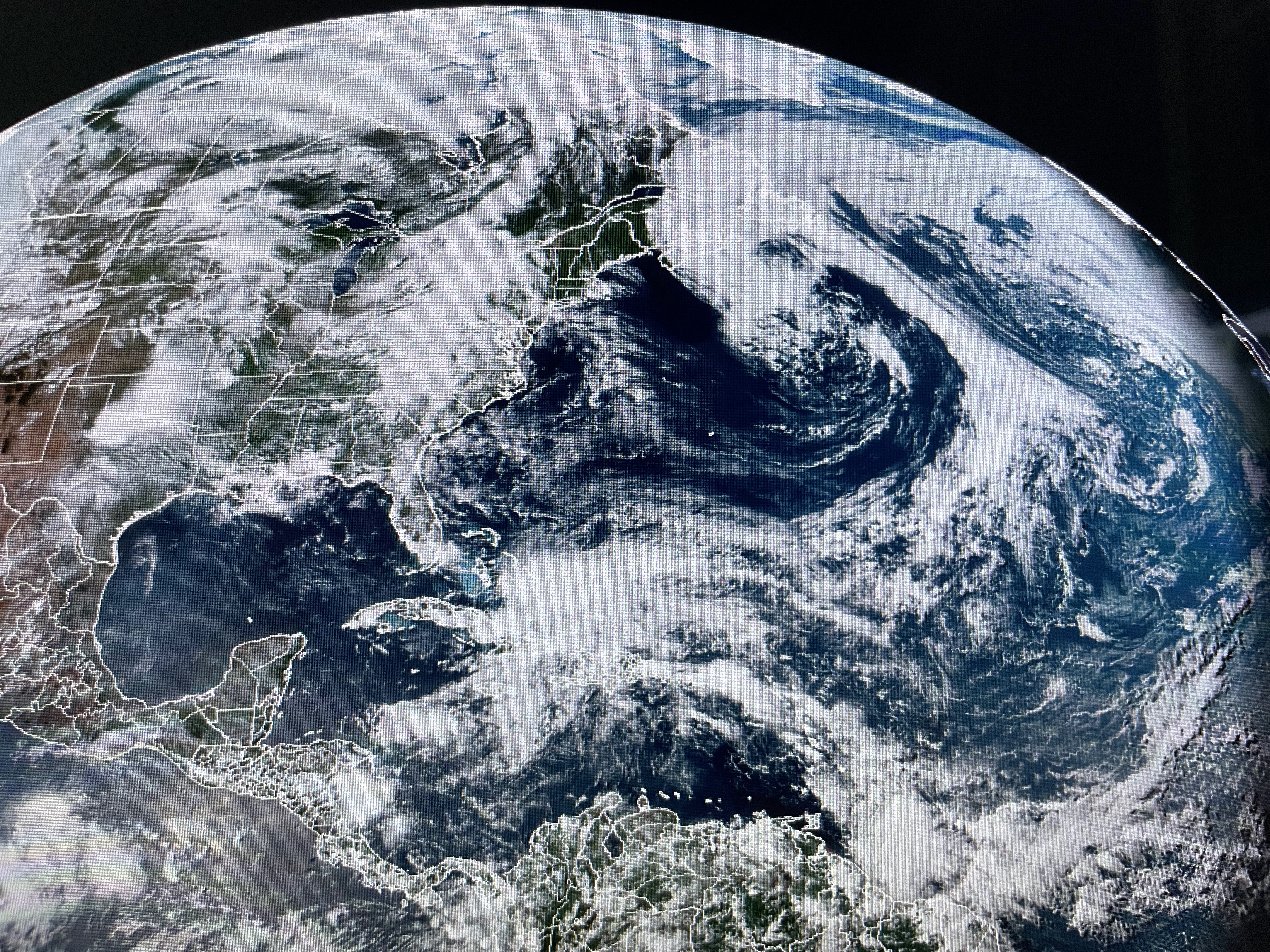


There is a general dip/trough in the upper flow over the eastern states that extends down into the Caribbean. That flow is keeping disturbances moving down from the NW triggering above normal clouds & showers.


That's a vastly different upper pattern that will have us sizzling towards 100 degrees. As one person commented, a heat dome protects us from hurricanes. Geez, it's like pick your poison! Weather wise, look for more of the same on Monday & Tuesday before we dry out some for Wednesday & Thursday.


As you can see, if you get rain you're less hot. Years ago they called this Summertime. Now it's called "extreme this or that".

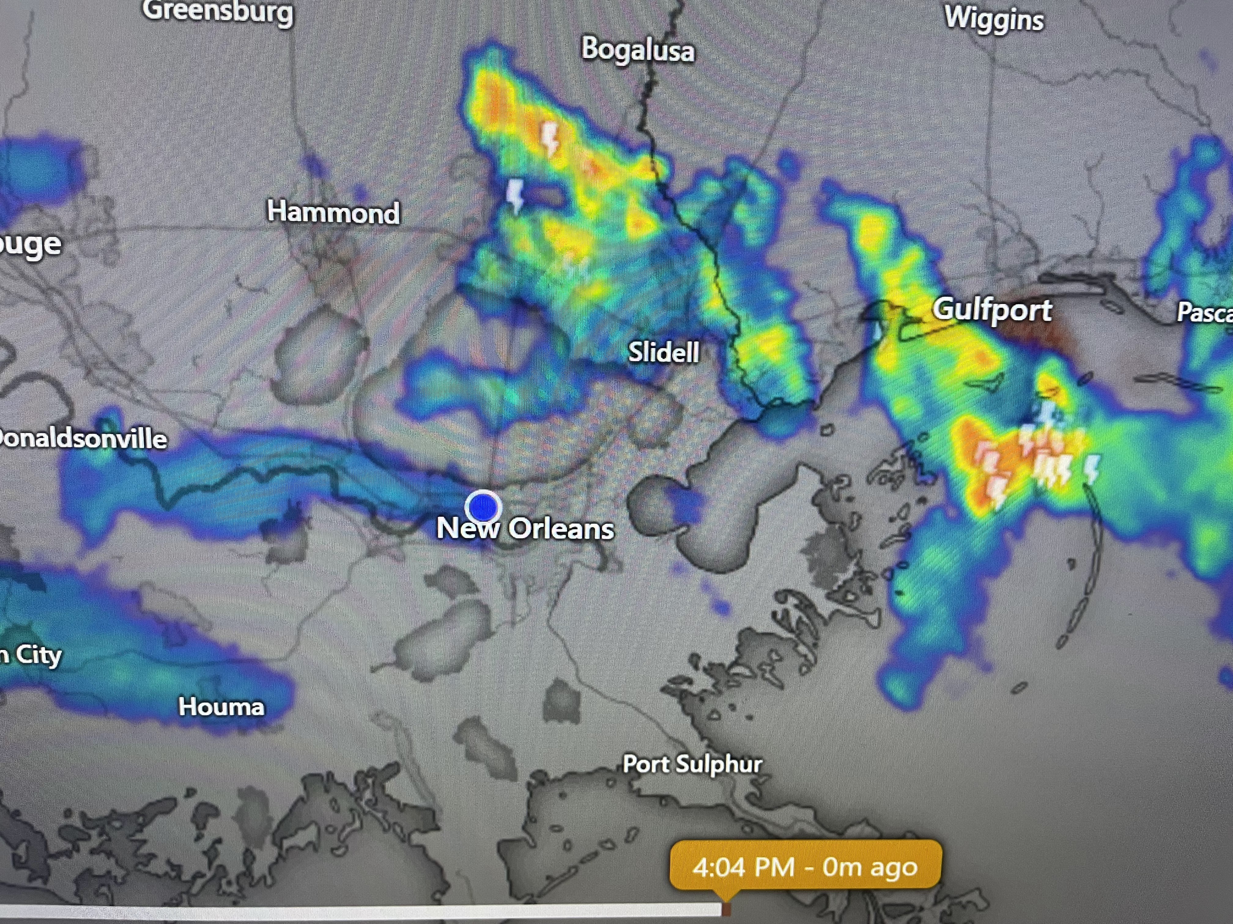

So the extended each day will find someone getting wet and less hot, while others are dry and sweating like a dog.

Since nothing is happening this week, I'm going fishing with Captains Hylton & Johnny. Try to stay cool & dry. I think they call it inside in air conditioning?!!! Stay tuned!

No comments:
Post a Comment