Patty was supposed to be the next named storm that was to form in the Caribbean, but NHC chose to use it on a "sub-tropical " system near the Azores. Where are the Azores? Way, way out in the central Atlantic. Satellite views appear to have the circulation behind a cold front, but NHC wanted to issue warnings for the Azores since winds were 60-60 mph.
So next name up is Rafael and both Euro & GFS indicate a Tropical Storm will form early next week. NHC already has designated it Invest 97-L and a recon flight is scheduled for Sunday. Satellite views find very little there yet.
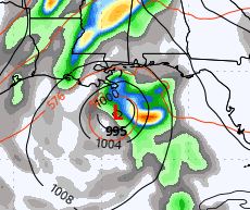
Interesting both Euro & GFS have system forming in same location and then entering SE Gulf. But models are totally different in final solutions. First up, the GFS valid for next Thursday 11-7.
By Friday (11-8) the GFS brings the system into the central Gulf and then weakens it as it turns to the NE.
Landfall is projected near the Florida beaches as a weak Tropical Storm or Depression. But look at the Euro. It has the same initial position for next Thursday.
The Euro doesn't turn Rafael to the north but heads it towards south Texas and weakens it like the GFS. Whatever forms, if it forms, will not be anything major. We could use some more rain, but it appears it won't come from Rafael as the WPC's 7 day indicates.
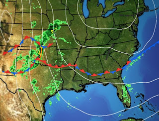
So our next interest is when will it feel like November? Not this week! Look at the upper flow with the trough over the west.
That's where the cold air resides. It's even colder up north.
We just need to be patient and the chill will arrive for the second half of November.
Even though no significant rain is expected, just because we'll stay in the warm, humid air mass, our daily rain chances will not be zero. Enjoy the extra hour of sleep tonight as we "Fall back" to Standard Time. Oh, by the way, Saints 21, Panthers 17, Who Dat ! Stay tuned!


No comments:
Post a Comment