
Nothing has changed in the thinking regarding severe weather here on Monday. SPC hasn't made any alterations to yesterday's products keeping a level 2 over north LA. for today and a level one for us tomorrow. They just issued the first tornado Watch for states well to our north.


I'm always amazed at how SPC issues a Tornado Watch before anything is there. Expect action will really increase as the upper trough approaches driving a cold front southward.

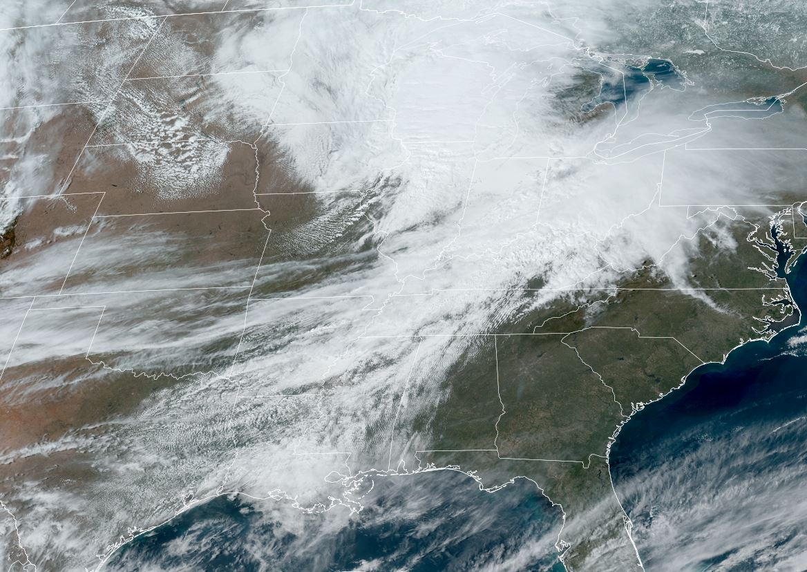


Notice the temperature contrast between Nashville (73) and St. Louis (52). In addition, the higher dew points (moisture) have surged northward to Little Rock & Memphis. As the upper dynamics lift to the east well north of us tomorrow, SPC decrease any several risk down to level one. (marginal)

Look for the showers and T-Storms to come down from the north before daybreak across the North Shore.

Typically, when we have a tornado risk, storms move from the SW to the NE. Tomorrow's motion will be NW to SE, which to me would be more a gusty wind & hail threat. Let's be cautious and keep up on the weather tomorrow morning. I can not since I have pacemaker replacement surgery at 8 AM. Zack Fradella will guide you through any storms that might turn severe beginning on FOX 8 at 4 AM. Stay tuned!
2 comments:
Good luck with pacemaker procedure!
Prayers being sent for your pacemaker replacement, Mr Breck
Post a Comment