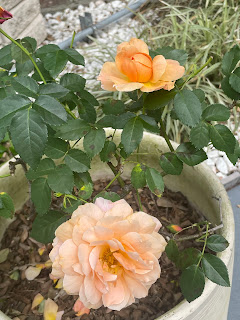
There is something about Spring that I love more than any season. I think it's the brilliant colors that pop out after you cut back your plants after the Winter freezes. Those colors will be there over the next several months, but it's like an artist adding color to a dead landscape. I love it! Except what it does to my sinuses !
What drives the new growth are rising temperatures and longer daylight. We're not done with cold fronts, but the rest of this week will flirt with record warmth.
The reason for this early warmth is a stalled upper low over the Rockies and a building upper ridge across the Southeast. It also set up a large area for severe weather and extremely heavy rainfall. Some locations could see 1-2 FEET ! of rain over the next 4-7 days.
Look for waves of low pressure moving along a stalled frontal boundary that will finally reach us on Sunday. SPC has really ramped up the severe weather threat to our north. We begin with today on top.
SPC increases today's level 3 to a level 4 on Wednesday before lowering it for Thursday. As you can see, the risk area doesn't change much for the next 3 days. Lows keep rotating out of the deep upper West Coast trough
Not only will our highs be in the 80s this week, dew points are already summer-like (70+). The strong SSE winds for the next several days will cause some coastal flooding outside the levee protection system.


No comments:
Post a Comment