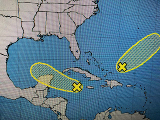
This is a quick post before I'm off to fish. NHC has not changed the probability for development of the broad area of low pressure over the western Caribbean this morning keeping it at 10%.
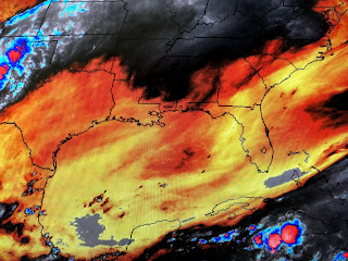
A large upper high continues to dominate the Gulf with massive amounts of dry air. Anything that does try to develop will have a difficult time. More importantly, models continue to start the Fall process of bringing down cold fronts. The first one on Friday will be weak with a much stronger front arriving next Monday. That will block any tropical activity from coming our way and finally end out record heat wave. More fronts follow that one and we hope they bring us some much needed rainfall? Looking out into the Atlantic, there is noting going on and we have reached the end for us of tropical threats coming from that region. I have placed a call into the "Fat Lady's" agent as I think it's about time for her to start to sing. Stay tuned!


No comments:
Post a Comment