We finished January 6.5 degrees above the long term normal tying for the 6th warmest on record. The first week in February will continue the above normal trend with today being the exception as highs will be slightly below normal. After a chilly start on Sunday, the warm up begins with highs in the mid 60s and 70+ for Monday through Wednesday. Colder air arrives for Thursday & Friday, but the cool down won't be severe nor last very long.
It's as warm in Montana as it is here in NOLA. That should be a sign that no cold is coming in the short term. We have seen lots of sunshine on the South Shore with some cold air clouds bubbling up during daytime heating. Clear skies are to our west and there are no storms coming until the middle of next week.
As we get deeper into February, the higher sun angle will make it difficult for us south of Lake P. to get a hard freeze. However, the historical lows show hard freezes (28 degrees or colder) have occurred almost to the end of this month.
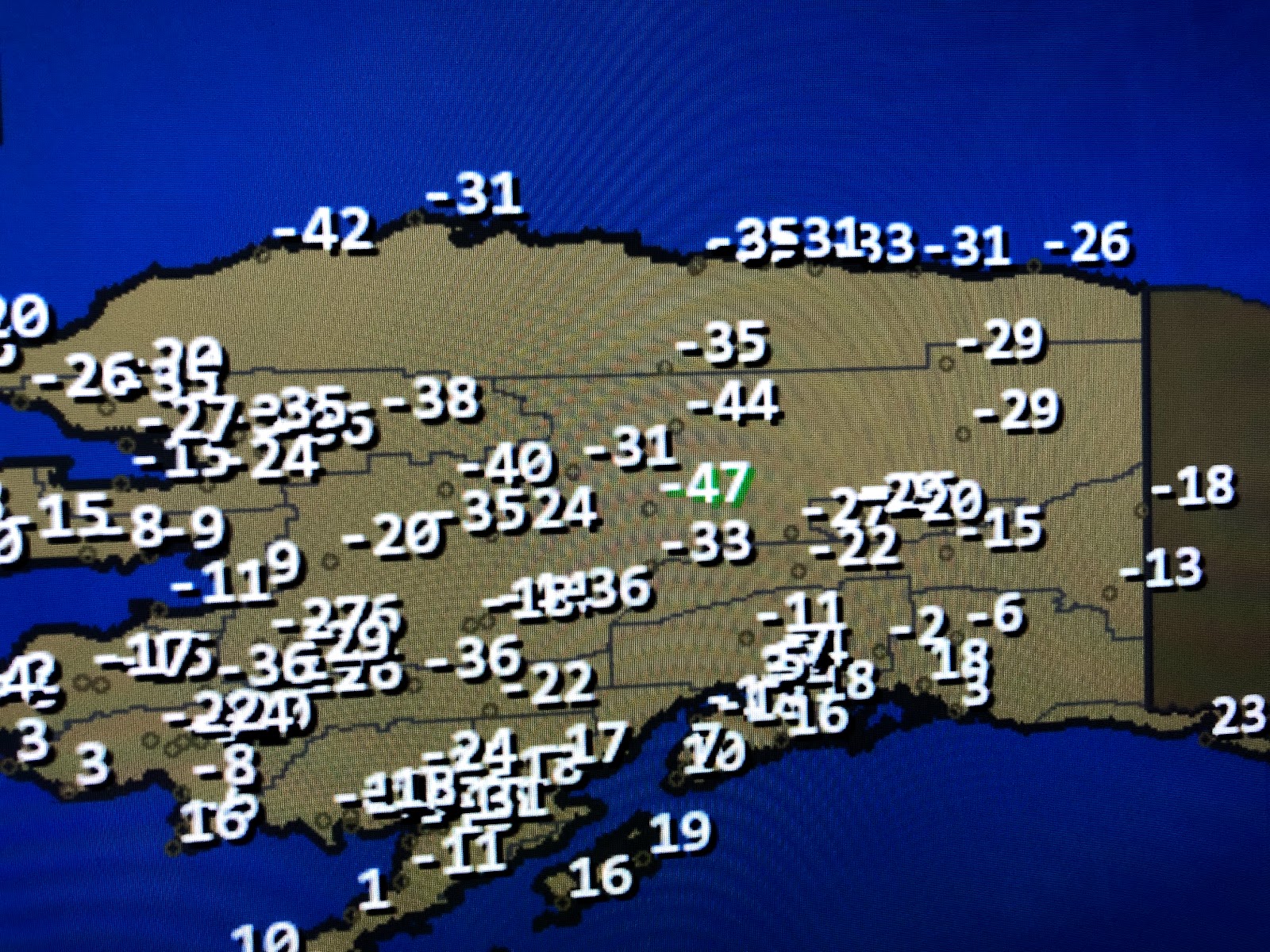
There is still plenty of super cold (40-50 below zero) lingering over northern Canada & Alaska. Long range computer models do not show an east coast trough (Polar Vortex) developing for the next 10-14 days, but it appears a more active storm pattern will set up that could bring the super cold down across the northern tier of states. I still fear we'll be colder during the 2 week Mardi Gras parade period than we have been for all of January. Something to watch. Stay tuned!


No comments:
Post a Comment