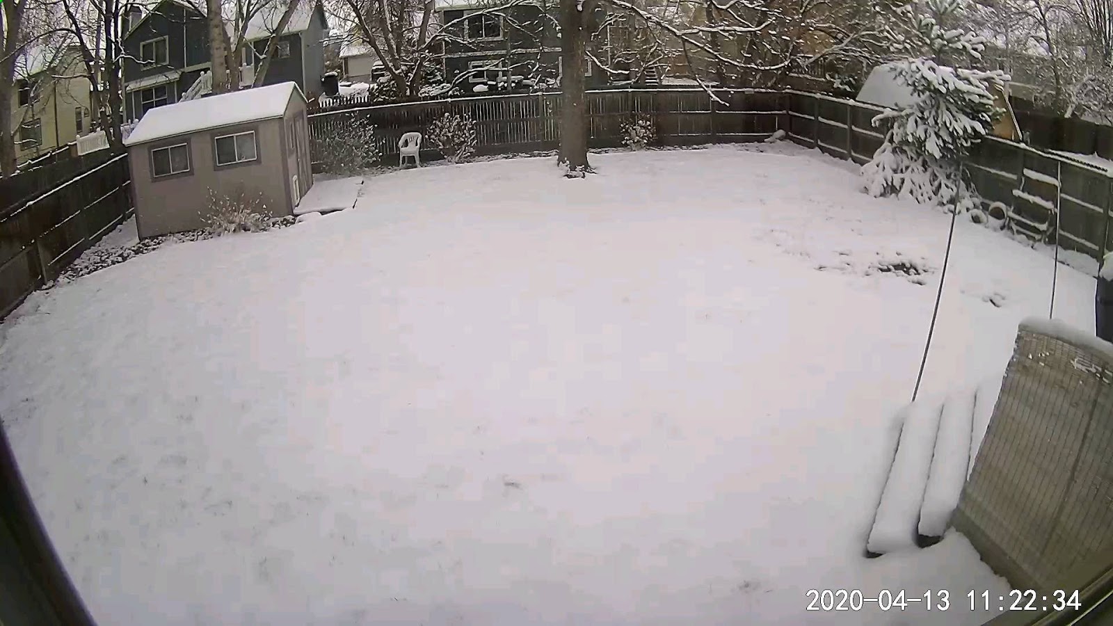
Before I talk about our weather, I thought I'd show you what is happening north of Denver. While DIA reports only .1", Boulder has been dumped on (17.7") with my son's house in Longmont getting 3-4". You can see how the Boulder area had the heaviest amounts.
It's called "upslope snows" that happen when the winds blow out of the ESE and rise up the terrain cooling, condensing the water vapor into clouds & then snowing intensely. Denver's snowiest months are typically March & April, go figure. The rest of us call this time Spring, but not Colorado.
You can see on the weather map how the return flow around the high in Nebraska takes the air back into the mountains causing the snows. Most of the west remains chilly but that will change during the next 10-14 days as the upper trough over the west shifts more to over the eastern states.


We were fortunate to see sunshine as cloud bands were both north and south of us. A weak feature coming out of the Rockies will increase our clouds late Tuesday with our next surge of cooler air filtering in for the rest of this week. It sure feels much better this afternoon as yesterday's storms and humidity have been swept away by the cold front now pushing off the east coast. We received very little rainfall late yesterday with the airport (MSY) getting .22" while my house had .06". Will have the sprinkler on the garden again this week. Just heard the Army Corps of Engineers will begin closing the gates of the Spillway despite the Carrollton gage reading over 17'. Huge falls are coming for the next 2 weeks that should have the River below 14' by mid May. Tomorrow I'll show you the latest yard project that has Bob the Digger at work. Stay tuned!


No comments:
Post a Comment