This morning the SPC mapped out the area where they expected the worst of the severe weather should occur. Your look at their map and compare it to the current radar and I think you'll agree they have been right on.
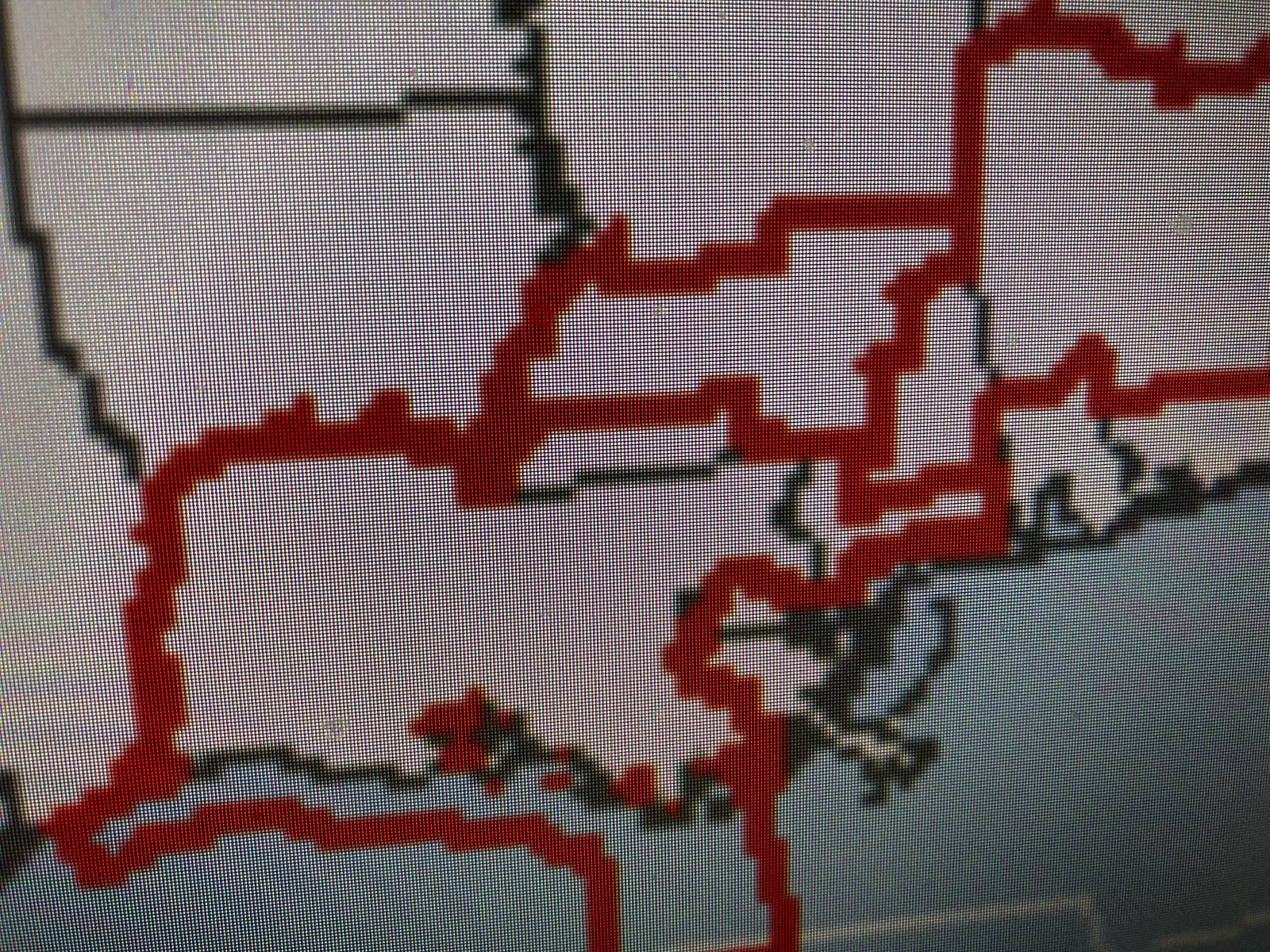
All the red lines are tornado watches with only the 3 Parishes south of Lake P. not included. Based on what I'm seeing from satellite and radar images, the threat for any severe storms south of Lake P is much lower than farther to the north. The axis of the upper trough energy is approaching and will be east of us by midnight.
Warnings are out for the storm approaching Hattiesburg and hopefully folks there have their Cell phone weather apps set correctly.
Unless the tail/western end of the line of storms starts developing farther southward, the South Shore may not see much from this system. The danger will not be over until the upper trough/energy passes to our east, but that time frame has it by us in 3-4 hours. Nicondra Norward will have the latest info on FOX 8 at 9 & 10 pm. Stay tuned!


No comments:
Post a Comment