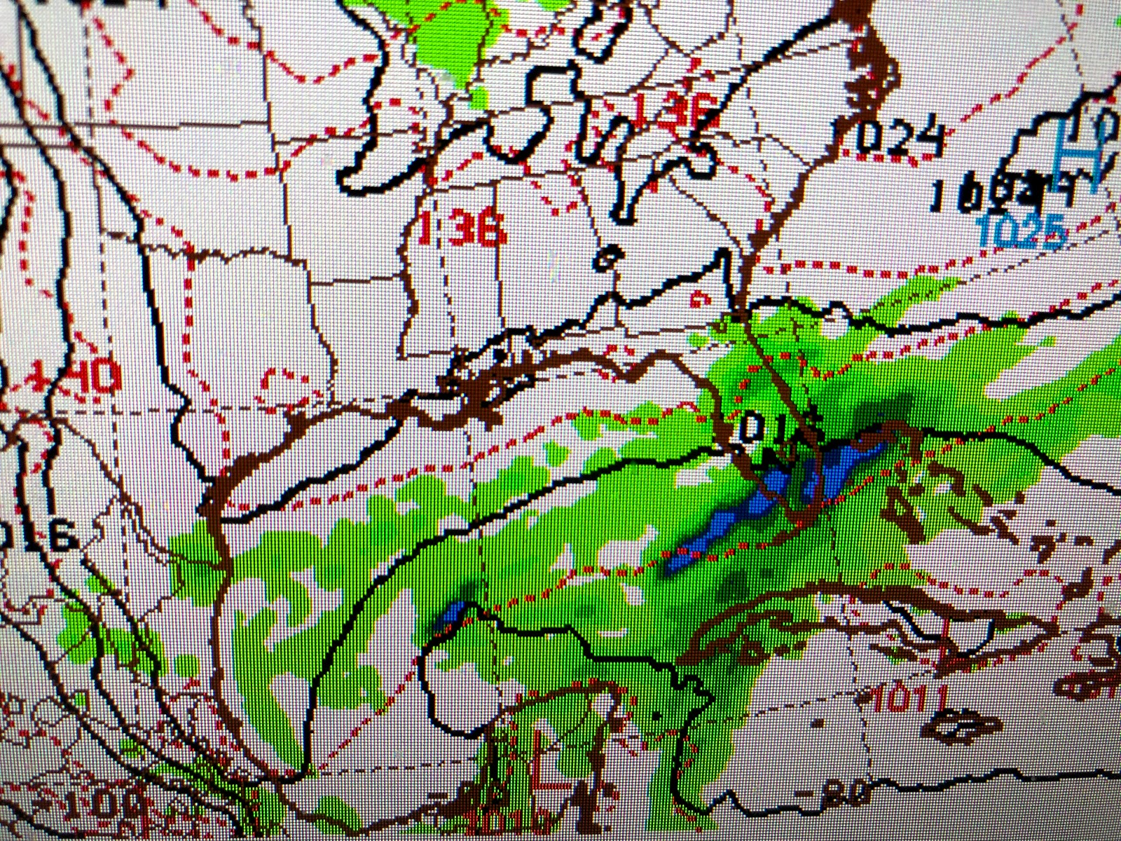
A weak cold front passed through just before daybreak with the main effect being much lower humidity this afternoon. There is a different, good feel to the air today.
We're back in the 80s, but dew points in the 40s will make for a comfy cool night after the sun goes down. Thursday will be delightful before another, stronger from arrives late Friday into Saturday. Night time lows will be in the 40s on the North Shore Sunday and Monday mornings with 50s south. High will only be in the 70s with low humidity. Too bad most of us are stuck at home.
The real chilly air is over the Great Lakes and Northeast where many record lows will be threatened this weekend. I mentioned in past posts how SOMETIMES preseason tropical systems can develop along old cold fronts that push well down into the Gulf. NHC is not talking about it yet (so neither are local weathercasters), but both the GFS & Euro continue to hint that there is the possibility for a depression that would bring torrential rains (8-12"+)to south Florida Saturday into Monday.
The top two graphics are the GFS model while the bottom 3 (probability of Trop. Storm formation}are from the Euro, which gives the greatest chance after the system passes east of Florida. We don't need to worry about it since a big area of high pressure will block(protect us) it from heading to the north. South Florida needs the rain, but this looks like it'll be too much.
Finally, these are close in satellite view that show white smoke plumes from fires just to our east. The one near Waveland brought heavy smoke over Slidell last night before the winds turned to the north. The second fire is well inland north of GPT/BIX. In addition, note how muddy the waters of Lakes Borgne & Pontchartrain are 6 days after the Spillway was closed. Mother Nature takes time to heal. Stay tuned!


No comments:
Post a Comment