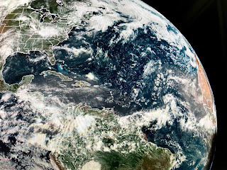
It's a typically hot & humid summer weekend over SE LA/MS, with the exception of below normal/average T-Storm coverage. In fact, coverage is less than 20% resulting in temps. low to mid 90s. That's confirmed in satellite and radar views.
The next few days should see no major changes as we have no fronts around. Our surface air mass has dew points in the 70s so we can't rule out a storm bubbling up during daytime heating.
You have to head to the western states to get away from the heat as a deep upper trough has made them chilly. The dust has backed off for now, but more can be seen on satellite pics.
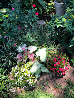
The arrow indicates a strong tropical wave midway out in the Atlantic that NHC says has a slight chance for development along with another area off the east coast. Models are not indicating anything developing around us for the next 7-10 days. Which is why I show you what the recent rains have done for my flowers.
Hope you enjoy and feel good that we are nearing the end of month one of the 2020 hurricane season. Stay tuned!


1 comment:
Beautiful gardens ...
Post a Comment