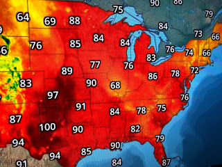
One such cooling shower did develop just after noon time, but it quickly weakened and rained itself out by 2 PM. The cool down was brief and didn't help keep the high temp in Kenner from reaching 95. What is interesting is the low (81) for the day happened during that brief storm that dropped .23" at the airport. Upper lows are cooling parts of the nation, specifically the Northeast (in the 60s) and the northern Rockies (in the 40s & 50s).
We have no upper low near us today, but models are indicating one will form by late this week. That should increase our clouds and shower coverage and result in highs being less hot (upper 80?).
Dew points are in the 70s all the way up into Canada so their air feels just as hot as ours.
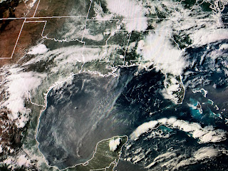
You can see all the fronts are way up north and we have no tropical system in the Gulf or Caribbean. Any cooling relief will have to come from that upper low forming along the northern Gulf for Friday into next week. NWS is talking about possible heavy rain potential, but that's too far away to get nervous about. Common sense must take over during these summer hot days. Have a head cover/hat & hydrate often. Stay tuned!


No comments:
Post a Comment