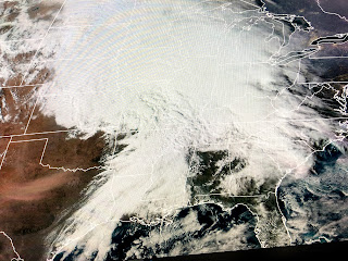
Late Winter storms can often be crippling for traveling plus, they often cause widespread power outages. This system has been well advertised/forecasted for days so no one should be caught by surprise.
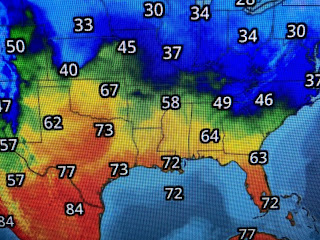
Anytime you see lots of tightly packed lines/isobars on the surface map, that translates into lots of wind. You can see we have jumped into the warm air sector and will stay very mild over night. The real cold air lags well behind the front that is pushing through Dallas and our Sunday should turn out delightful with early clouds leaving and highs 70+. The chill comes on Monday & Tuesday.
We could see a couple of showers later tonight, but with the main energy far to our north, amounts should remain light. Notice the sharp drop off in dew points behind the front. That will make tonight's muggies feel much different during the day tomorrow.


No comments:
Post a Comment