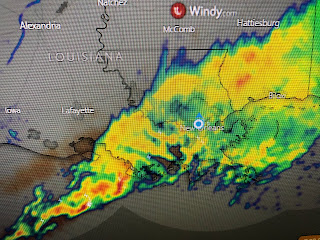
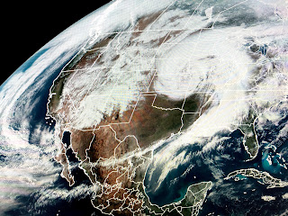
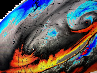
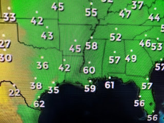
It appears the back edge of the rain is slowly pulling to the east and we could see the boundary shift to along the coast after midnight, but not for long. As another strong upper disturbance starts to head out of the Rockies tomorrow, that boundary should work its way back over us with more heavy rainfall.
Once the boundary lifts back to the north, we actually could see some sunny breaks Wednesday PM. The Rockies disturbance is likely to bring another round of severe storms into the Plains tomorrow and closer to us on Thursday as SPC has highlighted.
So until we can get the frontal boundary away from us, the heavy rain threat will contines.


No comments:
Post a Comment