Thursday, March 18, 2021

Severe Weather Reports Way Under Estimates...

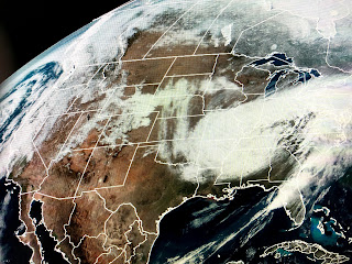
Yesterday was obviously an active weather day, but it actually underperformed in terms of severe weather reports.   SPC was expecting a large area reporting severe storms, and to their credit most reports fell right where SPC predicted.  However the numbers were less than 160 with only 27 of them being tornadoes.  Compare that to the more active days of 200 tornado reports in the past. (1974, 2011)


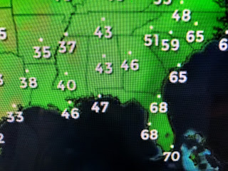
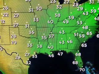
Fortunately no deaths have been reported, perhaps because the early warning time allowed people to be prepared & not surprised.   That system brought a cold front through overnight sweeping away to 70+ dew points and making for a very pleasant Thursday.


Not such a nice day up north where there's an extensive area of cold rain stretching from Missouri to Boston.   We could see some wrap around clouds on Friday that will keep our highs mainly in the 50s.   You'll need sweaters and coats tonight and into Saturday as this front had some gusto to it.


With northerly winds ripping, wind chills could make it feel like the 30s overnight.  However, at this time of the year, it won't stay cold for very long.


In fact, it could be 70+ as soon as Sunday, but certainty by Monday into much of next week.  Another strong cold front is predicted by the models for next Thursday that could bring us our next bout with severe weather.   That's what happens in Spring time.  Snuggle up the next couple of  & Stay tuned!

No comments: