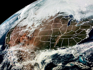
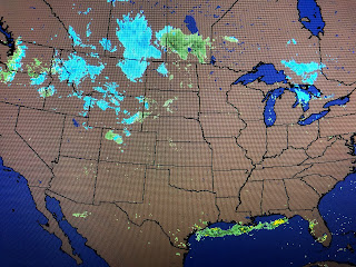
That front is now down over the Gulf, but not for long as it will return to the north on Tuesday bringing back the clouds and a few showers.
Notice the cold gathering across Montana and Wyoming with a warm surge out ahead of it. We'll jump back into the warm air sector for Tuesday & Wednesday before that cold surge arrives for Thursday through the weekend. The reason for cold air returning is the predicted flip in the upper winds that bring an East Coast trough by Thursday.
The top graphic is today's upper winds that have gone mainly west to east over us. The next graphic is valid for Thursday morning showing a NW flow over us. The 7 day clearly shows the big drop in temperatures coming for later this week into Easter Sunday. With plenty of sunshine, if you're dressed for it, it will be delightful to be outside. Finally, I'm sure you all heard about the deadly flash flooding around Nashville?
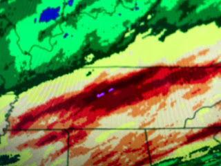
Over 10+" fell creating similar flooding like the 2010 flood. My concern is some of that water will be flooding west of Nashville heading into the Mississippi River during the next week. That will then head our way during the first 2 weeks in April. So far, the local River Forecast Office of NWS has not raised the crest on the Mississippi here.
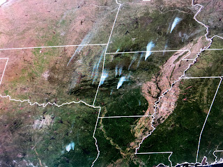
I get nervous when the predicted crest nears 15 feet. That's not counting more rain coming in April. The next system coming out of the Rockies will not be as intense with the rain bullseye (2-3") centered south of Nashville If that's all that falls, it should not add on to the future crest. You can see on the satellite pictures which side of the Mississippi has received the recent rainfall.


No comments:
Post a Comment