


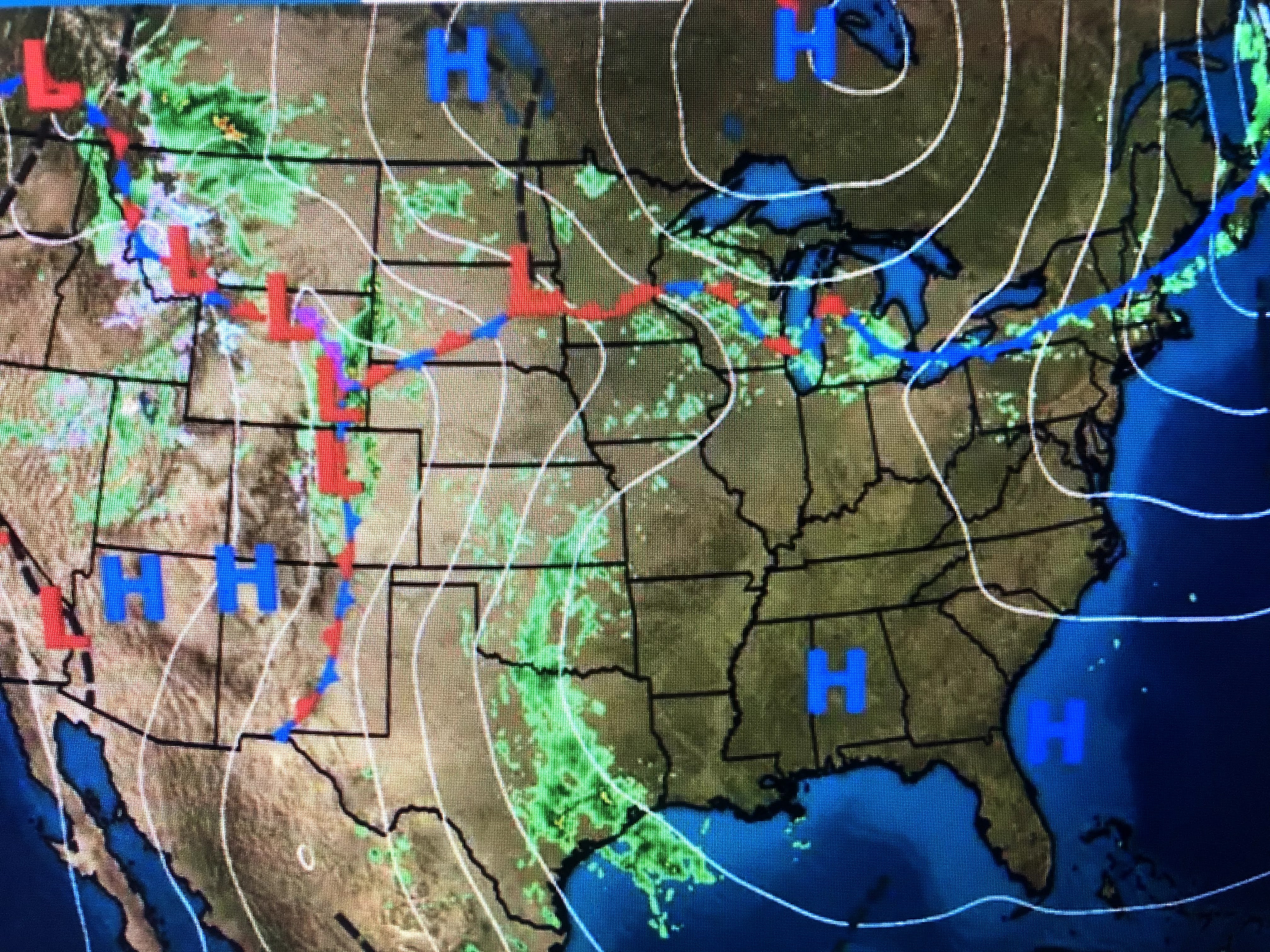
The Omega block I mentioned last week hangs on with upper troughs over the west and off the east coast with an upper high over Mississippi. That pattern will slowly break down during this week, but the main storm track will stay well to our north.


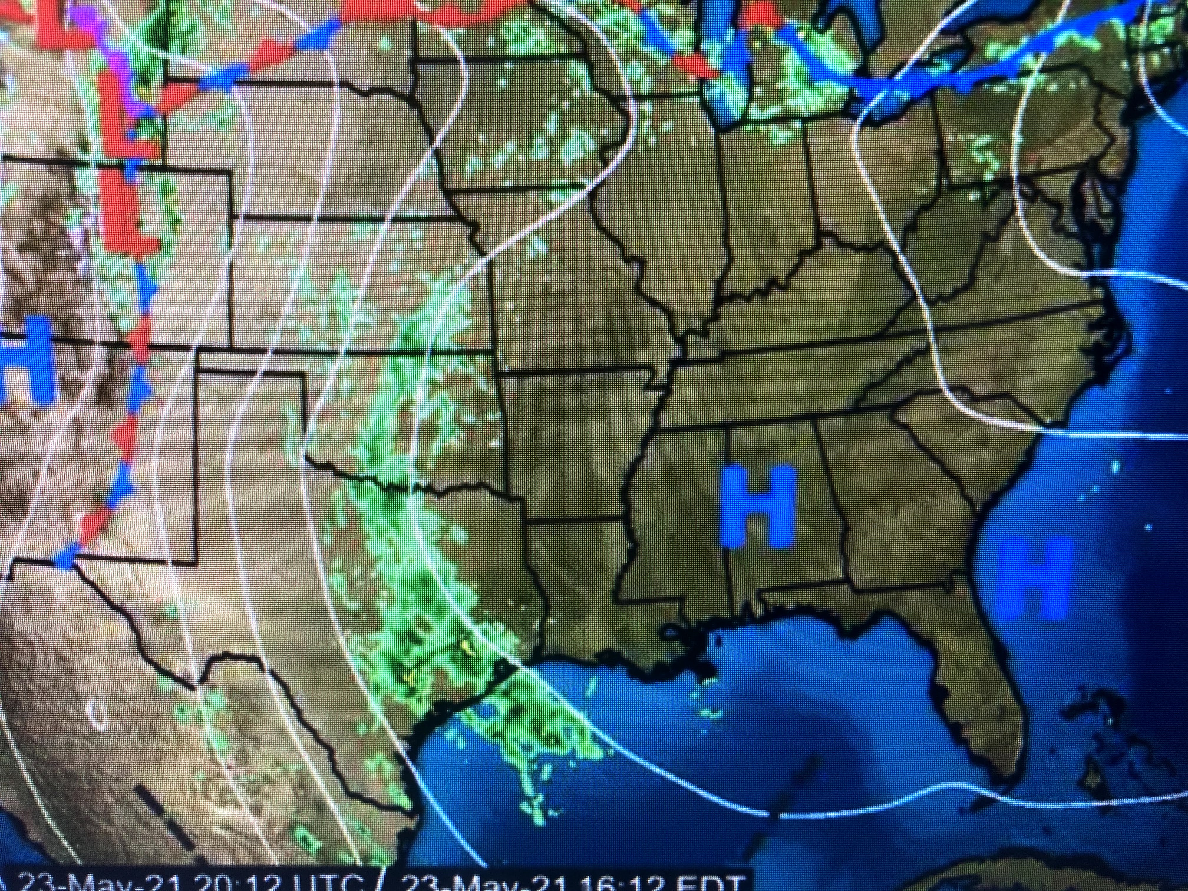
The top graphic is from this morning, the middle valid for Tuesday morning with the bottom valid for Friday morning. The stream of Gulf moisture should finally end over Texas bringing some relief to all the recent rains.


In the short term, the large surface high over the east will retreat allowing for a cold front to bring some relief to the current heat wave. NYC topped 90+ today.


We will not see any fronts this week, so for us to get any rain, it will have to come from daytime heating, That appears unlikely so it's back to watering you garden and potted plants.


The main story for us will be what day reaches 90? Maybe everyday! I'll end with some pics of my Missoula trip.


The sunsets were stunning and I actually watched some guys "river surf" the Clark Fork River. They wore wet suits since the waters are snow melt and in the 40s. Burr! Stay tuned!

No comments:
Post a Comment