


But it's back to reality and I know most of you are sick of all this rain. There is good news after tomorrow as Friday through Sunday & into next week will dry out and heat up.


The cut off low that is over west Texas will lift to the north while the upper high over the Southeast builds to the west. As that happens, we are likely to see our first 90+ day maybe as soon as Sunday.


But before we dry out, Thursday will again see several rounds of showers/T-Showers with the potential for another 1-2+" of rain keeping the Flash Flood Watch in effect. In addition, the brisk SE winds have tides 2-4 feet above normal causing some coastal flooding.


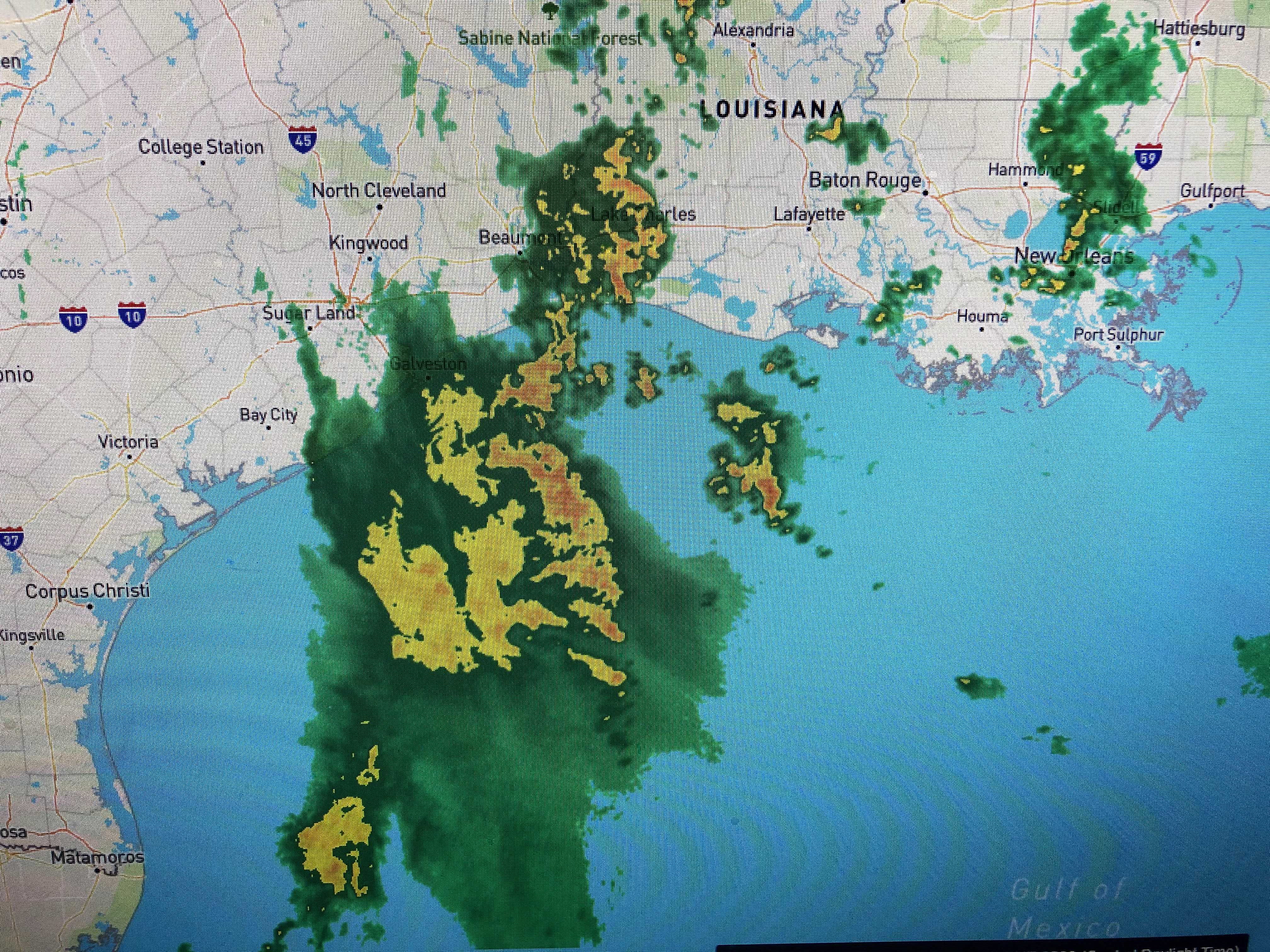
The current band of rain over us into the Lake and North Shore will lift away with another area to our SW approaching before Dawn. These are upper disturbances and are not associated with any surface features.


You can see the deep flow of Gulf moisture(high dew points) surging all the way to Minneapolis & Chicago. With the upper ridge over the eastern states, temperatures have warmed up while under the upper trough, the western states are chilly.


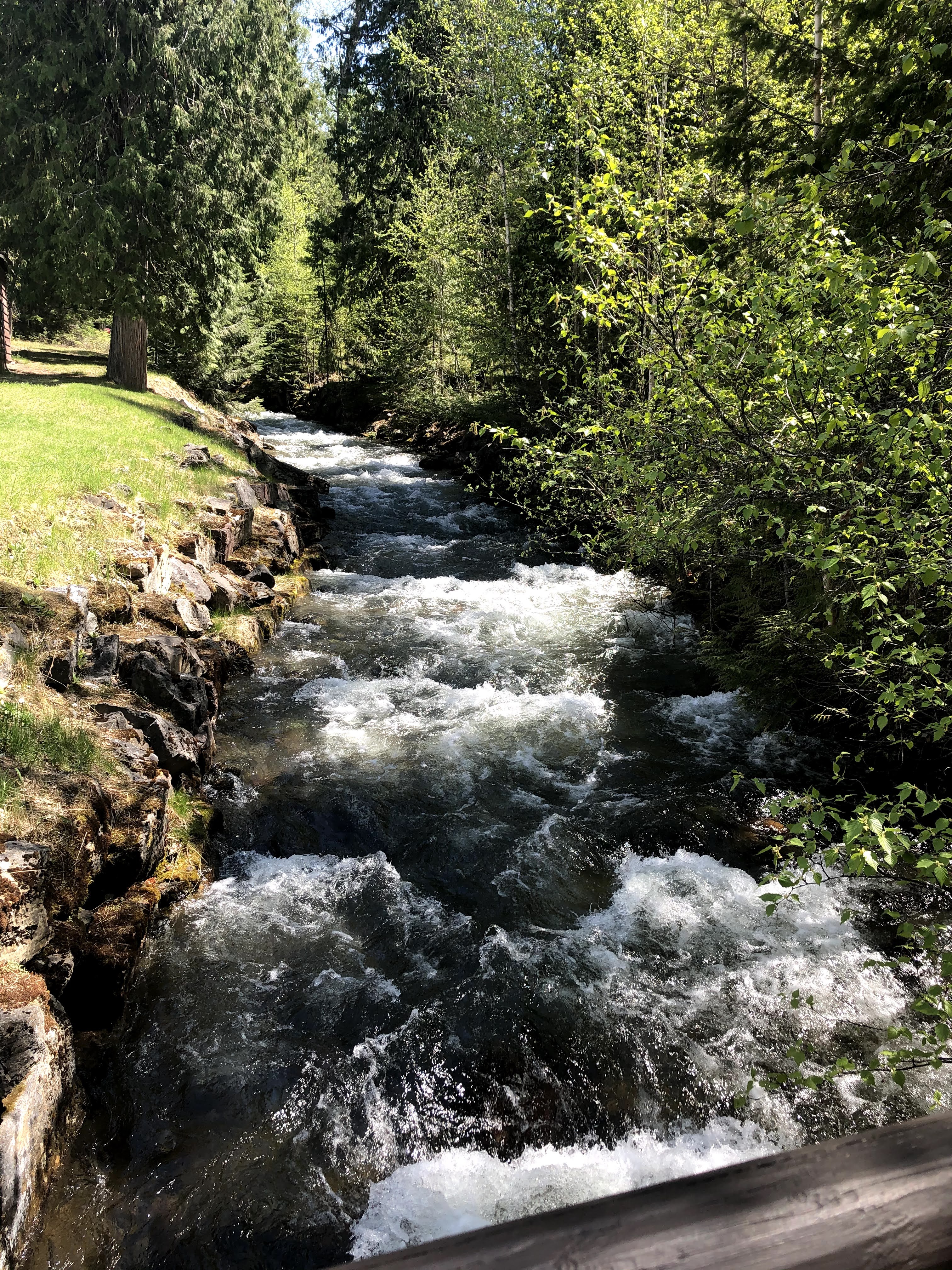
I was fortunate to leave Missoula this morning as they are expecting 1-3" of snow ! Yikes, it's late May! Finally...


3 comments:
Glad you had a great trip! Welcome home!
Loved the beautiful pictures Bob. Glad you got to spend quality time with your family. We miseed you.
Enjoy it Bob you've earned it.
Post a Comment