


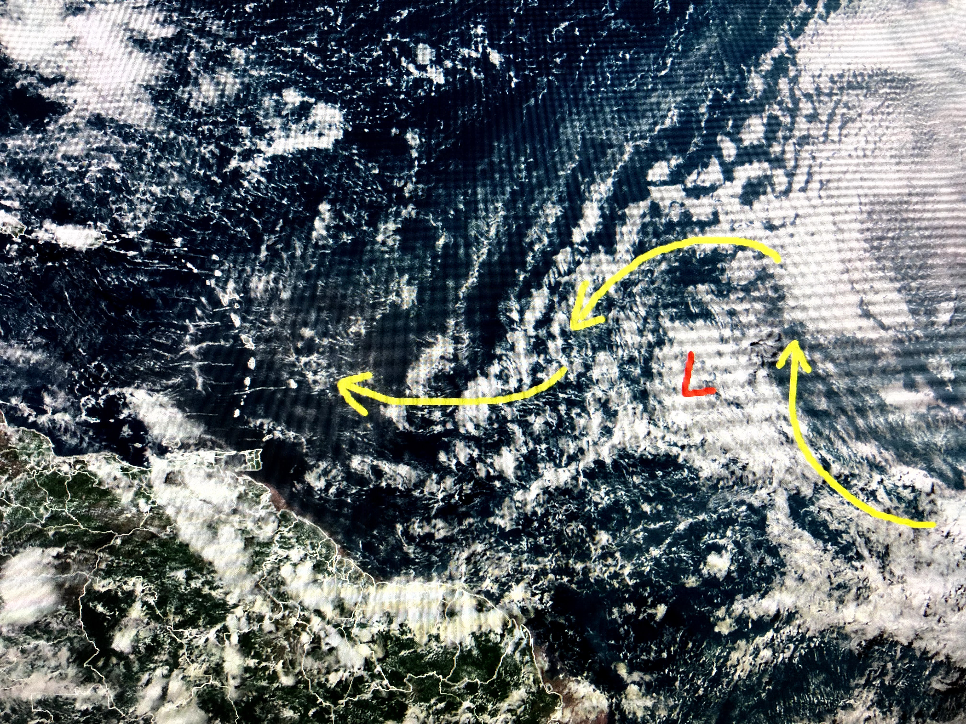
This morning all of the storms were being blown well off to the west with the circulation center being exposed. By 2-3 PM, the low level center began to fire off big storms on the western side and Hurricane Hunters found tropical storm force winds, hence it was named Danny. Most of the weather remains on the west side of Danny, which is opposite what we see with many tropical systems.


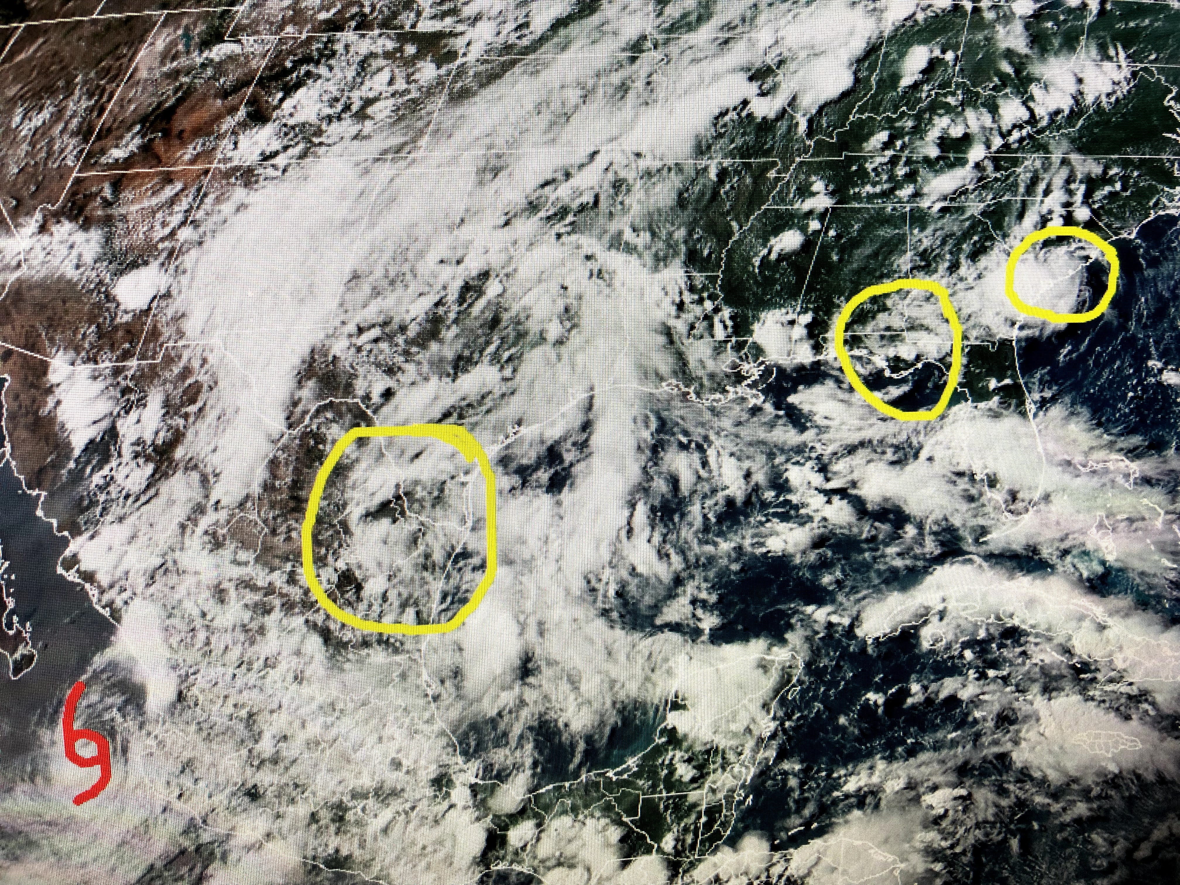
The bottom picture is the Gulf of Mexico. Yea I know it's hard to tell since it has lots of unsettled weather over it. None of it is organized and I circled Danny on the East Coast, an upper low moving west over Florida and another upper low moving from south Texas into Mexico. The earlier Hurricane (Enrique) in the East Pac has weakened down to a Topical Storm. NHC is still following an area way out in the Atlantic.


I see it more of an open wave today, but several models has it developing later this week when it approaches the Islands. It will be followed by yet another system coming off of Africa so the Eastern Atlantic is getting off to an early start.


Locally, the eastern 2/3 of the nation has basic summertime with heat, humidity and spotty showers. The big stories are heat waves on both coasts with NYC & Boston reaching the mid to upper 90s, with the Pacific NW even hotter.
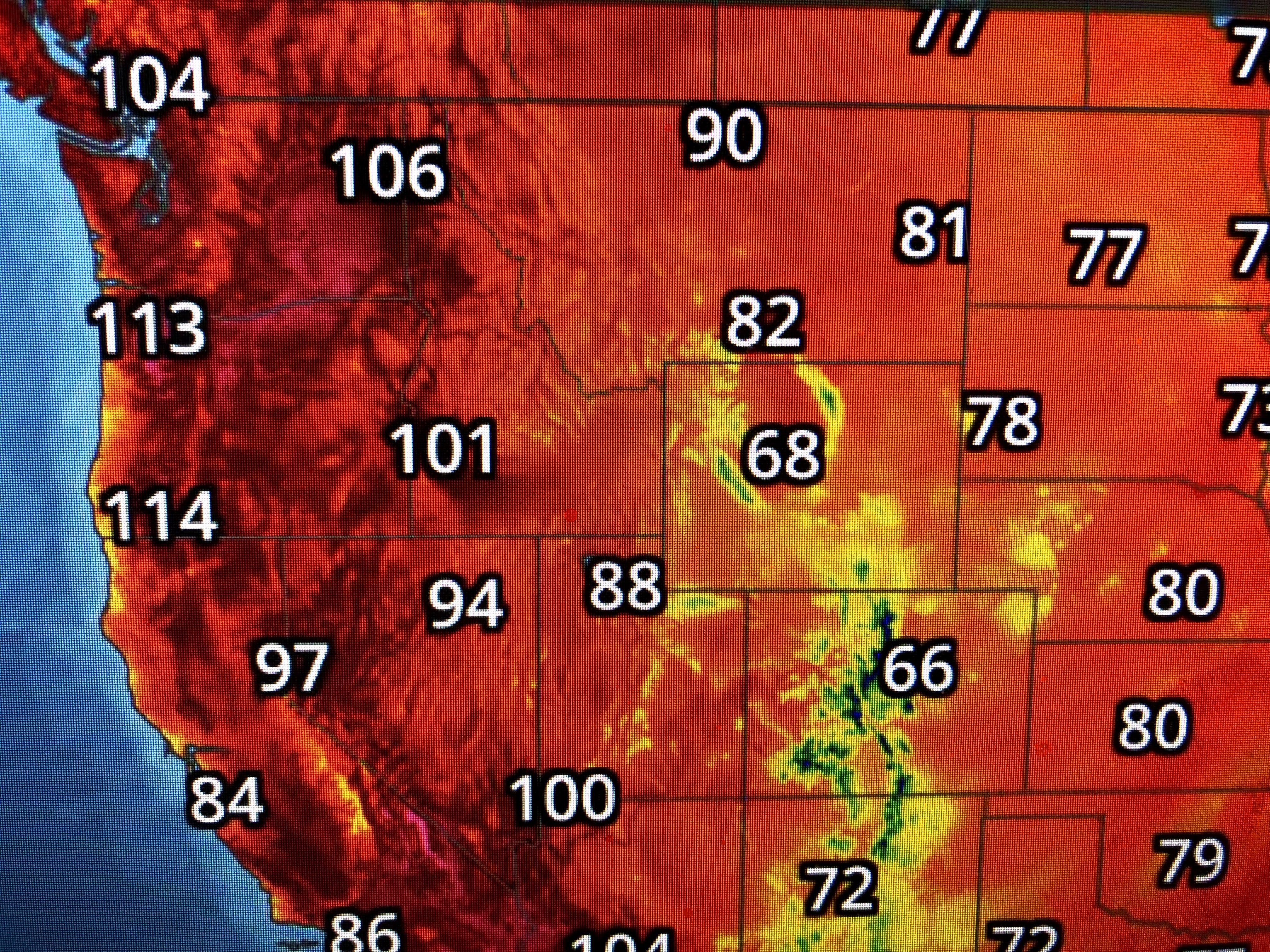

80 & 90+ heat has surged up into Canada, which doesn't happen very often. Fortunately, our daily clouds and showers have kept us from being super hot.


The top graphic is the tight satellite view with the arrows pointing out the shadows from the tall T-Storms. We stayed below 90 again today, and with the upper low moving over us tomorrow, I suspect more storms will bubble up keeping us below 90 again.
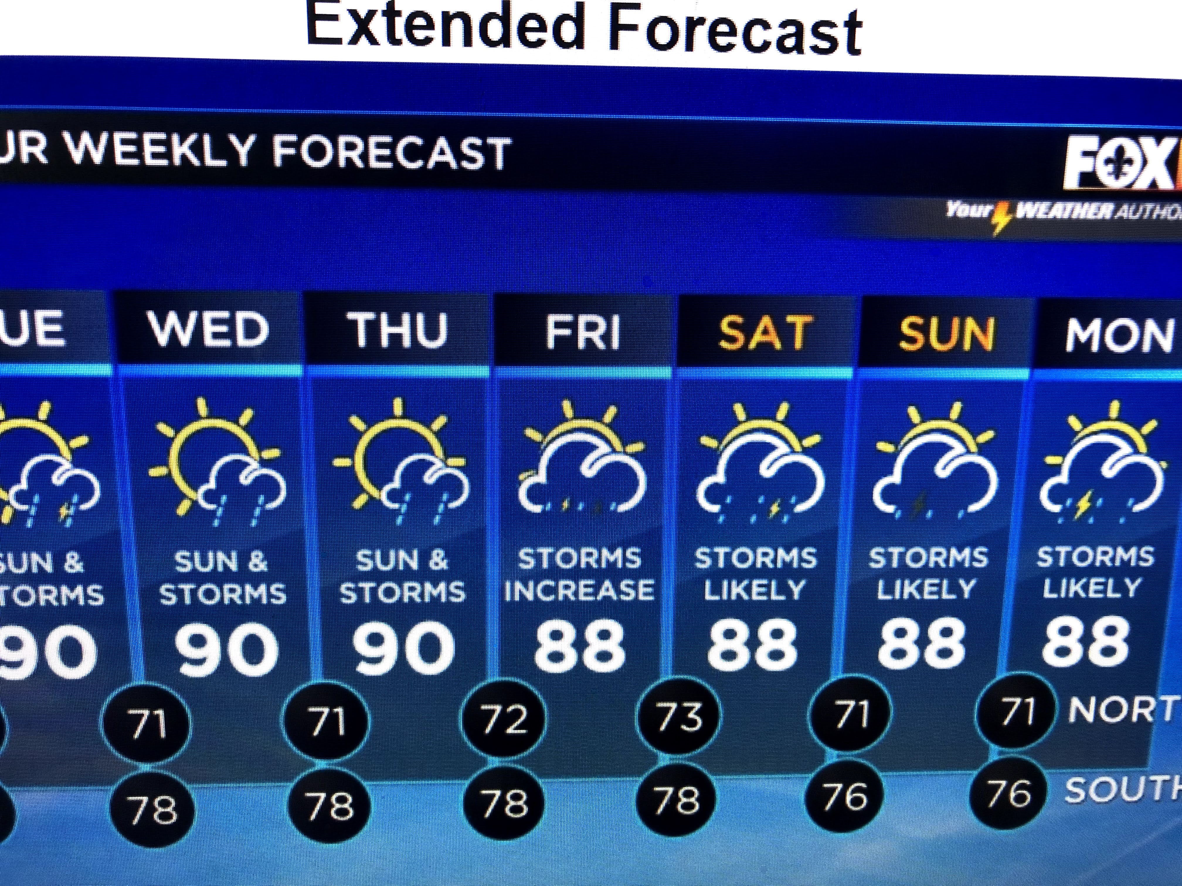

As models continue to develop a deep upper low over the eastern states for this holiday weekend, a cold front could get real close and maybe even by us by Saturday, Whether it stalls or not, it should increase our rain chances which could dampen any outdoor plans for Saturday & Sunday. I think all the recent rains have many of us hoping for drier weather even if it means hotter temps. Stay tuned!

No comments:
Post a Comment